Wildfire Alert Report
| Date: | 2023-08-20 |
|---|---|
| Time: | 20:06:17 |
| Production Date and Time: | 2023-08-20 20:10:59 UTC |
| Primary Instrument: | GOES-16 ABI |
| Wmo Spacecraft Id: | 152 |
| Location/orbit: | GEO |
| L1 File: | OR_ABI-L1b-RadC-M6C14_G16_s20232322006170_e20232322008543_c20232322009020.nc |
| L1 File(s) - Temporal | OR_ABI-L1b-RadC-M6C14_G16_s20232321956170_e20232321958543_c20232321959019.nc |
| Number Of Thermal Anomaly Alerts: | 7 |
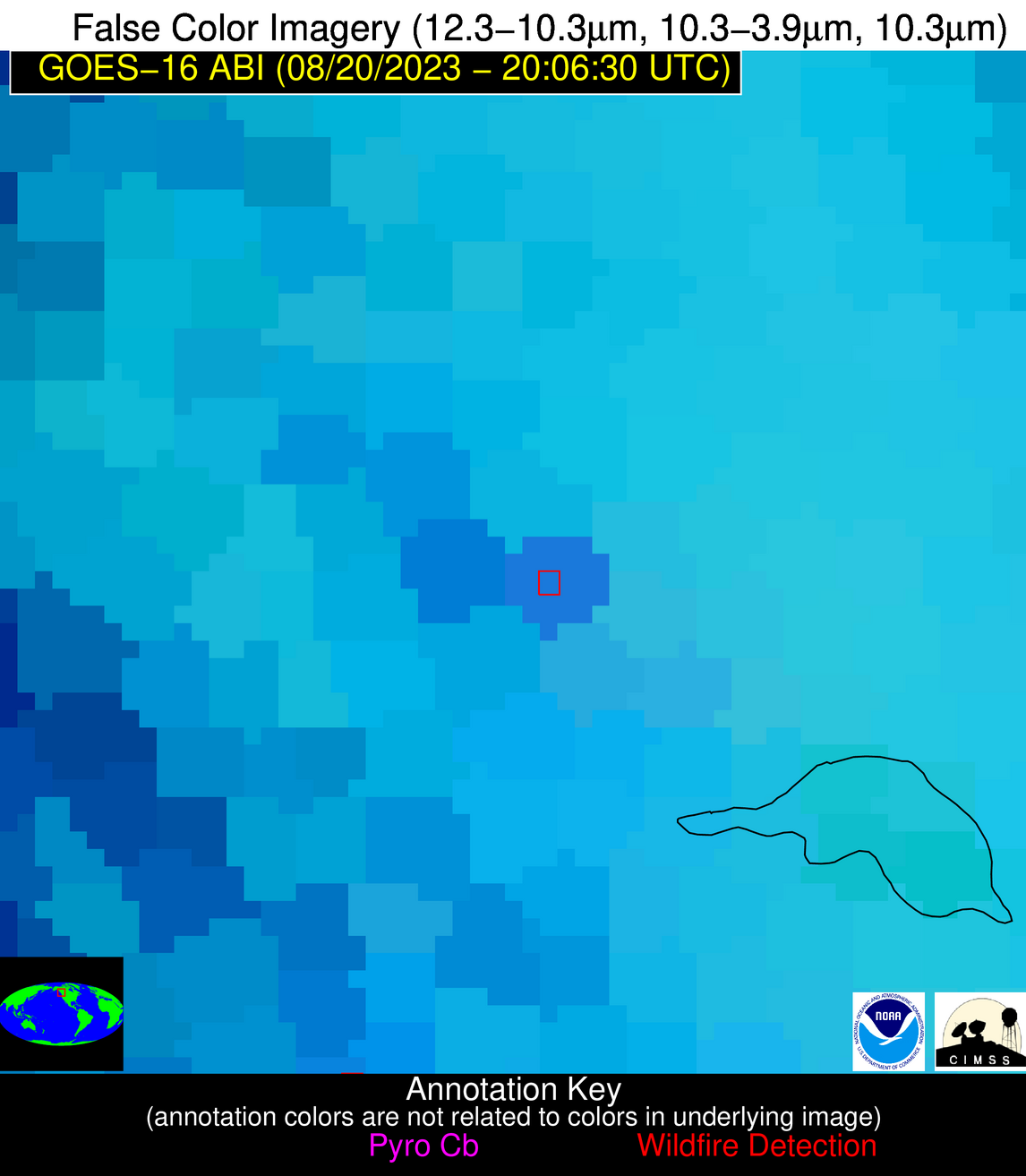
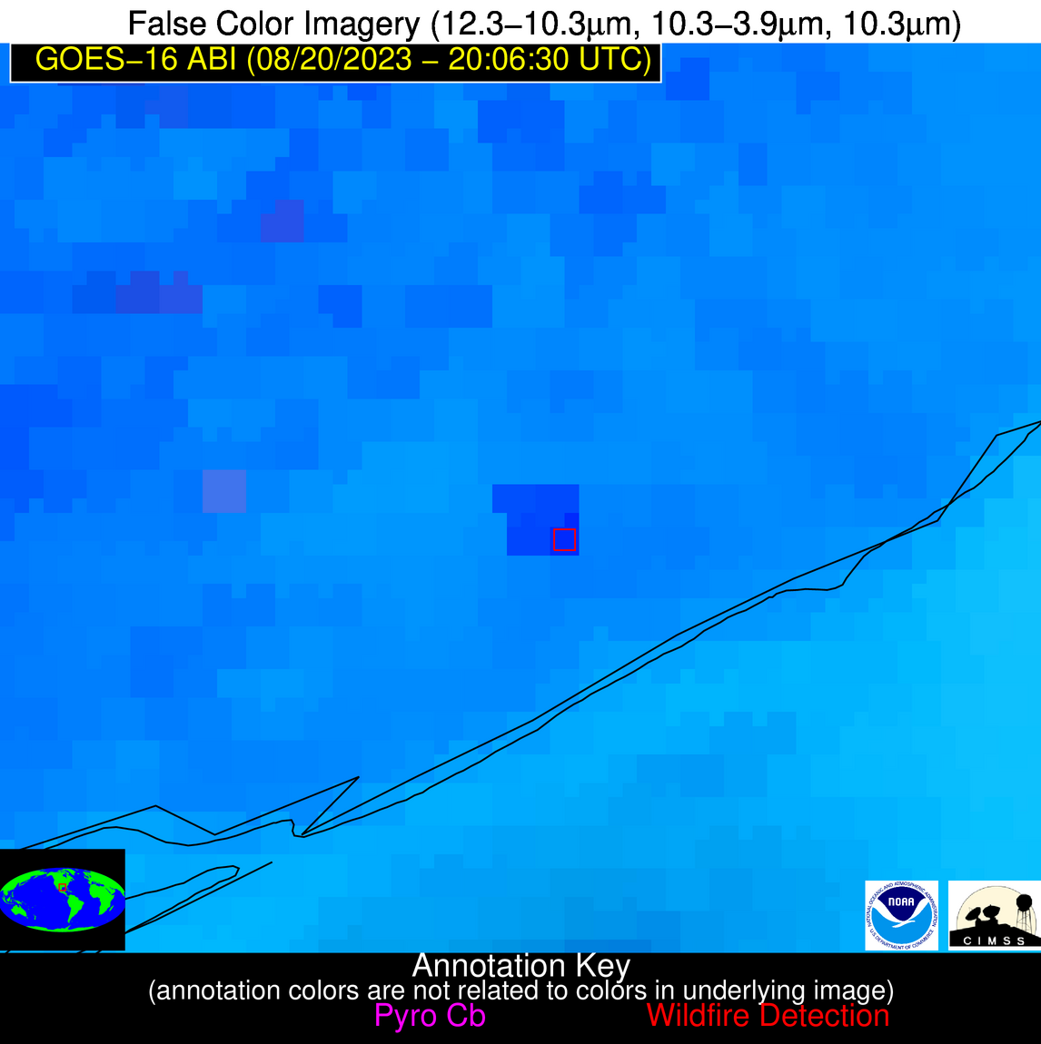
Possible Wildfire
| Basic Information | |
|---|---|
| State/Province(s) | Unknown |
| Country/Countries | Canada |
| County/Locality(s) | Canada |
| NWS WFO | N/A |
| Identification Method | Enhanced Contextual (Clear) |
| Mean Object Date/Time | 2023-08-20 20:06:19UTC |
| Radiative Center (Lat, Lon): | 52.320000°, -125.600000° |
| Nearby Counties (meeting alert criteria): |
|
| Total Radiative Power Anomaly | n/a |
| Total Radiative Power | 88.93 MW |
| Map: | |
| Additional Information | |
| Alert Status | New Feature |
| Type of Event | Nominal Risk |
| Event Priority Ranking | 4 |
| Maximum Observed BT (3.9 um) | 299.53 K |
| Observed - Background BT (3.9 um) | 8.12 K |
| BT Anomaly (3.9 um) | 5.58 K |
| Maximum Observed - Clear RTM BT (3.9 um) | 14.72 K |
| Maximum Observed BTD (3.9-10/11/12 um) | 17.70 K |
| Observed - Background BTD (3.9-10/11/12 um) | 8.93 K |
| BTD Anomaly (3.9-10/11/12 um) | 4.87 K |
| Similar Pixel Count | 7 |
| BT Time Tendency (3.9 um) | 9.00 K |
| Image Interval | 10.00 minutes |
| Fraction of Surrounding LWIR Pixels that are Colder | 0.50 |
| Fraction of Surrounding Red Channel Pixels that are Brighter | 0.99 |
| Maximum Radiative Power | 88.93 MW |
| Maximum Radiative Power Uncertainty | 0.00 MW |
| Total Radiative Power Uncertainty | 0.00 MW |
| Mean Viewing Angle | 76.30° |
| Mean Solar Zenith Angle | 39.60° |
| Mean Glint Angle | 102.80° |
| Water Fraction | 0.00 |
| Total Pixel Area | 38.90 km2 |
| Latest Satellite Imagery: | |
| View all event imagery » | |
Possible Wildfire
| Basic Information | |
|---|---|
| State/Province(s) | WY |
| Country/Countries | USA |
| County/Locality(s) | Campbell County, WY |
| NWS WFO | Rapid City SD |
| Identification Method | Enhanced Contextual (Cloud) |
| Mean Object Date/Time | 2023-08-20 20:06:19UTC |
| Radiative Center (Lat, Lon): | 43.710000°, -105.360000° |
| Nearby Counties (meeting alert criteria): |
|
| Total Radiative Power Anomaly | n/a |
| Total Radiative Power | 615.83 MW |
| Map: | |
| Additional Information | |
| Alert Status | New Feature |
| Type of Event | Nominal Risk |
| Event Priority Ranking | 4 |
| Maximum Observed BT (3.9 um) | 323.81 K |
| Observed - Background BT (3.9 um) | 25.02 K |
| BT Anomaly (3.9 um) | 10.16 K |
| Maximum Observed - Clear RTM BT (3.9 um) | 24.99 K |
| Maximum Observed BTD (3.9-10/11/12 um) | 54.39 K |
| Observed - Background BTD (3.9-10/11/12 um) | 24.70 K |
| BTD Anomaly (3.9-10/11/12 um) | 10.32 K |
| Similar Pixel Count | 0 |
| BT Time Tendency (3.9 um) | 27.80 K |
| Image Interval | 10.00 minutes |
| Fraction of Surrounding LWIR Pixels that are Colder | 0.57 |
| Fraction of Surrounding Red Channel Pixels that are Brighter | 0.67 |
| Maximum Radiative Power | 259.82 MW |
| Maximum Radiative Power Uncertainty | 0.00 MW |
| Total Radiative Power Uncertainty | 0.00 MW |
| Mean Viewing Angle | 59.10° |
| Mean Solar Zenith Angle | 33.50° |
| Mean Glint Angle | 75.50° |
| Water Fraction | 0.00 |
| Total Pixel Area | 41.50 km2 |
| Latest Satellite Imagery: | |
| View all event imagery » | |
Possible Wildfire
| Basic Information | |
|---|---|
| State/Province(s) | OR |
| Country/Countries | USA |
| County/Locality(s) | Jackson County, OR |
| NWS WFO | Medford OR |
| Identification Method | Enhanced Contextual (Cloud) |
| Mean Object Date/Time | 2023-08-20 20:06:48UTC |
| Radiative Center (Lat, Lon): | 42.080000°, -123.150000° |
| Nearby Counties (meeting alert criteria): |
|
| Total Radiative Power Anomaly | n/a |
| Total Radiative Power | 89.86 MW |
| Map: | |
| Additional Information | |
| Alert Status | New Feature |
| Type of Event | Nominal Risk, Known Incident: COLLINGS MTN (HIGH, tdiff=0.03911 days, POINT) |
| Event Priority Ranking | 4 |
| Maximum Observed BT (3.9 um) | 310.51 K |
| Observed - Background BT (3.9 um) | 14.43 K |
| BT Anomaly (3.9 um) | 7.89 K |
| Maximum Observed - Clear RTM BT (3.9 um) | 15.21 K |
| Maximum Observed BTD (3.9-10/11/12 um) | 27.23 K |
| Observed - Background BTD (3.9-10/11/12 um) | 15.45 K |
| BTD Anomaly (3.9-10/11/12 um) | 7.22 K |
| Similar Pixel Count | 0 |
| BT Time Tendency (3.9 um) | 9.60 K |
| Image Interval | 10.00 minutes |
| Fraction of Surrounding LWIR Pixels that are Colder | 0.51 |
| Fraction of Surrounding Red Channel Pixels that are Brighter | 0.62 |
| Maximum Radiative Power | 89.86 MW |
| Maximum Radiative Power Uncertainty | 0.00 MW |
| Total Radiative Power Uncertainty | 0.00 MW |
| Mean Viewing Angle | 68.80° |
| Mean Solar Zenith Angle | 29.30° |
| Mean Glint Angle | 87.30° |
| Water Fraction | 0.00 |
| Total Pixel Area | 20.00 km2 |
| Latest Satellite Imagery: | |
| View all event imagery » | |
Possible Wildfire
| Basic Information | |
|---|---|
| State/Province(s) | LA |
| Country/Countries | USA |
| County/Locality(s) | Morehouse Parish, LA |
| NWS WFO | Jackson MS |
| Identification Method | Enhanced Contextual (Clear) |
| Mean Object Date/Time | 2023-08-20 20:07:20UTC |
| Radiative Center (Lat, Lon): | 32.650000°, -91.880000° |
| Nearby Counties (meeting alert criteria): |
|
| Total Radiative Power Anomaly | n/a |
| Total Radiative Power | 28.51 MW |
| Map: | |
| Additional Information | |
| Alert Status | New Feature |
| Type of Event | Nominal Risk |
| Event Priority Ranking | 4 |
| Maximum Observed BT (3.9 um) | 320.88 K |
| Observed - Background BT (3.9 um) | 8.21 K |
| BT Anomaly (3.9 um) | 4.15 K |
| Maximum Observed - Clear RTM BT (3.9 um) | 10.39 K |
| Maximum Observed BTD (3.9-10/11/12 um) | 21.62 K |
| Observed - Background BTD (3.9-10/11/12 um) | 7.54 K |
| BTD Anomaly (3.9-10/11/12 um) | 6.06 K |
| Similar Pixel Count | 12 |
| BT Time Tendency (3.9 um) | 2.60 K |
| Image Interval | 10.00 minutes |
| Fraction of Surrounding LWIR Pixels that are Colder | 0.75 |
| Fraction of Surrounding Red Channel Pixels that are Brighter | 0.70 |
| Maximum Radiative Power | 28.51 MW |
| Maximum Radiative Power Uncertainty | 0.00 MW |
| Total Radiative Power Uncertainty | 0.00 MW |
| Mean Viewing Angle | 42.20° |
| Mean Solar Zenith Angle | 32.90° |
| Mean Glint Angle | 52.10° |
| Water Fraction | 0.00 |
| Total Pixel Area | 6.00 km2 |
| Latest Satellite Imagery: | |
| View all event imagery » | |
Possible Wildfire
| Basic Information | |
|---|---|
| State/Province(s) | TX |
| Country/Countries | USA |
| County/Locality(s) | Parker County, TX |
| NWS WFO | Fort Worth TX |
| Identification Method | Enhanced Contextual (Cloud) |
| Mean Object Date/Time | 2023-08-20 20:07:20UTC |
| Radiative Center (Lat, Lon): | 32.790000°, -97.640000° |
| Nearby Counties (meeting alert criteria): |
|
| Total Radiative Power Anomaly | n/a |
| Total Radiative Power | 871.80 MW |
| Map: | |
| Additional Information | |
| Alert Status | New Feature |
| Type of Event | Elevated SPC Risk |
| Event Priority Ranking | 3 |
| Maximum Observed BT (3.9 um) | 360.54 K |
| Observed - Background BT (3.9 um) | 37.40 K |
| BT Anomaly (3.9 um) | 25.47 K |
| Maximum Observed - Clear RTM BT (3.9 um) | 44.40 K |
| Maximum Observed BTD (3.9-10/11/12 um) | 55.64 K |
| Observed - Background BTD (3.9-10/11/12 um) | 35.69 K |
| BTD Anomaly (3.9-10/11/12 um) | 27.73 K |
| Similar Pixel Count | 0 |
| BT Time Tendency (3.9 um) | 33.90 K |
| Image Interval | 10.00 minutes |
| Fraction of Surrounding LWIR Pixels that are Colder | 1.00 |
| Fraction of Surrounding Red Channel Pixels that are Brighter | 1.00 |
| Maximum Radiative Power | 421.47 MW |
| Maximum Radiative Power Uncertainty | 0.00 MW |
| Total Radiative Power Uncertainty | 0.00 MW |
| Mean Viewing Angle | 45.40° |
| Mean Solar Zenith Angle | 29.00° |
| Mean Glint Angle | 52.30° |
| Water Fraction | 0.00 |
| Total Pixel Area | 26.20 km2 |
| Latest Satellite Imagery: | |
| View all event imagery » | |
Possible Wildfire
| Basic Information | |
|---|---|
| State/Province(s) | GA |
| Country/Countries | USA |
| County/Locality(s) | Pulaski County, GA |
| NWS WFO | Peachtree City GA |
| Identification Method | Enhanced Contextual (Cloud) |
| Mean Object Date/Time | 2023-08-20 20:07:21UTC |
| Radiative Center (Lat, Lon): | 32.130000°, -83.490000° |
| Nearby Counties (meeting alert criteria): |
|
| Total Radiative Power Anomaly | n/a |
| Total Radiative Power | 42.49 MW |
| Map: | |
| Additional Information | |
| Alert Status | New Feature |
| Type of Event | Nominal Risk |
| Event Priority Ranking | 4 |
| Maximum Observed BT (3.9 um) | 316.51 K |
| Observed - Background BT (3.9 um) | 11.34 K |
| BT Anomaly (3.9 um) | 15.51 K |
| Maximum Observed - Clear RTM BT (3.9 um) | 11.25 K |
| Maximum Observed BTD (3.9-10/11/12 um) | 21.60 K |
| Observed - Background BTD (3.9-10/11/12 um) | 10.01 K |
| BTD Anomaly (3.9-10/11/12 um) | 13.10 K |
| Similar Pixel Count | 0 |
| BT Time Tendency (3.9 um) | 10.60 K |
| Image Interval | 10.00 minutes |
| Fraction of Surrounding LWIR Pixels that are Colder | 1.00 |
| Fraction of Surrounding Red Channel Pixels that are Brighter | 1.00 |
| Maximum Radiative Power | 42.49 MW |
| Maximum Radiative Power Uncertainty | 0.00 MW |
| Total Radiative Power Uncertainty | 0.00 MW |
| Mean Viewing Angle | 38.60° |
| Mean Solar Zenith Angle | 39.10° |
| Mean Glint Angle | 55.30° |
| Water Fraction | 0.00 |
| Total Pixel Area | 5.50 km2 |
| Latest Satellite Imagery: | |
| View all event imagery » | |
Possible Wildfire
| Basic Information | |
|---|---|
| State/Province(s) | TX |
| Country/Countries | USA |
| County/Locality(s) | Brazoria County, TX |
| NWS WFO | Houston/Galveston TX |
| Identification Method | Enhanced Contextual (Clear) |
| Mean Object Date/Time | 2023-08-20 20:07:50UTC |
| Radiative Center (Lat, Lon): | 28.910000°, -95.530000° |
| Nearby Counties (meeting alert criteria): |
|
| Total Radiative Power Anomaly | n/a |
| Total Radiative Power | 180.93 MW |
| Map: | |
| Additional Information | |
| Alert Status | New Feature |
| Type of Event | Nominal Risk |
| Event Priority Ranking | 4 |
| Maximum Observed BT (3.9 um) | 326.03 K |
| Observed - Background BT (3.9 um) | 13.78 K |
| BT Anomaly (3.9 um) | 6.73 K |
| Maximum Observed - Clear RTM BT (3.9 um) | 13.74 K |
| Maximum Observed BTD (3.9-10/11/12 um) | 32.13 K |
| Observed - Background BTD (3.9-10/11/12 um) | 13.79 K |
| BTD Anomaly (3.9-10/11/12 um) | 9.24 K |
| Similar Pixel Count | 4 |
| BT Time Tendency (3.9 um) | 13.10 K |
| Image Interval | 10.00 minutes |
| Fraction of Surrounding LWIR Pixels that are Colder | 0.73 |
| Fraction of Surrounding Red Channel Pixels that are Brighter | 1.00 |
| Maximum Radiative Power | 77.13 MW |
| Maximum Radiative Power Uncertainty | 0.00 MW |
| Total Radiative Power Uncertainty | 0.00 MW |
| Mean Viewing Angle | 40.60° |
| Mean Solar Zenith Angle | 28.30° |
| Mean Glint Angle | 44.50° |
| Water Fraction | 0.00 |
| Total Pixel Area | 17.60 km2 |
| Latest Satellite Imagery: | |
| View all event imagery » | |


