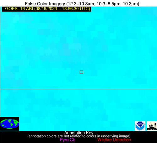
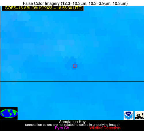
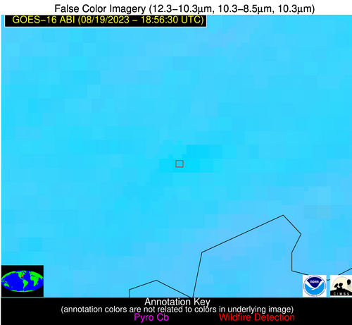
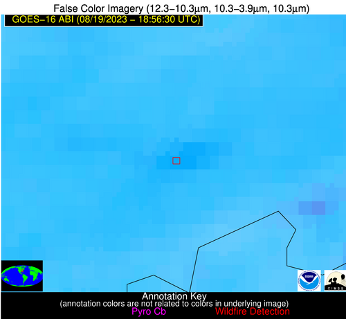
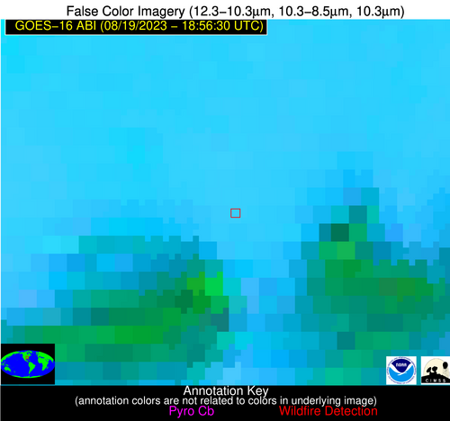
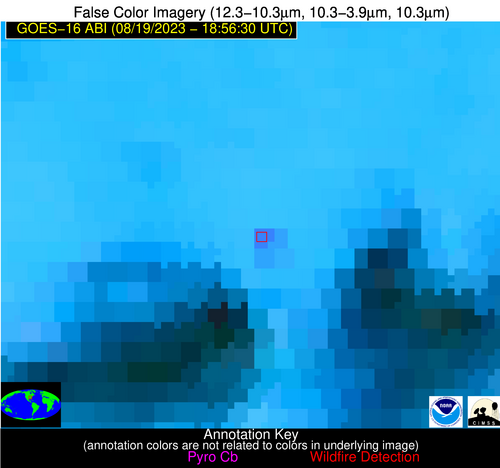
Wildfire Alert Report
| Date: | 2023-08-19 |
|---|---|
| Time: | 18:56:17 |
| Production Date and Time: | 2023-08-19 19:04:26 UTC |
| Primary Instrument: | GOES-16 ABI |
| Wmo Spacecraft Id: | 152 |
| Location/orbit: | GEO |
| L1 File: | OR_ABI-L1b-RadC-M6C14_G16_s20232311856170_e20232311858543_c20232311859032.nc |
| L1 File(s) - Temporal | OR_ABI-L1b-RadC-M6C14_G16_s20232311851170_e20232311853543_c20232311854016.nc |
| Number Of Thermal Anomaly Alerts: | 5 |
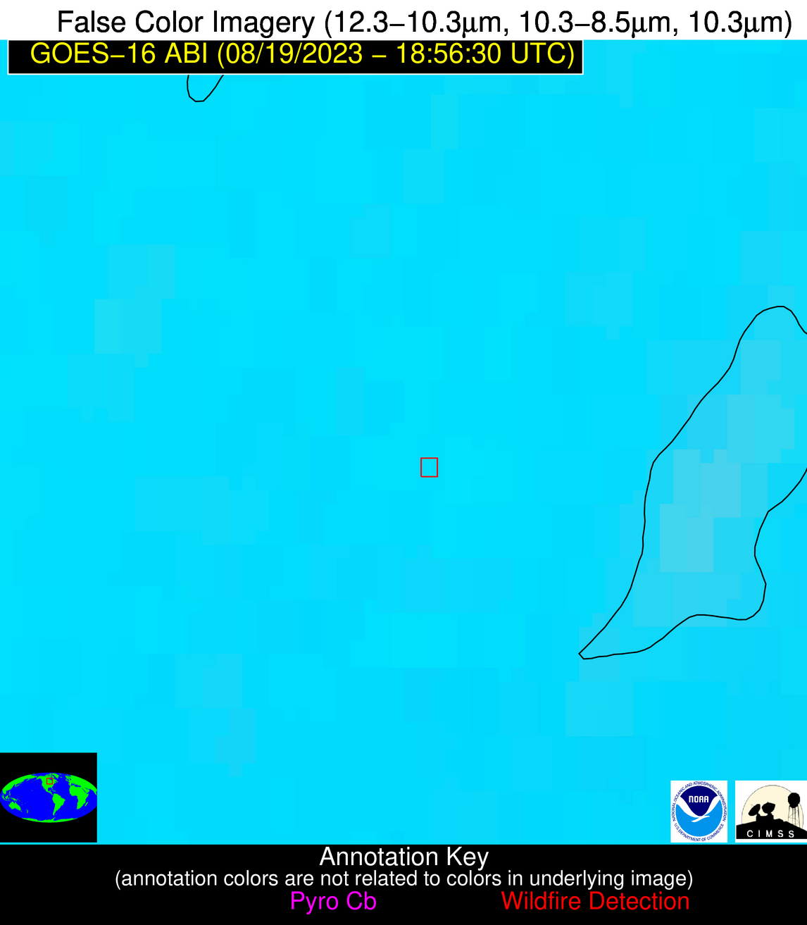
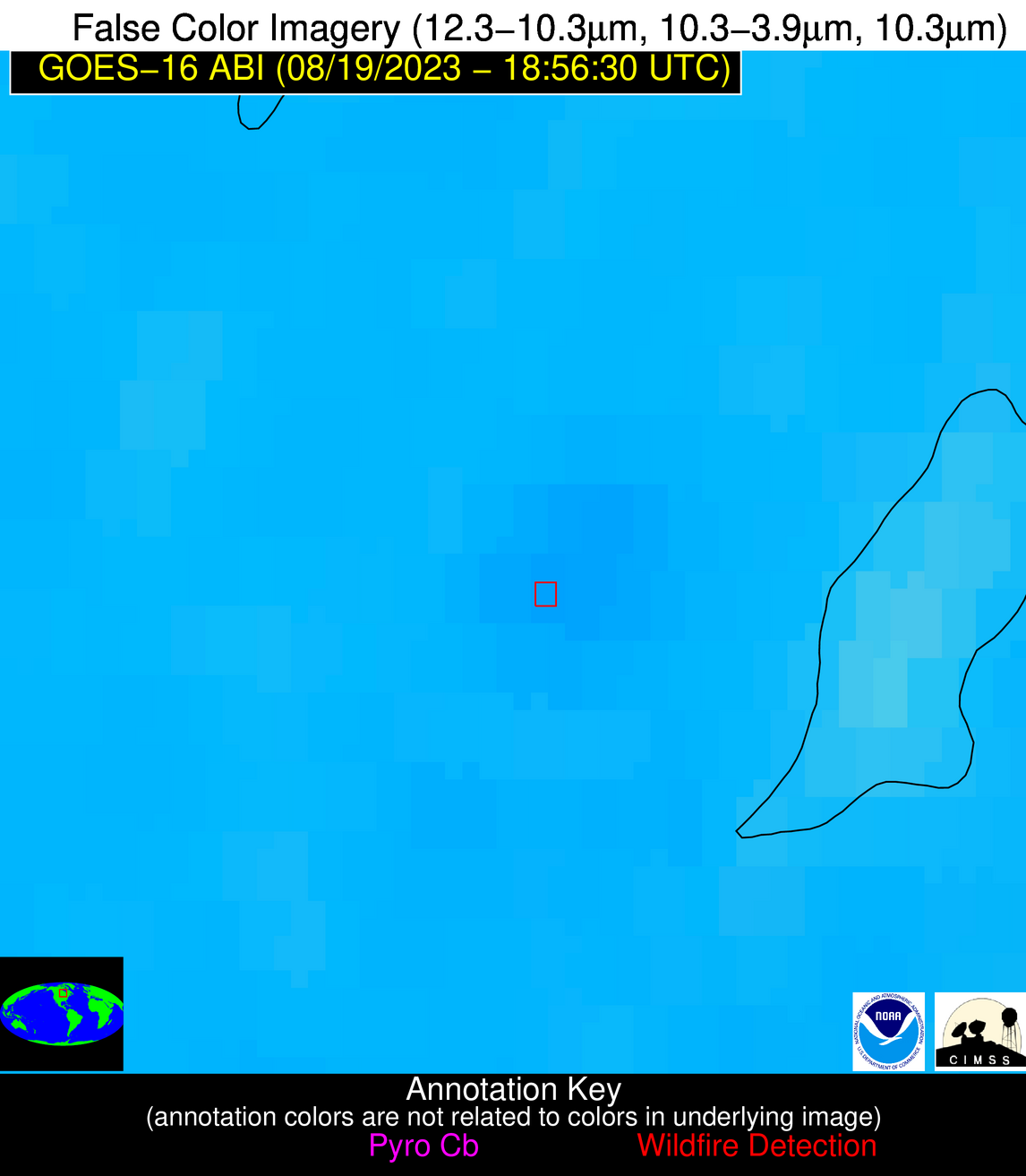
Possible Wildfire
| Basic Information | |
|---|---|
| State/Province(s) | Unknown |
| Country/Countries | Canada |
| County/Locality(s) | Canada |
| NWS WFO | N/A |
| Identification Method | Enhanced Contextual (Clear) |
| Mean Object Date/Time | 2023-08-19 18:56:21UTC |
| Radiative Center (Lat, Lon): | 50.500000°, -90.710000° |
| Nearby Counties (meeting alert criteria): |
|
| Total Radiative Power Anomaly | n/a |
| Total Radiative Power | 19.92 MW |
| Map: | |
| Additional Information | |
| Alert Status | New Feature |
| Type of Event | Nominal Risk |
| Event Priority Ranking | 4 |
| Maximum Observed BT (3.9 um) | 303.32 K |
| Observed - Background BT (3.9 um) | 5.33 K |
| BT Anomaly (3.9 um) | 8.52 K |
| Maximum Observed - Clear RTM BT (3.9 um) | 6.15 K |
| Maximum Observed BTD (3.9-10/11/12 um) | 13.66 K |
| Observed - Background BTD (3.9-10/11/12 um) | 3.72 K |
| BTD Anomaly (3.9-10/11/12 um) | 7.50 K |
| Similar Pixel Count | 25 |
| BT Time Tendency (3.9 um) | 0.20 K |
| Image Interval | 5.00 minutes |
| Fraction of Surrounding LWIR Pixels that are Colder | 1.00 |
| Fraction of Surrounding Red Channel Pixels that are Brighter | 1.00 |
| Maximum Radiative Power | 19.92 MW |
| Maximum Radiative Power Uncertainty | 0.00 MW |
| Total Radiative Power Uncertainty | 0.00 MW |
| Mean Viewing Angle | 60.00° |
| Mean Solar Zenith Angle | 38.60° |
| Mean Glint Angle | 91.60° |
| Water Fraction | 0.00 |
| Total Pixel Area | 9.70 km2 |
| Latest Satellite Imagery: | |
| View all event imagery » | |
Possible Wildfire
| Basic Information | |
|---|---|
| State/Province(s) | MN |
| Country/Countries | USA |
| County/Locality(s) | Otter Tail County, MN |
| NWS WFO | Grand Forks ND |
| Identification Method | Enhanced Contextual (Clear) |
| Mean Object Date/Time | 2023-08-19 18:56:20UTC |
| Radiative Center (Lat, Lon): | 46.270000°, -96.070000° |
| Nearby Counties (meeting alert criteria): |
|
| Total Radiative Power Anomaly | n/a |
| Total Radiative Power | 3.61 MW |
| Map: | |
| Additional Information | |
| Alert Status | New Feature |
| Type of Event | Nominal Risk |
| Event Priority Ranking | 4 |
| Maximum Observed BT (3.9 um) | 305.64 K |
| Observed - Background BT (3.9 um) | 3.91 K |
| BT Anomaly (3.9 um) | 3.76 K |
| Maximum Observed - Clear RTM BT (3.9 um) | 4.05 K |
| Maximum Observed BTD (3.9-10/11/12 um) | 14.69 K |
| Observed - Background BTD (3.9-10/11/12 um) | 3.15 K |
| BTD Anomaly (3.9-10/11/12 um) | 3.55 K |
| Similar Pixel Count | 25 |
| BT Time Tendency (3.9 um) | 0.30 K |
| Image Interval | 5.00 minutes |
| Fraction of Surrounding LWIR Pixels that are Colder | 0.96 |
| Fraction of Surrounding Red Channel Pixels that are Brighter | 1.00 |
| Maximum Radiative Power | 3.61 MW |
| Maximum Radiative Power Uncertainty | 0.00 MW |
| Total Radiative Power Uncertainty | 0.00 MW |
| Mean Viewing Angle | 57.40° |
| Mean Solar Zenith Angle | 33.60° |
| Mean Glint Angle | 84.60° |
| Water Fraction | 0.00 |
| Total Pixel Area | 9.10 km2 |
| Latest Satellite Imagery: | |
| View all event imagery » | |
Possible Wildfire
| Basic Information | |
|---|---|
| State/Province(s) | KS |
| Country/Countries | USA |
| County/Locality(s) | Sumner County, KS |
| NWS WFO | Wichita KS |
| Identification Method | Enhanced Contextual (Clear) |
| Mean Object Date/Time | 2023-08-19 18:56:50UTC |
| Radiative Center (Lat, Lon): | 37.070000°, -97.590000° |
| Nearby Counties (meeting alert criteria): |
|
| Total Radiative Power Anomaly | n/a |
| Total Radiative Power | 27.26 MW |
| Map: | |
| Additional Information | |
| Alert Status | New Feature |
| Type of Event | Nominal Risk |
| Event Priority Ranking | 4 |
| Maximum Observed BT (3.9 um) | 323.87 K |
| Observed - Background BT (3.9 um) | 5.28 K |
| BT Anomaly (3.9 um) | 3.14 K |
| Maximum Observed - Clear RTM BT (3.9 um) | 9.74 K |
| Maximum Observed BTD (3.9-10/11/12 um) | 16.69 K |
| Observed - Background BTD (3.9-10/11/12 um) | 5.02 K |
| BTD Anomaly (3.9-10/11/12 um) | 4.53 K |
| Similar Pixel Count | 17 |
| BT Time Tendency (3.9 um) | 2.90 K |
| Image Interval | 5.00 minutes |
| Fraction of Surrounding LWIR Pixels that are Colder | 0.64 |
| Fraction of Surrounding Red Channel Pixels that are Brighter | 0.91 |
| Maximum Radiative Power | 27.26 MW |
| Maximum Radiative Power Uncertainty | 0.00 MW |
| Total Radiative Power Uncertainty | 0.00 MW |
| Mean Viewing Angle | 49.30° |
| Mean Solar Zenith Angle | 24.30° |
| Mean Glint Angle | 67.40° |
| Water Fraction | 0.00 |
| Total Pixel Area | 7.20 km2 |
| Latest Satellite Imagery: | |
| View all event imagery » | |
Possible Wildfire
| Basic Information | |
|---|---|
| State/Province(s) | TN |
| Country/Countries | USA |
| County/Locality(s) | Greene County, TN |
| NWS WFO | Morristown TN |
| Identification Method | Enhanced Contextual (Clear) |
| Mean Object Date/Time | 2023-08-19 18:56:52UTC |
| Radiative Center (Lat, Lon): | 36.160000°, -82.820000° |
| Nearby Counties (meeting alert criteria): |
|
| Total Radiative Power Anomaly | n/a |
| Total Radiative Power | 34.02 MW |
| Map: | |
| Additional Information | |
| Alert Status | New Feature |
| Type of Event | Nominal Risk |
| Event Priority Ranking | 4 |
| Maximum Observed BT (3.9 um) | 308.73 K |
| Observed - Background BT (3.9 um) | 5.72 K |
| BT Anomaly (3.9 um) | 7.12 K |
| Maximum Observed - Clear RTM BT (3.9 um) | 10.72 K |
| Maximum Observed BTD (3.9-10/11/12 um) | 11.19 K |
| Observed - Background BTD (3.9-10/11/12 um) | 3.91 K |
| BTD Anomaly (3.9-10/11/12 um) | 6.28 K |
| Similar Pixel Count | 16 |
| BT Time Tendency (3.9 um) | 0.00 K |
| Image Interval | 5.00 minutes |
| Fraction of Surrounding LWIR Pixels that are Colder | 1.00 |
| Fraction of Surrounding Red Channel Pixels that are Brighter | 0.75 |
| Maximum Radiative Power | 17.44 MW |
| Maximum Radiative Power Uncertainty | 0.00 MW |
| Total Radiative Power Uncertainty | 0.00 MW |
| Mean Viewing Angle | 42.90° |
| Mean Solar Zenith Angle | 29.30° |
| Mean Glint Angle | 63.00° |
| Water Fraction | 0.00 |
| Total Pixel Area | 11.90 km2 |
| Latest Satellite Imagery: | |
| View all event imagery » | |
Possible Wildfire
| Basic Information | |
|---|---|
| State/Province(s) | TN |
| Country/Countries | USA |
| County/Locality(s) | McNairy County, TN |
| NWS WFO | Memphis TN |
| Identification Method | Enhanced Contextual (Clear) |
| Mean Object Date/Time | 2023-08-19 18:57:21UTC |
| Radiative Center (Lat, Lon): | 35.350000°, -88.510000° |
| Nearby Counties (meeting alert criteria): |
|
| Total Radiative Power Anomaly | n/a |
| Total Radiative Power | 32.90 MW |
| Map: | |
| Additional Information | |
| Alert Status | New Feature |
| Type of Event | Nominal Risk |
| Event Priority Ranking | 4 |
| Maximum Observed BT (3.9 um) | 310.81 K |
| Observed - Background BT (3.9 um) | 8.01 K |
| BT Anomaly (3.9 um) | 8.23 K |
| Maximum Observed - Clear RTM BT (3.9 um) | 7.92 K |
| Maximum Observed BTD (3.9-10/11/12 um) | 15.50 K |
| Observed - Background BTD (3.9-10/11/12 um) | 8.05 K |
| BTD Anomaly (3.9-10/11/12 um) | 12.10 K |
| Similar Pixel Count | 4 |
| BT Time Tendency (3.9 um) | 1.30 K |
| Image Interval | 5.00 minutes |
| Fraction of Surrounding LWIR Pixels that are Colder | 0.70 |
| Fraction of Surrounding Red Channel Pixels that are Brighter | 1.00 |
| Maximum Radiative Power | 32.90 MW |
| Maximum Radiative Power Uncertainty | 0.00 MW |
| Total Radiative Power Uncertainty | 0.00 MW |
| Mean Viewing Angle | 43.60° |
| Mean Solar Zenith Angle | 25.70° |
| Mean Glint Angle | 60.80° |
| Water Fraction | 0.00 |
| Total Pixel Area | 6.10 km2 |
| Latest Satellite Imagery: | |
| View all event imagery » | |
