Wildfire Alert Report
| Date: | 2023-08-19 |
|---|---|
| Time: | 16:31:17 |
| Production Date and Time: | 2023-08-19 16:36:07 UTC |
| Primary Instrument: | GOES-16 ABI |
| Wmo Spacecraft Id: | 152 |
| Location/orbit: | GEO |
| L1 File: | OR_ABI-L1b-RadC-M6C14_G16_s20232311631170_e20232311633543_c20232311634022.nc |
| L1 File(s) - Temporal | OR_ABI-L1b-RadC-M6C14_G16_s20232311626170_e20232311628543_c20232311629007.nc |
| Number Of Thermal Anomaly Alerts: | 3 |
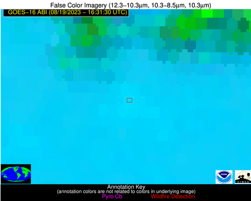
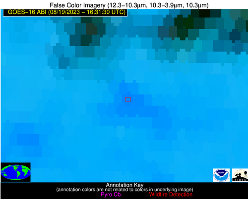
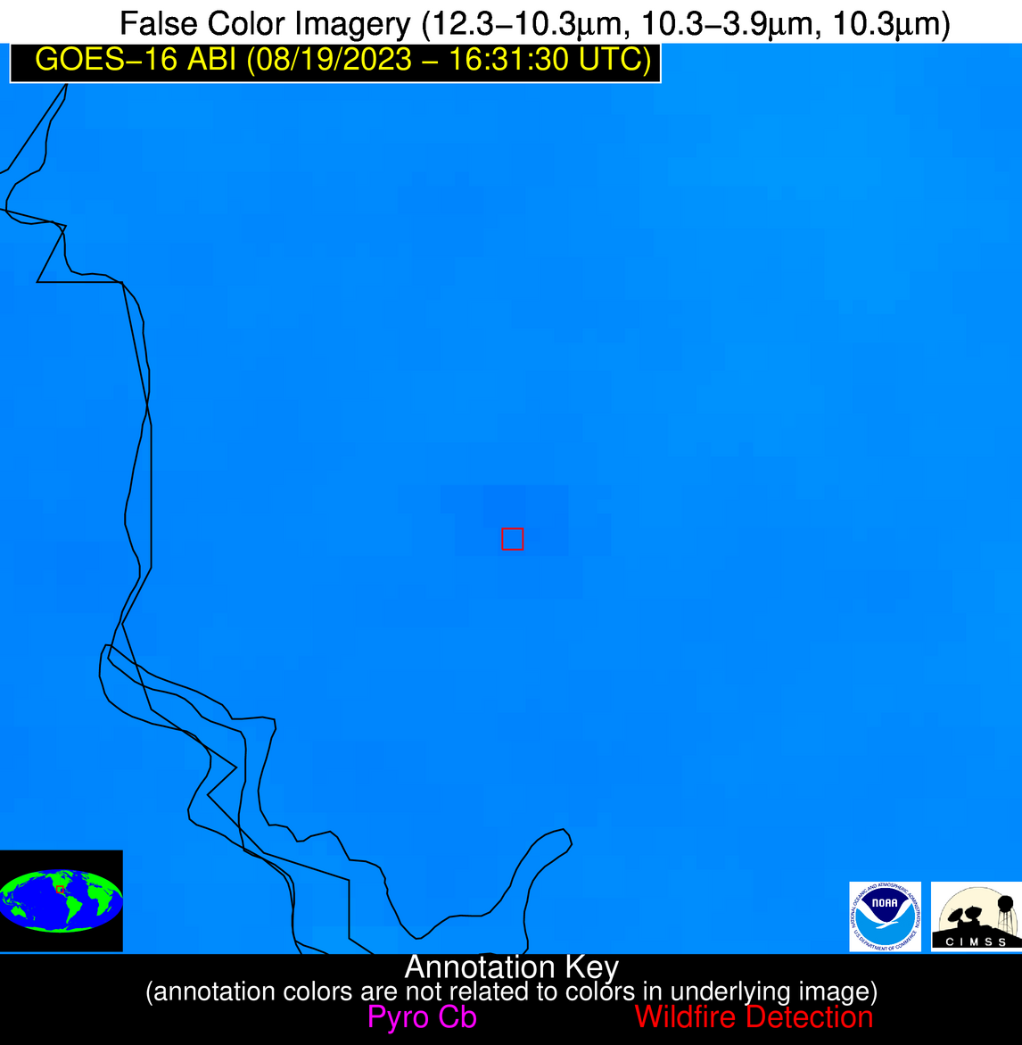
Possible Wildfire
| Basic Information | |
|---|---|
| State/Province(s) | MN |
| Country/Countries | USA |
| County/Locality(s) | St. Louis County, MN |
| NWS WFO | Duluth MN |
| Identification Method | Enhanced Contextual (Clear) |
| Mean Object Date/Time | 2023-08-19 16:31:21UTC |
| Radiative Center (Lat, Lon): | 47.570000°, -92.650000° |
| Nearby Counties (meeting alert criteria): |
|
| Total Radiative Power Anomaly | n/a |
| Total Radiative Power | 38.35 MW |
| Map: | |
| Additional Information | |
| Alert Status | New Feature |
| Type of Event | VIIRS 375m static sources 2013_2018 |
| Event Priority Ranking | 5 |
| Maximum Observed BT (3.9 um) | 306.97 K |
| Observed - Background BT (3.9 um) | 8.33 K |
| BT Anomaly (3.9 um) | 7.93 K |
| Maximum Observed - Clear RTM BT (3.9 um) | 14.13 K |
| Maximum Observed BTD (3.9-10/11/12 um) | 18.42 K |
| Observed - Background BTD (3.9-10/11/12 um) | 7.16 K |
| BTD Anomaly (3.9-10/11/12 um) | 7.47 K |
| Similar Pixel Count | 19 |
| BT Time Tendency (3.9 um) | 0.50 K |
| Image Interval | 5.00 minutes |
| Fraction of Surrounding LWIR Pixels that are Colder | 1.00 |
| Fraction of Surrounding Red Channel Pixels that are Brighter | 0.50 |
| Maximum Radiative Power | 38.35 MW |
| Maximum Radiative Power Uncertainty | 0.00 MW |
| Total Radiative Power Uncertainty | 0.00 MW |
| Mean Viewing Angle | 57.60° |
| Mean Solar Zenith Angle | 40.50° |
| Mean Glint Angle | 96.60° |
| Water Fraction | 0.00 |
| Total Pixel Area | 9.00 km2 |
| Latest Satellite Imagery: | |
| View all event imagery » | |
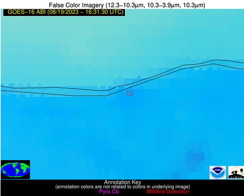
Possible Wildfire
| Basic Information | |
|---|---|
| State/Province(s) | MI |
| Country/Countries | USA |
| County/Locality(s) | Luce County, MI |
| NWS WFO | Marquette MI |
| Identification Method | Enhanced Contextual (Clear) |
| Mean Object Date/Time | 2023-08-19 16:31:21UTC |
| Radiative Center (Lat, Lon): | 46.680000°, -85.430000° |
| Nearby Counties (meeting alert criteria): |
|
| Total Radiative Power Anomaly | n/a |
| Total Radiative Power | 26.09 MW |
| Map: | |
| Additional Information | |
| Alert Status | New Feature |
| Type of Event | Nominal Risk |
| Event Priority Ranking | 4 |
| Maximum Observed BT (3.9 um) | 300.34 K |
| Observed - Background BT (3.9 um) | 4.10 K |
| BT Anomaly (3.9 um) | 7.17 K |
| Maximum Observed - Clear RTM BT (3.9 um) | 8.08 K |
| Maximum Observed BTD (3.9-10/11/12 um) | 12.48 K |
| Observed - Background BTD (3.9-10/11/12 um) | 2.54 K |
| BTD Anomaly (3.9-10/11/12 um) | 5.26 K |
| Similar Pixel Count | 17 |
| BT Time Tendency (3.9 um) | 0.20 K |
| Image Interval | 5.00 minutes |
| Fraction of Surrounding LWIR Pixels that are Colder | 1.00 |
| Fraction of Surrounding Red Channel Pixels that are Brighter | 1.00 |
| Maximum Radiative Power | 15.92 MW |
| Maximum Radiative Power Uncertainty | 0.00 MW |
| Total Radiative Power Uncertainty | 0.00 MW |
| Mean Viewing Angle | 54.90° |
| Mean Solar Zenith Angle | 36.90° |
| Mean Glint Angle | 90.50° |
| Water Fraction | 0.00 |
| Total Pixel Area | 16.00 km2 |
| Latest Satellite Imagery: | |
| View all event imagery » | |
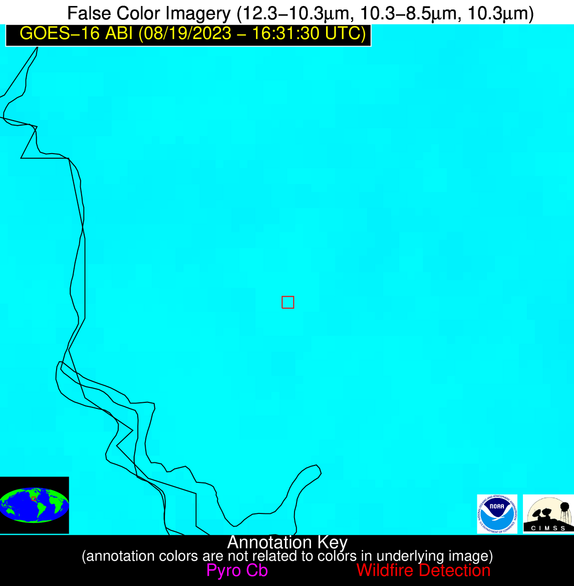
Possible Wildfire
| Basic Information | |
|---|---|
| State/Province(s) | TX |
| Country/Countries | USA |
| County/Locality(s) | Zapata County, TX |
| NWS WFO | Brownsville TX |
| Identification Method | Enhanced Contextual (Clear) |
| Mean Object Date/Time | 2023-08-19 16:32:49UTC |
| Radiative Center (Lat, Lon): | 27.120000°, -99.220000° |
| Nearby Counties (meeting alert criteria): |
|
| Total Radiative Power Anomaly | n/a |
| Total Radiative Power | 67.80 MW |
| Map: | |
| Additional Information | |
| Alert Status | New Feature |
| Type of Event | Nominal Risk |
| Event Priority Ranking | 4 |
| Maximum Observed BT (3.9 um) | 323.13 K |
| Observed - Background BT (3.9 um) | 4.60 K |
| BT Anomaly (3.9 um) | 9.48 K |
| Maximum Observed - Clear RTM BT (3.9 um) | 9.68 K |
| Maximum Observed BTD (3.9-10/11/12 um) | 22.87 K |
| Observed - Background BTD (3.9-10/11/12 um) | 2.75 K |
| BTD Anomaly (3.9-10/11/12 um) | 6.42 K |
| Similar Pixel Count | 25 |
| BT Time Tendency (3.9 um) | 0.50 K |
| Image Interval | 5.00 minutes |
| Fraction of Surrounding LWIR Pixels that are Colder | 1.00 |
| Fraction of Surrounding Red Channel Pixels that are Brighter | 1.00 |
| Maximum Radiative Power | 31.13 MW |
| Maximum Radiative Power Uncertainty | 0.00 MW |
| Total Radiative Power Uncertainty | 0.00 MW |
| Mean Viewing Angle | 41.50° |
| Mean Solar Zenith Angle | 33.20° |
| Mean Glint Angle | 72.30° |
| Water Fraction | 0.00 |
| Total Pixel Area | 18.10 km2 |
| Latest Satellite Imagery: | |
| View all event imagery » | |
