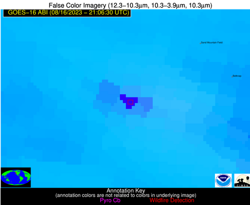
Wildfire Alert Report
| Date: | 2023-08-16 |
|---|---|
| Time: | 21:06:17 |
| Production Date and Time: | 2023-08-16 21:10:52 UTC |
| Primary Instrument: | GOES-16 ABI |
| Wmo Spacecraft Id: | 152 |
| Location/orbit: | GEO |
| L1 File: | OR_ABI-L1b-RadC-M6C14_G16_s20232282106174_e20232282108547_c20232282109027.nc |
| L1 File(s) - Temporal | OR_ABI-L1b-RadC-M6C14_G16_s20232282101174_e20232282103546_c20232282104035.nc |
| Number Of Thermal Anomaly Alerts: | 7 |
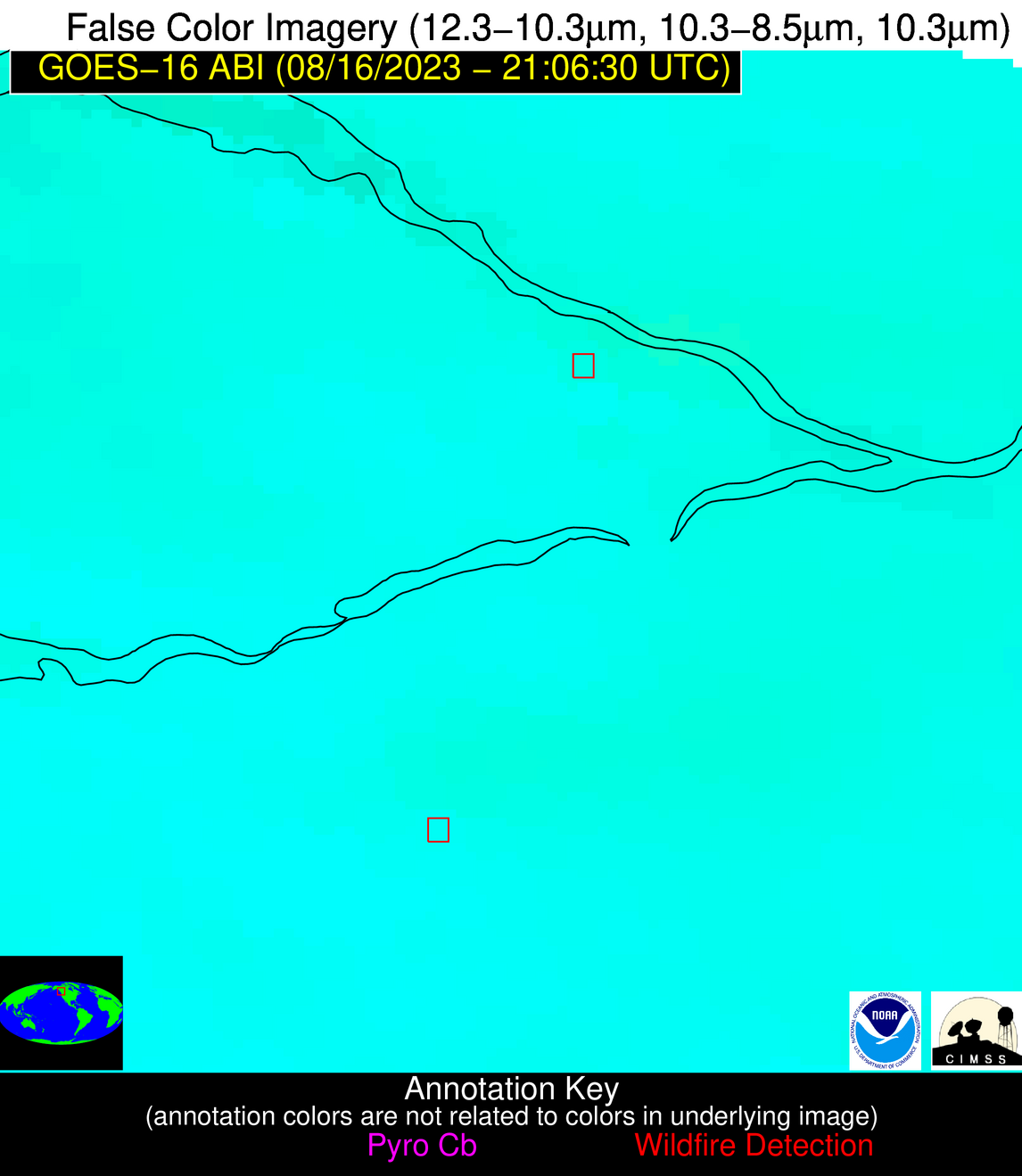
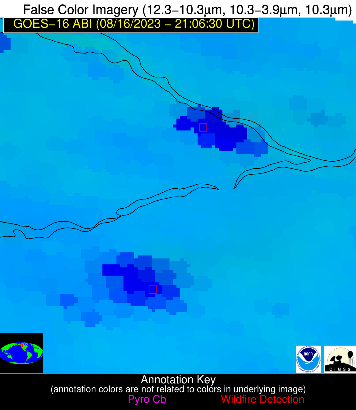
Possible Wildfire
| Basic Information | |
|---|---|
| State/Province(s) | Unknown |
| Country/Countries | Canada |
| County/Locality(s) | Canada |
| NWS WFO | N/A |
| Identification Method | Enhanced Contextual (Cloud) |
| Mean Object Date/Time | 2023-08-16 21:06:19UTC |
| Radiative Center (Lat, Lon): | 53.530000°, -125.640000° |
| Nearby Counties (meeting alert criteria): |
|
| Total Radiative Power Anomaly | n/a |
| Total Radiative Power | 5737.41 MW |
| Map: | |
| Additional Information | |
| Alert Status | New Feature |
| Type of Event | Nominal Risk |
| Event Priority Ranking | 4 |
| Maximum Observed BT (3.9 um) | 343.22 K |
| Observed - Background BT (3.9 um) | 48.20 K |
| BT Anomaly (3.9 um) | 19.12 K |
| Maximum Observed - Clear RTM BT (3.9 um) | 51.90 K |
| Maximum Observed BTD (3.9-10/11/12 um) | 60.97 K |
| Observed - Background BTD (3.9-10/11/12 um) | 47.93 K |
| BTD Anomaly (3.9-10/11/12 um) | 24.41 K |
| Similar Pixel Count | 0 |
| BT Time Tendency (3.9 um) | -3.20 K |
| Image Interval | 5.00 minutes |
| Fraction of Surrounding LWIR Pixels that are Colder | 0.58 |
| Fraction of Surrounding Red Channel Pixels that are Brighter | 0.00 |
| Maximum Radiative Power | 1348.12 MW |
| Maximum Radiative Power Uncertainty | 0.00 MW |
| Total Radiative Power Uncertainty | 0.00 MW |
| Mean Viewing Angle | 77.00° |
| Mean Solar Zenith Angle | 40.10° |
| Mean Glint Angle | 91.60° |
| Water Fraction | 0.00 |
| Total Pixel Area | 501.40 km2 |
| Latest Satellite Imagery: | |
| View all event imagery » | |
Possible Wildfire
| Basic Information | |
|---|---|
| State/Province(s) | Unknown |
| Country/Countries | Canada |
| County/Locality(s) | Canada |
| NWS WFO | N/A |
| Identification Method | Enhanced Contextual (Cloud) |
| Mean Object Date/Time | 2023-08-16 21:06:19UTC |
| Radiative Center (Lat, Lon): | 53.060000°, -125.850000° |
| Nearby Counties (meeting alert criteria): |
|
| Total Radiative Power Anomaly | n/a |
| Total Radiative Power | 2847.03 MW |
| Map: | |
| Additional Information | |
| Alert Status | New Feature |
| Type of Event | Nominal Risk |
| Event Priority Ranking | 4 |
| Maximum Observed BT (3.9 um) | 329.16 K |
| Observed - Background BT (3.9 um) | 30.85 K |
| BT Anomaly (3.9 um) | 10.81 K |
| Maximum Observed - Clear RTM BT (3.9 um) | 36.51 K |
| Maximum Observed BTD (3.9-10/11/12 um) | 44.46 K |
| Observed - Background BTD (3.9-10/11/12 um) | 30.38 K |
| BTD Anomaly (3.9-10/11/12 um) | 13.10 K |
| Similar Pixel Count | 0 |
| BT Time Tendency (3.9 um) | 0.60 K |
| Image Interval | 5.00 minutes |
| Fraction of Surrounding LWIR Pixels that are Colder | 0.74 |
| Fraction of Surrounding Red Channel Pixels that are Brighter | 0.09 |
| Maximum Radiative Power | 697.65 MW |
| Maximum Radiative Power Uncertainty | 0.00 MW |
| Total Radiative Power Uncertainty | 0.00 MW |
| Mean Viewing Angle | 76.90° |
| Mean Solar Zenith Angle | 39.60° |
| Mean Glint Angle | 91.30° |
| Water Fraction | 0.00 |
| Total Pixel Area | 208.30 km2 |
| Latest Satellite Imagery: | |
| View all event imagery » | |
Possible Wildfire
| Basic Information | |
|---|---|
| State/Province(s) | WA |
| Country/Countries | USA |
| County/Locality(s) | Whatcom County, WA |
| NWS WFO | Seattle WA |
| Identification Method | Enhanced Contextual (Cloud) |
| Mean Object Date/Time | 2023-08-16 21:06:19UTC |
| Radiative Center (Lat, Lon): | 48.770000°, -121.200000° |
| Nearby Counties (meeting alert criteria): |
|
| Total Radiative Power Anomaly | n/a |
| Total Radiative Power | 965.10 MW |
| Map: | |
| Additional Information | |
| Alert Status | New Feature |
| Type of Event | Nominal Risk and Red Flag Warning, Known Incident: SOURDOUGH (MEDIUM, tdiff=1.26764 days, PERIMETER) |
| Event Priority Ranking | 1 |
| Maximum Observed BT (3.9 um) | 336.64 K |
| Observed - Background BT (3.9 um) | 35.30 K |
| BT Anomaly (3.9 um) | 23.18 K |
| Maximum Observed - Clear RTM BT (3.9 um) | 37.79 K |
| Maximum Observed BTD (3.9-10/11/12 um) | 46.82 K |
| Observed - Background BTD (3.9-10/11/12 um) | 36.19 K |
| BTD Anomaly (3.9-10/11/12 um) | 35.08 K |
| Similar Pixel Count | 0 |
| BT Time Tendency (3.9 um) | 21.20 K |
| Image Interval | 5.00 minutes |
| Fraction of Surrounding LWIR Pixels that are Colder | 0.09 |
| Fraction of Surrounding Red Channel Pixels that are Brighter | 0.04 |
| Maximum Radiative Power | 622.38 MW |
| Maximum Radiative Power Uncertainty | 0.00 MW |
| Total Radiative Power Uncertainty | 0.00 MW |
| Mean Viewing Angle | 71.50° |
| Mean Solar Zenith Angle | 36.50° |
| Mean Glint Angle | 82.30° |
| Water Fraction | 0.00 |
| Total Pixel Area | 48.10 km2 |
| Latest Satellite Imagery: | |
| View all event imagery » | |
Possible Wildfire
| Basic Information | |
|---|---|
| State/Province(s) | OR |
| Country/Countries | USA |
| County/Locality(s) | Lane County, OR |
| NWS WFO | Portland OR |
| Identification Method | Enhanced Contextual (Clear) |
| Mean Object Date/Time | 2023-08-16 21:06:48UTC |
| Radiative Center (Lat, Lon): | 44.210000°, -122.130000° |
| Nearby Counties (meeting alert criteria): |
|
| Total Radiative Power Anomaly | n/a |
| Total Radiative Power | 302.76 MW |
| Map: | |
| Additional Information | |
| Alert Status | New Feature |
| Type of Event | Nominal Risk, Known Incident: LOOKOUT (MEDIUM, tdiff=0.84487 days, PERIMETER) |
| Event Priority Ranking | 4 |
| Maximum Observed BT (3.9 um) | 326.75 K |
| Observed - Background BT (3.9 um) | 24.71 K |
| BT Anomaly (3.9 um) | 13.56 K |
| Maximum Observed - Clear RTM BT (3.9 um) | 27.67 K |
| Maximum Observed BTD (3.9-10/11/12 um) | 34.56 K |
| Observed - Background BTD (3.9-10/11/12 um) | 25.18 K |
| BTD Anomaly (3.9-10/11/12 um) | 17.99 K |
| Similar Pixel Count | 1 |
| BT Time Tendency (3.9 um) | 1.40 K |
| Image Interval | 5.00 minutes |
| Fraction of Surrounding LWIR Pixels that are Colder | 0.28 |
| Fraction of Surrounding Red Channel Pixels that are Brighter | 0.05 |
| Maximum Radiative Power | 302.76 MW |
| Maximum Radiative Power Uncertainty | 0.00 MW |
| Total Radiative Power Uncertainty | 0.00 MW |
| Mean Viewing Angle | 69.30° |
| Mean Solar Zenith Angle | 32.10° |
| Mean Glint Angle | 76.80° |
| Water Fraction | 0.00 |
| Total Pixel Area | 20.70 km2 |
| Latest Satellite Imagery: | |
| View all event imagery » | |
Possible Wildfire
| Basic Information | |
|---|---|
| State/Province(s) | AL |
| Country/Countries | USA |
| County/Locality(s) | Lowndes County, AL |
| NWS WFO | Birmingham AL |
| Identification Method | Enhanced Contextual (Clear) |
| Mean Object Date/Time | 2023-08-16 21:07:21UTC |
| Radiative Center (Lat, Lon): | 32.120000°, -86.900000° |
| Nearby Counties (meeting alert criteria): |
|
| Total Radiative Power Anomaly | n/a |
| Total Radiative Power | 15.60 MW |
| Map: | |
| Additional Information | |
| Alert Status | New Feature |
| Type of Event | Nominal Risk |
| Event Priority Ranking | 4 |
| Maximum Observed BT (3.9 um) | 308.16 K |
| Observed - Background BT (3.9 um) | 5.22 K |
| BT Anomaly (3.9 um) | 4.55 K |
| Maximum Observed - Clear RTM BT (3.9 um) | 7.00 K |
| Maximum Observed BTD (3.9-10/11/12 um) | 11.91 K |
| Observed - Background BTD (3.9-10/11/12 um) | 5.37 K |
| BTD Anomaly (3.9-10/11/12 um) | 3.60 K |
| Similar Pixel Count | 9 |
| BT Time Tendency (3.9 um) | 2.00 K |
| Image Interval | 5.00 minutes |
| Fraction of Surrounding LWIR Pixels that are Colder | 0.60 |
| Fraction of Surrounding Red Channel Pixels that are Brighter | 1.00 |
| Maximum Radiative Power | 15.60 MW |
| Maximum Radiative Power Uncertainty | 0.00 MW |
| Total Radiative Power Uncertainty | 0.00 MW |
| Mean Viewing Angle | 39.70° |
| Mean Solar Zenith Angle | 47.70° |
| Mean Glint Angle | 52.60° |
| Water Fraction | 0.00 |
| Total Pixel Area | 5.70 km2 |
| Latest Satellite Imagery: | |
| View all event imagery » | |
Possible Wildfire
| Basic Information | |
|---|---|
| State/Province(s) | TX |
| Country/Countries | USA |
| County/Locality(s) | Pecos County, TX |
| NWS WFO | Midland/Odessa TX |
| Identification Method | Enhanced Contextual (Cloud) |
| Mean Object Date/Time | 2023-08-16 21:07:19UTC |
| Radiative Center (Lat, Lon): | 30.950000°, -103.350000° |
| Nearby Counties (meeting alert criteria): |
|
| Total Radiative Power Anomaly | n/a |
| Total Radiative Power | 1206.87 MW |
| Map: | |
| Additional Information | |
| Alert Status | New Feature |
| Type of Event | Nominal Risk |
| Event Priority Ranking | 4 |
| Maximum Observed BT (3.9 um) | 357.54 K |
| Observed - Background BT (3.9 um) | 43.92 K |
| BT Anomaly (3.9 um) | 16.68 K |
| Maximum Observed - Clear RTM BT (3.9 um) | 45.82 K |
| Maximum Observed BTD (3.9-10/11/12 um) | 71.30 K |
| Observed - Background BTD (3.9-10/11/12 um) | 45.19 K |
| BTD Anomaly (3.9-10/11/12 um) | 22.43 K |
| Similar Pixel Count | 0 |
| BT Time Tendency (3.9 um) | 41.30 K |
| Image Interval | 5.00 minutes |
| Fraction of Surrounding LWIR Pixels that are Colder | 0.06 |
| Fraction of Surrounding Red Channel Pixels that are Brighter | 0.00 |
| Maximum Radiative Power | 634.97 MW |
| Maximum Radiative Power Uncertainty | 0.00 MW |
| Total Radiative Power Uncertainty | 0.00 MW |
| Mean Viewing Angle | 47.50° |
| Mean Solar Zenith Angle | 33.90° |
| Mean Glint Angle | 43.40° |
| Water Fraction | 0.00 |
| Total Pixel Area | 21.10 km2 |
| Latest Satellite Imagery: | |
| View all event imagery » | |
Possible Wildfire
| Basic Information | |
|---|---|
| State/Province(s) | Unknown |
| Country/Countries | Mexico |
| County/Locality(s) | Mexico |
| NWS WFO | N/A |
| Identification Method | Enhanced Contextual (Clear) |
| Mean Object Date/Time | 2023-08-16 21:08:19UTC |
| Radiative Center (Lat, Lon): | 24.010000°, -98.940000° |
| Nearby Counties (meeting alert criteria): |
|
| Total Radiative Power Anomaly | n/a |
| Total Radiative Power | 17.36 MW |
| Map: | |
| Additional Information | |
| Alert Status | New Feature |
| Type of Event | Nominal Risk |
| Event Priority Ranking | 4 |
| Maximum Observed BT (3.9 um) | 321.14 K |
| Observed - Background BT (3.9 um) | 3.65 K |
| BT Anomaly (3.9 um) | 2.55 K |
| Maximum Observed - Clear RTM BT (3.9 um) | 10.58 K |
| Maximum Observed BTD (3.9-10/11/12 um) | 21.28 K |
| Observed - Background BTD (3.9-10/11/12 um) | 3.32 K |
| BTD Anomaly (3.9-10/11/12 um) | 2.38 K |
| Similar Pixel Count | 25 |
| BT Time Tendency (3.9 um) | 1.80 K |
| Image Interval | 5.00 minutes |
| Fraction of Surrounding LWIR Pixels that are Colder | 0.67 |
| Fraction of Surrounding Red Channel Pixels that are Brighter | 1.00 |
| Maximum Radiative Power | 17.36 MW |
| Maximum Radiative Power Uncertainty | 0.00 MW |
| Total Radiative Power Uncertainty | 0.00 MW |
| Mean Viewing Angle | 38.90° |
| Mean Solar Zenith Angle | 35.80° |
| Mean Glint Angle | 30.90° |
| Water Fraction | 0.00 |
| Total Pixel Area | 5.70 km2 |
| Latest Satellite Imagery: | |
| View all event imagery » | |
