Wildfire Alert Report
| Date: | 2023-08-16 |
|---|---|
| Time: | 20:36:17 |
| Production Date and Time: | 2023-08-16 20:40:56 UTC |
| Primary Instrument: | GOES-16 ABI |
| Wmo Spacecraft Id: | 152 |
| Location/orbit: | GEO |
| L1 File: | OR_ABI-L1b-RadC-M6C14_G16_s20232282036174_e20232282038546_c20232282039032.nc |
| L1 File(s) - Temporal | OR_ABI-L1b-RadC-M6C14_G16_s20232282031174_e20232282033546_c20232282034026.nc |
| Number Of Thermal Anomaly Alerts: | 8 |
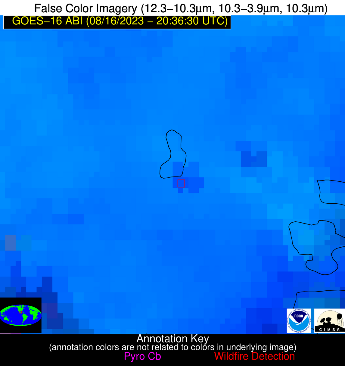
Possible Wildfire
| Basic Information | |
|---|---|
| State/Province(s) | Unknown |
| Country/Countries | Canada |
| County/Locality(s) | Canada |
| NWS WFO | N/A |
| Identification Method | Enhanced Contextual (Cloud) |
| Mean Object Date/Time | 2023-08-16 20:36:19UTC |
| Radiative Center (Lat, Lon): | 53.520000°, -125.490000° |
| Nearby Counties (meeting alert criteria): |
|
| Total Radiative Power Anomaly | n/a |
| Total Radiative Power | 2703.98 MW |
| Map: | |
| Additional Information | |
| Alert Status | New Feature |
| Type of Event | Nominal Risk |
| Event Priority Ranking | 4 |
| Maximum Observed BT (3.9 um) | 328.83 K |
| Observed - Background BT (3.9 um) | 33.64 K |
| BT Anomaly (3.9 um) | 13.64 K |
| Maximum Observed - Clear RTM BT (3.9 um) | 36.26 K |
| Maximum Observed BTD (3.9-10/11/12 um) | 46.79 K |
| Observed - Background BTD (3.9-10/11/12 um) | 33.60 K |
| BTD Anomaly (3.9-10/11/12 um) | 16.23 K |
| Similar Pixel Count | 0 |
| BT Time Tendency (3.9 um) | 6.80 K |
| Image Interval | 5.00 minutes |
| Fraction of Surrounding LWIR Pixels that are Colder | 0.47 |
| Fraction of Surrounding Red Channel Pixels that are Brighter | 0.46 |
| Maximum Radiative Power | 763.92 MW |
| Maximum Radiative Power Uncertainty | 0.00 MW |
| Total Radiative Power Uncertainty | 0.00 MW |
| Mean Viewing Angle | 77.00° |
| Mean Solar Zenith Angle | 39.40° |
| Mean Glint Angle | 97.70° |
| Water Fraction | 0.00 |
| Total Pixel Area | 209.20 km2 |
| Latest Satellite Imagery: | |
| View all event imagery » | |
Possible Wildfire
| Basic Information | |
|---|---|
| State/Province(s) | Unknown |
| Country/Countries | Canada |
| County/Locality(s) | Canada |
| NWS WFO | N/A |
| Identification Method | Enhanced Contextual (Cloud) |
| Mean Object Date/Time | 2023-08-16 20:36:19UTC |
| Radiative Center (Lat, Lon): | 53.060000°, -125.850000° |
| Nearby Counties (meeting alert criteria): |
|
| Total Radiative Power Anomaly | n/a |
| Total Radiative Power | 2111.91 MW |
| Map: | |
| Additional Information | |
| Alert Status | New Feature |
| Type of Event | Nominal Risk |
| Event Priority Ranking | 4 |
| Maximum Observed BT (3.9 um) | 328.63 K |
| Observed - Background BT (3.9 um) | 30.46 K |
| BT Anomaly (3.9 um) | 10.78 K |
| Maximum Observed - Clear RTM BT (3.9 um) | 36.85 K |
| Maximum Observed BTD (3.9-10/11/12 um) | 44.33 K |
| Observed - Background BTD (3.9-10/11/12 um) | 30.13 K |
| BTD Anomaly (3.9-10/11/12 um) | 14.51 K |
| Similar Pixel Count | 0 |
| BT Time Tendency (3.9 um) | -1.40 K |
| Image Interval | 5.00 minutes |
| Fraction of Surrounding LWIR Pixels that are Colder | 0.65 |
| Fraction of Surrounding Red Channel Pixels that are Brighter | 0.08 |
| Maximum Radiative Power | 701.69 MW |
| Maximum Radiative Power Uncertainty | 0.00 MW |
| Total Radiative Power Uncertainty | 0.00 MW |
| Mean Viewing Angle | 76.90° |
| Mean Solar Zenith Angle | 38.90° |
| Mean Glint Angle | 97.40° |
| Water Fraction | 0.00 |
| Total Pixel Area | 208.30 km2 |
| Latest Satellite Imagery: | |
| View all event imagery » | |
Possible Wildfire
| Basic Information | |
|---|---|
| State/Province(s) | MT |
| Country/Countries | USA |
| County/Locality(s) | Flathead County, MT |
| NWS WFO | Missoula MT |
| Identification Method | Enhanced Contextual (Clear) |
| Mean Object Date/Time | 2023-08-16 20:36:19UTC |
| Radiative Center (Lat, Lon): | 48.530000°, -114.810000° |
| Nearby Counties (meeting alert criteria): |
|
| Total Radiative Power Anomaly | n/a |
| Total Radiative Power | 77.22 MW |
| Map: | |
| Additional Information | |
| Alert Status | New Feature |
| Type of Event | Nominal Risk, Known Incident: EAST FORK (MEDIUM, tdiff=0.05782 days, PERIMETER) |
| Event Priority Ranking | 4 |
| Maximum Observed BT (3.9 um) | 310.36 K |
| Observed - Background BT (3.9 um) | 7.79 K |
| BT Anomaly (3.9 um) | 5.17 K |
| Maximum Observed - Clear RTM BT (3.9 um) | 13.79 K |
| Maximum Observed BTD (3.9-10/11/12 um) | 19.13 K |
| Observed - Background BTD (3.9-10/11/12 um) | 8.54 K |
| BTD Anomaly (3.9-10/11/12 um) | 8.54 K |
| Similar Pixel Count | 2 |
| BT Time Tendency (3.9 um) | 2.60 K |
| Image Interval | 5.00 minutes |
| Fraction of Surrounding LWIR Pixels that are Colder | 0.10 |
| Fraction of Surrounding Red Channel Pixels that are Brighter | 0.31 |
| Maximum Radiative Power | 77.22 MW |
| Maximum Radiative Power Uncertainty | 0.00 MW |
| Total Radiative Power Uncertainty | 0.00 MW |
| Mean Viewing Angle | 67.90° |
| Mean Solar Zenith Angle | 36.00° |
| Mean Glint Angle | 83.20° |
| Water Fraction | 0.00 |
| Total Pixel Area | 17.30 km2 |
| Latest Satellite Imagery: | |
| View all event imagery » | |
Possible Wildfire
| Basic Information | |
|---|---|
| State/Province(s) | KS |
| Country/Countries | USA |
| County/Locality(s) | Sumner County, KS |
| NWS WFO | Wichita KS |
| Identification Method | Enhanced Contextual (Cloud) |
| Mean Object Date/Time | 2023-08-16 20:36:50UTC |
| Radiative Center (Lat, Lon): | 37.020000°, -97.760000° |
| Nearby Counties (meeting alert criteria): |
|
| Total Radiative Power Anomaly | n/a |
| Total Radiative Power | 80.80 MW |
| Map: | |
| Additional Information | |
| Alert Status | New Feature |
| Type of Event | Nominal Risk |
| Event Priority Ranking | 4 |
| Maximum Observed BT (3.9 um) | 318.29 K |
| Observed - Background BT (3.9 um) | 10.74 K |
| BT Anomaly (3.9 um) | 9.03 K |
| Maximum Observed - Clear RTM BT (3.9 um) | 15.62 K |
| Maximum Observed BTD (3.9-10/11/12 um) | 20.76 K |
| Observed - Background BTD (3.9-10/11/12 um) | 10.00 K |
| BTD Anomaly (3.9-10/11/12 um) | 13.07 K |
| Similar Pixel Count | 0 |
| BT Time Tendency (3.9 um) | 6.20 K |
| Image Interval | 5.00 minutes |
| Fraction of Surrounding LWIR Pixels that are Colder | 0.90 |
| Fraction of Surrounding Red Channel Pixels that are Brighter | 1.00 |
| Maximum Radiative Power | 48.64 MW |
| Maximum Radiative Power Uncertainty | 0.00 MW |
| Total Radiative Power Uncertainty | 0.00 MW |
| Mean Viewing Angle | 49.30° |
| Mean Solar Zenith Angle | 35.30° |
| Mean Glint Angle | 56.60° |
| Water Fraction | 0.00 |
| Total Pixel Area | 14.50 km2 |
| Latest Satellite Imagery: | |
| View all event imagery » | |
Possible Wildfire
| Basic Information | |
|---|---|
| State/Province(s) | MS |
| Country/Countries | USA |
| County/Locality(s) | Washington County, MS |
| NWS WFO | Jackson MS |
| Identification Method | Enhanced Contextual (Cloud) |
| Mean Object Date/Time | 2023-08-16 20:37:21UTC |
| Radiative Center (Lat, Lon): | 33.260000°, -90.750000° |
| Nearby Counties (meeting alert criteria): |
|
| Total Radiative Power Anomaly | n/a |
| Total Radiative Power | 169.58 MW |
| Map: | |
| Additional Information | |
| Alert Status | New Feature |
| Type of Event | Nominal Risk |
| Event Priority Ranking | 4 |
| Maximum Observed BT (3.9 um) | 321.25 K |
| Observed - Background BT (3.9 um) | 17.75 K |
| BT Anomaly (3.9 um) | 14.14 K |
| Maximum Observed - Clear RTM BT (3.9 um) | 19.78 K |
| Maximum Observed BTD (3.9-10/11/12 um) | 33.69 K |
| Observed - Background BTD (3.9-10/11/12 um) | 17.70 K |
| BTD Anomaly (3.9-10/11/12 um) | 8.75 K |
| Similar Pixel Count | 0 |
| BT Time Tendency (3.9 um) | 15.90 K |
| Image Interval | 5.00 minutes |
| Fraction of Surrounding LWIR Pixels that are Colder | 0.47 |
| Fraction of Surrounding Red Channel Pixels that are Brighter | 0.55 |
| Maximum Radiative Power | 110.24 MW |
| Maximum Radiative Power Uncertainty | 0.00 MW |
| Total Radiative Power Uncertainty | 0.00 MW |
| Mean Viewing Angle | 42.30° |
| Mean Solar Zenith Angle | 38.80° |
| Mean Glint Angle | 51.30° |
| Water Fraction | 0.00 |
| Total Pixel Area | 12.00 km2 |
| Latest Satellite Imagery: | |
| View all event imagery » | |
Possible Wildfire
| Basic Information | |
|---|---|
| State/Province(s) | LA |
| Country/Countries | USA |
| County/Locality(s) | East Carroll Parish, LA |
| NWS WFO | Jackson MS |
| Identification Method | Enhanced Contextual (Cloud) |
| Mean Object Date/Time | 2023-08-16 20:37:20UTC |
| Radiative Center (Lat, Lon): | 32.940000°, -91.240000° |
| Nearby Counties (meeting alert criteria): |
|
| Total Radiative Power Anomaly | n/a |
| Total Radiative Power | 339.79 MW |
| Map: | |
| Additional Information | |
| Alert Status | New Feature |
| Type of Event | Nominal Risk |
| Event Priority Ranking | 4 |
| Maximum Observed BT (3.9 um) | 338.11 K |
| Observed - Background BT (3.9 um) | 32.99 K |
| BT Anomaly (3.9 um) | 12.55 K |
| Maximum Observed - Clear RTM BT (3.9 um) | 35.83 K |
| Maximum Observed BTD (3.9-10/11/12 um) | 42.89 K |
| Observed - Background BTD (3.9-10/11/12 um) | 32.05 K |
| BTD Anomaly (3.9-10/11/12 um) | 14.82 K |
| Similar Pixel Count | 0 |
| BT Time Tendency (3.9 um) | 30.10 K |
| Image Interval | 5.00 minutes |
| Fraction of Surrounding LWIR Pixels that are Colder | 0.95 |
| Fraction of Surrounding Red Channel Pixels that are Brighter | 0.84 |
| Maximum Radiative Power | 188.87 MW |
| Maximum Radiative Power Uncertainty | 0.00 MW |
| Total Radiative Power Uncertainty | 0.00 MW |
| Mean Viewing Angle | 42.20° |
| Mean Solar Zenith Angle | 38.20° |
| Mean Glint Angle | 50.50° |
| Water Fraction | 0.00 |
| Total Pixel Area | 18.00 km2 |
| Latest Satellite Imagery: | |
| View all event imagery » | |
Possible Wildfire
| Basic Information | |
|---|---|
| State/Province(s) | MS |
| Country/Countries | USA |
| County/Locality(s) | Sharkey County, MS |
| NWS WFO | Jackson MS |
| Identification Method | Enhanced Contextual (Cloud) |
| Mean Object Date/Time | 2023-08-16 20:37:21UTC |
| Radiative Center (Lat, Lon): | 32.880000°, -90.830000° |
| Nearby Counties (meeting alert criteria): |
|
| Total Radiative Power Anomaly | n/a |
| Total Radiative Power | 264.36 MW |
| Map: | |
| Additional Information | |
| Alert Status | New Feature |
| Type of Event | Nominal Risk |
| Event Priority Ranking | 4 |
| Maximum Observed BT (3.9 um) | 334.61 K |
| Observed - Background BT (3.9 um) | 30.32 K |
| BT Anomaly (3.9 um) | 21.04 K |
| Maximum Observed - Clear RTM BT (3.9 um) | 32.23 K |
| Maximum Observed BTD (3.9-10/11/12 um) | 39.02 K |
| Observed - Background BTD (3.9-10/11/12 um) | 29.19 K |
| BTD Anomaly (3.9-10/11/12 um) | 25.08 K |
| Similar Pixel Count | 0 |
| BT Time Tendency (3.9 um) | 27.50 K |
| Image Interval | 5.00 minutes |
| Fraction of Surrounding LWIR Pixels that are Colder | 0.99 |
| Fraction of Surrounding Red Channel Pixels that are Brighter | 0.72 |
| Maximum Radiative Power | 165.56 MW |
| Maximum Radiative Power Uncertainty | 0.00 MW |
| Total Radiative Power Uncertainty | 0.00 MW |
| Mean Viewing Angle | 42.00° |
| Mean Solar Zenith Angle | 38.60° |
| Mean Glint Angle | 50.70° |
| Water Fraction | 0.00 |
| Total Pixel Area | 11.90 km2 |
| Latest Satellite Imagery: | |
| View all event imagery » | |
Possible Wildfire
| Basic Information | |
|---|---|
| State/Province(s) | Unknown |
| Country/Countries | Mexico |
| County/Locality(s) | Mexico |
| NWS WFO | N/A |
| Identification Method | Enhanced Contextual (Clear) |
| Mean Object Date/Time | 2023-08-16 20:38:19UTC |
| Radiative Center (Lat, Lon): | 22.430000°, -98.310000° |
| Nearby Counties (meeting alert criteria): |
|
| Total Radiative Power Anomaly | n/a |
| Total Radiative Power | 43.29 MW |
| Map: | |
| Additional Information | |
| Alert Status | New Feature |
| Type of Event | Nominal Risk |
| Event Priority Ranking | 4 |
| Maximum Observed BT (3.9 um) | 322.85 K |
| Observed - Background BT (3.9 um) | 5.04 K |
| BT Anomaly (3.9 um) | 3.29 K |
| Maximum Observed - Clear RTM BT (3.9 um) | 16.32 K |
| Maximum Observed BTD (3.9-10/11/12 um) | 27.94 K |
| Observed - Background BTD (3.9-10/11/12 um) | 5.14 K |
| BTD Anomaly (3.9-10/11/12 um) | 3.50 K |
| Similar Pixel Count | 25 |
| BT Time Tendency (3.9 um) | 2.70 K |
| Image Interval | 5.00 minutes |
| Fraction of Surrounding LWIR Pixels that are Colder | 0.57 |
| Fraction of Surrounding Red Channel Pixels that are Brighter | 1.00 |
| Maximum Radiative Power | 43.29 MW |
| Maximum Radiative Power Uncertainty | 0.00 MW |
| Total Radiative Power Uncertainty | 0.00 MW |
| Mean Viewing Angle | 37.20° |
| Mean Solar Zenith Angle | 29.30° |
| Mean Glint Angle | 29.20° |
| Water Fraction | 0.00 |
| Total Pixel Area | 5.50 km2 |
| Latest Satellite Imagery: | |
| View all event imagery » | |


