Wildfire Alert Report
| Date: | 2023-07-23 |
|---|---|
| Time: | 17:51:30 |
| Production Date and Time: | 2023-07-23 17:55:31 UTC |
| Primary Instrument: | GOES-16 ABI |
| Wmo Spacecraft Id: | 152 |
| Location/orbit: | GEO |
| L1 File: | OR_ABI-L1b-RadC-M6C14_G16_s20232041751170_e20232041753543_c20232041754050.nc |
| L1 File(s) - Temporal | OR_ABI-L1b-RadC-M6C14_G16_s20232041746170_e20232041748543_c20232041749030.nc |
| Number Of Thermal Anomaly Alerts: | 4 |
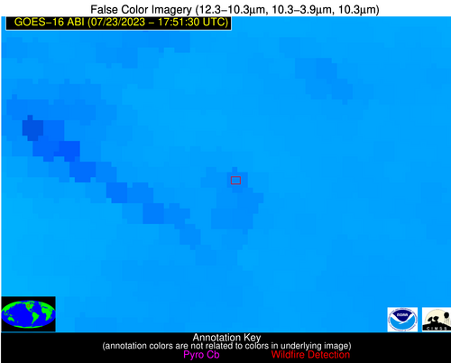
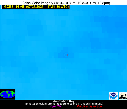
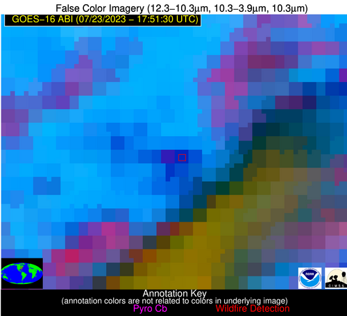
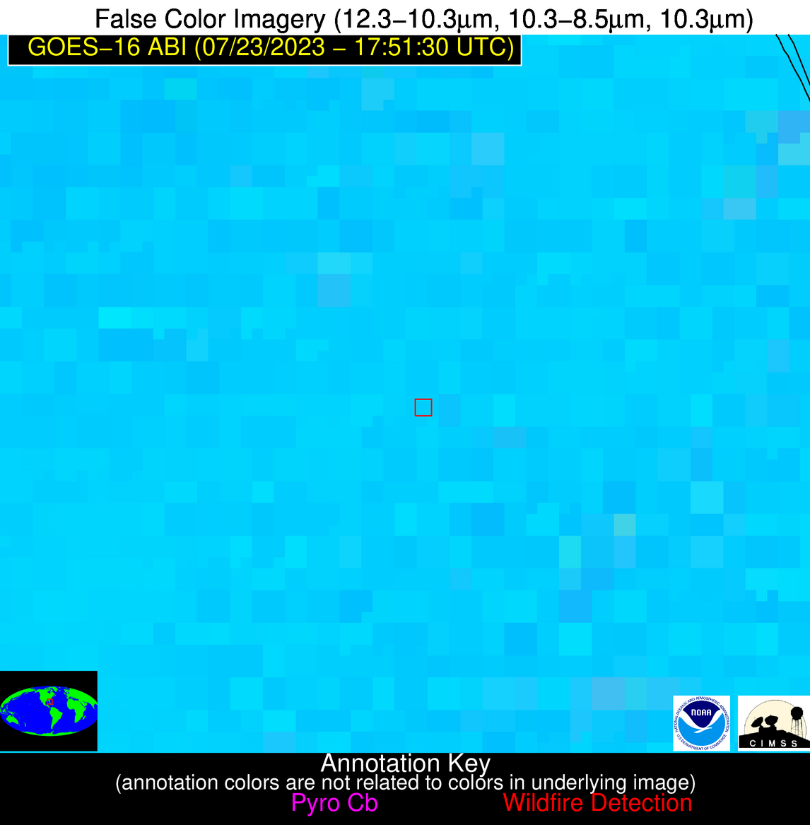
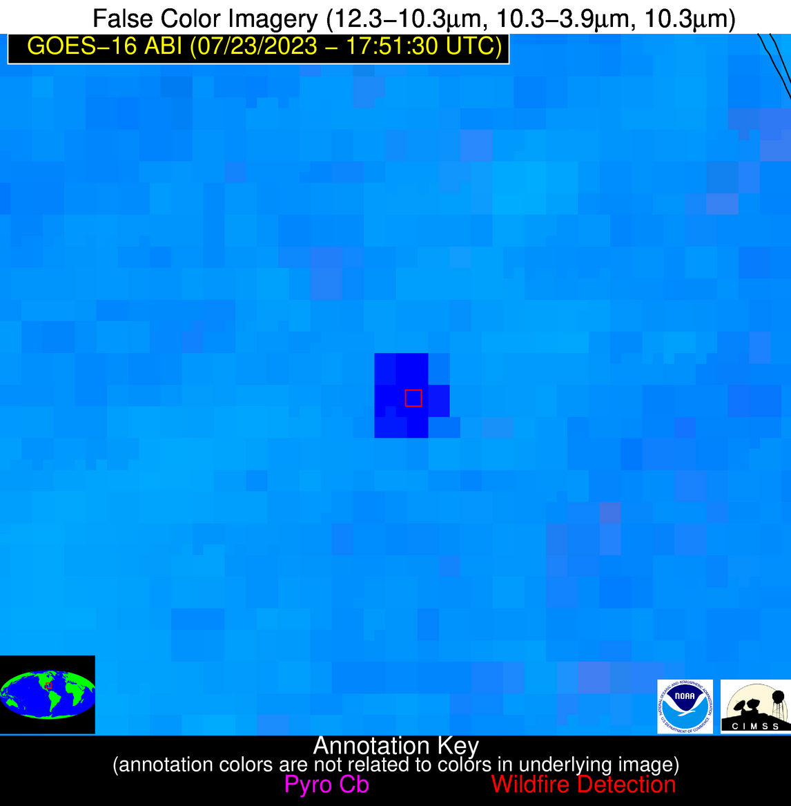
Possible Wildfire
| Basic Information | |
|---|---|
| State/Province(s) | MT |
| Country/Countries | USA |
| County/Locality(s) | Powder River County, MT |
| NWS WFO | Billings MT |
| Identification Method | Enhanced Contextual (Clear) |
| Mean Object Date/Time | 2023-07-23 17:51:20UTC |
| Radiative Center (Lat, Lon): | 45.490000°, -105.540000° |
| Nearby Counties (meeting alert criteria): |
|
| Total Radiative Power Anomaly | n/a |
| Total Radiative Power | 31.51 MW |
| Map: | |
| Additional Information | |
| Alert Status | New Feature |
| Type of Event | Nominal Risk |
| Event Priority Ranking | 4 |
| Maximum Observed BT (3.9 um) | 321.83 K |
| Observed - Background BT (3.9 um) | 4.12 K |
| BT Anomaly (3.9 um) | 2.72 K |
| Maximum Observed - Clear RTM BT (3.9 um) | 12.62 K |
| Maximum Observed BTD (3.9-10/11/12 um) | 18.45 K |
| Observed - Background BTD (3.9-10/11/12 um) | 4.23 K |
| BTD Anomaly (3.9-10/11/12 um) | 4.83 K |
| Similar Pixel Count | 25 |
| BT Time Tendency (3.9 um) | 1.40 K |
| Image Interval | 5.00 minutes |
| Fraction of Surrounding LWIR Pixels that are Colder | 0.45 |
| Fraction of Surrounding Red Channel Pixels that are Brighter | 1.00 |
| Maximum Radiative Power | 31.51 MW |
| Maximum Radiative Power Uncertainty | 0.00 MW |
| Total Radiative Power Uncertainty | 0.00 MW |
| Mean Viewing Angle | 60.70° |
| Mean Solar Zenith Angle | 29.60° |
| Mean Glint Angle | 90.30° |
| Water Fraction | 0.00 |
| Total Pixel Area | 11.10 km2 |
| Latest Satellite Imagery: | |
| View all event imagery » | |
Possible Wildfire
| Basic Information | |
|---|---|
| State/Province(s) | IL |
| Country/Countries | USA |
| County/Locality(s) | Grundy County, IL |
| NWS WFO | Chicago IL |
| Identification Method | Enhanced Contextual (Clear) |
| Mean Object Date/Time | 2023-07-23 17:51:51UTC |
| Radiative Center (Lat, Lon): | 41.370000°, -88.420000° |
| Nearby Counties (meeting alert criteria): |
|
| Total Radiative Power Anomaly | n/a |
| Total Radiative Power | 0.84 MW |
| Map: | |
| Additional Information | |
| Alert Status | New Feature |
| Type of Event | Likely an Urban Source |
| Event Priority Ranking | 5 |
| Maximum Observed BT (3.9 um) | 306.06 K |
| Observed - Background BT (3.9 um) | 5.81 K |
| BT Anomaly (3.9 um) | 3.80 K |
| Maximum Observed - Clear RTM BT (3.9 um) | 9.24 K |
| Maximum Observed BTD (3.9-10/11/12 um) | 14.44 K |
| Observed - Background BTD (3.9-10/11/12 um) | 4.35 K |
| BTD Anomaly (3.9-10/11/12 um) | 3.65 K |
| Similar Pixel Count | 23 |
| BT Time Tendency (3.9 um) | 0.30 K |
| Image Interval | 5.00 minutes |
| Fraction of Surrounding LWIR Pixels that are Colder | 0.99 |
| Fraction of Surrounding Red Channel Pixels that are Brighter | 1.00 |
| Maximum Radiative Power | 0.84 MW |
| Maximum Radiative Power Uncertainty | 0.00 MW |
| Total Radiative Power Uncertainty | 0.00 MW |
| Mean Viewing Angle | 49.90° |
| Mean Solar Zenith Angle | 21.00° |
| Mean Glint Angle | 70.40° |
| Water Fraction | 0.00 |
| Total Pixel Area | 7.10 km2 |
| Latest Satellite Imagery: | |
| View all event imagery » | |
Possible Wildfire
| Basic Information | |
|---|---|
| State/Province(s) | VA |
| Country/Countries | USA |
| County/Locality(s) | Botetourt County, VA |
| NWS WFO | Blacksburg VA |
| Identification Method | Enhanced Contextual (Cloud) |
| Mean Object Date/Time | 2023-07-23 17:51:52UTC |
| Radiative Center (Lat, Lon): | 37.580000°, -79.750000° |
| Nearby Counties (meeting alert criteria): |
|
| Total Radiative Power Anomaly | n/a |
| Total Radiative Power | 87.67 MW |
| Map: | |
| Additional Information | |
| Alert Status | New Feature |
| Type of Event | Nominal Risk |
| Event Priority Ranking | 4 |
| Maximum Observed BT (3.9 um) | 305.61 K |
| Observed - Background BT (3.9 um) | 9.80 K |
| BT Anomaly (3.9 um) | 6.62 K |
| Maximum Observed - Clear RTM BT (3.9 um) | 6.63 K |
| Maximum Observed BTD (3.9-10/11/12 um) | 29.81 K |
| Observed - Background BTD (3.9-10/11/12 um) | 9.91 K |
| BTD Anomaly (3.9-10/11/12 um) | 10.62 K |
| Similar Pixel Count | 0 |
| BT Time Tendency (3.9 um) | 7.20 K |
| Image Interval | 5.00 minutes |
| Fraction of Surrounding LWIR Pixels that are Colder | 0.47 |
| Fraction of Surrounding Red Channel Pixels that are Brighter | 0.65 |
| Maximum Radiative Power | 87.67 MW |
| Maximum Radiative Power Uncertainty | 0.00 MW |
| Total Radiative Power Uncertainty | 0.00 MW |
| Mean Viewing Angle | 44.00° |
| Mean Solar Zenith Angle | 18.10° |
| Mean Glint Angle | 60.50° |
| Water Fraction | 0.00 |
| Total Pixel Area | 6.10 km2 |
| Latest Satellite Imagery: | |
| View all event imagery » | |
Possible Wildfire
| Basic Information | |
|---|---|
| State/Province(s) | FL |
| Country/Countries | USA |
| County/Locality(s) | Okeechobee County, FL |
| NWS WFO | Melbourne FL |
| Identification Method | Enhanced Contextual (Bias) |
| Mean Object Date/Time | 2023-07-23 17:52:52UTC |
| Radiative Center (Lat, Lon): | 27.620000°, -80.780000° |
| Nearby Counties (meeting alert criteria): |
|
| Total Radiative Power Anomaly | n/a |
| Total Radiative Power | 1668.73 MW |
| Map: | |
| Additional Information | |
| Alert Status | New Feature |
| Type of Event | Nominal Risk |
| Event Priority Ranking | 4 |
| Maximum Observed BT (3.9 um) | 374.85 K |
| Observed - Background BT (3.9 um) | 67.79 K |
| BT Anomaly (3.9 um) | 54.09 K |
| Maximum Observed - Clear RTM BT (3.9 um) | 69.01 K |
| Maximum Observed BTD (3.9-10/11/12 um) | 80.29 K |
| Observed - Background BTD (3.9-10/11/12 um) | 65.45 K |
| BTD Anomaly (3.9-10/11/12 um) | 67.94 K |
| Similar Pixel Count | 0 |
| BT Time Tendency (3.9 um) | 62.30 K |
| Image Interval | 5.00 minutes |
| Fraction of Surrounding LWIR Pixels that are Colder | 1.00 |
| Fraction of Surrounding Red Channel Pixels that are Brighter | 0.00 |
| Maximum Radiative Power | 688.95 MW |
| Maximum Radiative Power Uncertainty | 0.00 MW |
| Total Radiative Power Uncertainty | 0.00 MW |
| Mean Viewing Angle | 33.00° |
| Mean Solar Zenith Angle | 8.80° |
| Mean Glint Angle | 39.30° |
| Water Fraction | 0.00 |
| Total Pixel Area | 45.40 km2 |
| Latest Satellite Imagery: | |
| View all event imagery » | |

