Wildfire Alert Report
| Date: | 2023-07-15 |
|---|---|
| Time: | 20:01:30 |
| Production Date and Time: | 2023-07-15 20:05:29 UTC |
| Primary Instrument: | GOES-16 ABI |
| Wmo Spacecraft Id: | 152 |
| Location/orbit: | GEO |
| L1 File: | OR_ABI-L1b-RadC-M6C14_G16_s20231962001177_e20231962003549_c20231962004039.nc |
| L1 File(s) - Temporal | OR_ABI-L1b-RadC-M6C14_G16_s20231961956177_e20231961958549_c20231961959027.nc |
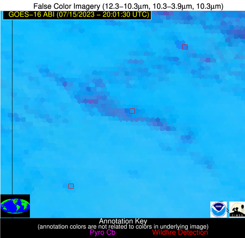
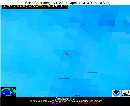
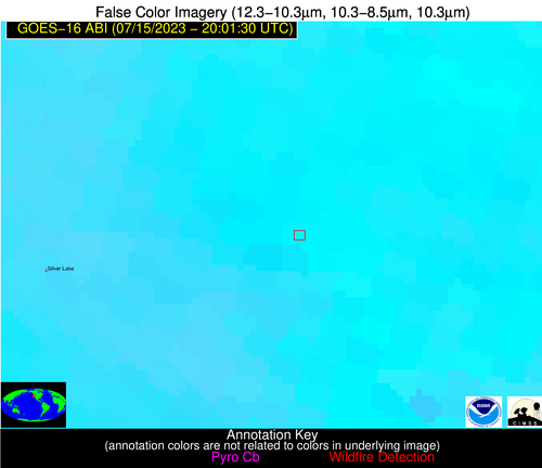
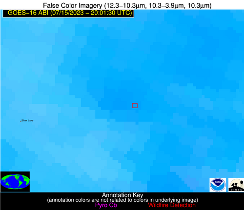
| Number Of Thermal Anomaly Alerts: | 5 |
Possible Wildfire
| Basic Information | |
|---|---|
| State/Province(s) | MN |
| Country/Countries | USA |
| County/Locality(s) | Chippewa County, MN |
| NWS WFO | Twin Cities/Chanhassen MN |
| Identification Method | Enhanced Contextual (Clear) |
| Mean Object Date/Time | 2023-07-15 20:01:20UTC |
| Radiative Center (Lat, Lon): | 44.930000°, -95.480000° |
| Nearby Counties (meeting alert criteria): |
|
| Total Radiative Power Anomaly | n/a |
| Total Radiative Power | 31.37 MW |
| Map: | |
| Additional Information | |
| Alert Status | New Feature |
| Type of Event | Nominal Risk |
| Event Priority Ranking | 4 |
| Maximum Observed BT (3.9 um) | 304.50 K |
| Observed - Background BT (3.9 um) | 7.42 K |
| BT Anomaly (3.9 um) | 10.16 K |
| Maximum Observed - Clear RTM BT (3.9 um) | 12.31 K |
| Maximum Observed BTD (3.9-10/11/12 um) | 16.38 K |
| Observed - Background BTD (3.9-10/11/12 um) | 6.41 K |
| BTD Anomaly (3.9-10/11/12 um) | 6.05 K |
| Similar Pixel Count | 13 |
| BT Time Tendency (3.9 um) | 5.40 K |
| Image Interval | 5.00 minutes |
| Fraction of Surrounding LWIR Pixels that are Colder | 0.96 |
| Fraction of Surrounding Red Channel Pixels that are Brighter | 1.00 |
| Maximum Radiative Power | 31.37 MW |
| Maximum Radiative Power Uncertainty | 0.00 MW |
| Total Radiative Power Uncertainty | 0.00 MW |
| Mean Viewing Angle | 55.80° |
| Mean Solar Zenith Angle | 30.10° |
| Mean Glint Angle | 67.70° |
| Water Fraction | 0.00 |
| Total Pixel Area | 8.60 km2 |
| Latest Satellite Imagery: | |
| View all event imagery » | |
Possible Wildfire
| Basic Information | |
|---|---|
| State/Province(s) | MN |
| Country/Countries | USA |
| County/Locality(s) | Pipestone County, MN |
| NWS WFO | Sioux Falls SD |
| Identification Method | Enhanced Contextual (Clear) |
| Mean Object Date/Time | 2023-07-15 20:01:20UTC |
| Radiative Center (Lat, Lon): | 43.890000°, -96.120000° |
| Nearby Counties (meeting alert criteria): |
|
| Total Radiative Power Anomaly | n/a |
| Total Radiative Power | 12.48 MW |
| Map: | |
| Additional Information | |
| Alert Status | New Feature |
| Type of Event | Nominal Risk |
| Event Priority Ranking | 4 |
| Maximum Observed BT (3.9 um) | 299.83 K |
| Observed - Background BT (3.9 um) | 3.49 K |
| BT Anomaly (3.9 um) | 5.19 K |
| Maximum Observed - Clear RTM BT (3.9 um) | 6.99 K |
| Maximum Observed BTD (3.9-10/11/12 um) | 11.12 K |
| Observed - Background BTD (3.9-10/11/12 um) | 3.15 K |
| BTD Anomaly (3.9-10/11/12 um) | 5.83 K |
| Similar Pixel Count | 25 |
| BT Time Tendency (3.9 um) | 1.30 K |
| Image Interval | 5.00 minutes |
| Fraction of Surrounding LWIR Pixels that are Colder | 0.79 |
| Fraction of Surrounding Red Channel Pixels that are Brighter | 1.00 |
| Maximum Radiative Power | 7.72 MW |
| Maximum Radiative Power Uncertainty | 0.00 MW |
| Total Radiative Power Uncertainty | 0.00 MW |
| Mean Viewing Angle | 55.10° |
| Mean Solar Zenith Angle | 29.10° |
| Mean Glint Angle | 65.80° |
| Water Fraction | 0.00 |
| Total Pixel Area | 16.90 km2 |
| Latest Satellite Imagery: | |
| View all event imagery » | |
Possible Wildfire
| Basic Information | |
|---|---|
| State/Province(s) | OR |
| Country/Countries | USA |
| County/Locality(s) | Linn County, OR |
| NWS WFO | Portland OR |
| Identification Method | Enhanced Contextual (Clear) |
| Mean Object Date/Time | 2023-07-15 20:01:48UTC |
| Radiative Center (Lat, Lon): | 44.520000°, -121.880000° |
| Nearby Counties (meeting alert criteria): |
|
| Total Radiative Power Anomaly | n/a |
| Total Radiative Power | 1.12 MW |
| Map: | |
| Additional Information | |
| Alert Status | New Feature |
| Type of Event | Nominal Risk |
| Event Priority Ranking | 4 |
| Maximum Observed BT (3.9 um) | 308.12 K |
| Observed - Background BT (3.9 um) | 2.98 K |
| BT Anomaly (3.9 um) | 1.22 K |
| Maximum Observed - Clear RTM BT (3.9 um) | 13.46 K |
| Maximum Observed BTD (3.9-10/11/12 um) | 11.55 K |
| Observed - Background BTD (3.9-10/11/12 um) | 2.53 K |
| BTD Anomaly (3.9-10/11/12 um) | 1.63 K |
| Similar Pixel Count | 16 |
| BT Time Tendency (3.9 um) | 0.60 K |
| Image Interval | 5.00 minutes |
| Fraction of Surrounding LWIR Pixels that are Colder | 0.59 |
| Fraction of Surrounding Red Channel Pixels that are Brighter | 1.00 |
| Maximum Radiative Power | 1.12 MW |
| Maximum Radiative Power Uncertainty | 0.00 MW |
| Total Radiative Power Uncertainty | 0.00 MW |
| Mean Viewing Angle | 69.40° |
| Mean Solar Zenith Angle | 22.90° |
| Mean Glint Angle | 84.90° |
| Water Fraction | 0.00 |
| Total Pixel Area | 20.70 km2 |
| Latest Satellite Imagery: | |
| View all event imagery » | |
Possible Wildfire
| Basic Information | |
|---|---|
| State/Province(s) | CA |
| Country/Countries | USA |
| County/Locality(s) | Shasta County, CA |
| NWS WFO | Sacramento CA |
| Identification Method | Enhanced Contextual (Clear) |
| Mean Object Date/Time | 2023-07-15 20:01:48UTC |
| Radiative Center (Lat, Lon): | 40.780000°, -121.510000° |
| Nearby Counties (meeting alert criteria): |
|
| Total Radiative Power Anomaly | n/a |
| Total Radiative Power | 52.42 MW |
| Map: | |
| Additional Information | |
| Alert Status | New Feature |
| Type of Event | Nominal Risk |
| Event Priority Ranking | 4 |
| Maximum Observed BT (3.9 um) | 315.98 K |
| Observed - Background BT (3.9 um) | 3.18 K |
| BT Anomaly (3.9 um) | 1.82 K |
| Maximum Observed - Clear RTM BT (3.9 um) | 10.34 K |
| Maximum Observed BTD (3.9-10/11/12 um) | 13.22 K |
| Observed - Background BTD (3.9-10/11/12 um) | 2.91 K |
| BTD Anomaly (3.9-10/11/12 um) | 2.93 K |
| Similar Pixel Count | 18 |
| BT Time Tendency (3.9 um) | 0.20 K |
| Image Interval | 5.00 minutes |
| Fraction of Surrounding LWIR Pixels that are Colder | 0.87 |
| Fraction of Surrounding Red Channel Pixels that are Brighter | 1.00 |
| Maximum Radiative Power | 30.79 MW |
| Maximum Radiative Power Uncertainty | 0.00 MW |
| Total Radiative Power Uncertainty | 0.00 MW |
| Mean Viewing Angle | 66.90° |
| Mean Solar Zenith Angle | 19.10° |
| Mean Glint Angle | 79.60° |
| Water Fraction | 0.00 |
| Total Pixel Area | 34.90 km2 |
| Latest Satellite Imagery: | |
| View all event imagery » | |
Possible Wildfire
| Basic Information | |
|---|---|
| State/Province(s) | OK |
| Country/Countries | USA |
| County/Locality(s) | Grant County, OK |
| NWS WFO | Norman OK |
| Identification Method | Enhanced Contextual (Cloud) |
| Mean Object Date/Time | 2023-07-15 20:01:50UTC |
| Radiative Center (Lat, Lon): | 36.600000°, -98.020000° |
| Nearby Counties (meeting alert criteria): |
|
| Total Radiative Power Anomaly | n/a |
| Total Radiative Power | 57.45 MW |
| Map: | |
| Additional Information | |
| Alert Status | New Feature |
| Type of Event | Nominal Risk |
| Event Priority Ranking | 4 |
| Maximum Observed BT (3.9 um) | 321.87 K |
| Observed - Background BT (3.9 um) | 11.78 K |
| BT Anomaly (3.9 um) | 7.39 K |
| Maximum Observed - Clear RTM BT (3.9 um) | 17.73 K |
| Maximum Observed BTD (3.9-10/11/12 um) | 23.88 K |
| Observed - Background BTD (3.9-10/11/12 um) | 10.31 K |
| BTD Anomaly (3.9-10/11/12 um) | 9.51 K |
| Similar Pixel Count | 0 |
| BT Time Tendency (3.9 um) | 9.10 K |
| Image Interval | 5.00 minutes |
| Fraction of Surrounding LWIR Pixels that are Colder | 0.98 |
| Fraction of Surrounding Red Channel Pixels that are Brighter | 1.00 |
| Maximum Radiative Power | 57.45 MW |
| Maximum Radiative Power Uncertainty | 0.00 MW |
| Total Radiative Power Uncertainty | 0.00 MW |
| Mean Viewing Angle | 49.00° |
| Mean Solar Zenith Angle | 23.40° |
| Mean Glint Angle | 52.30° |
| Water Fraction | 0.00 |
| Total Pixel Area | 7.20 km2 |
| Latest Satellite Imagery: | |
| View all event imagery » | |

