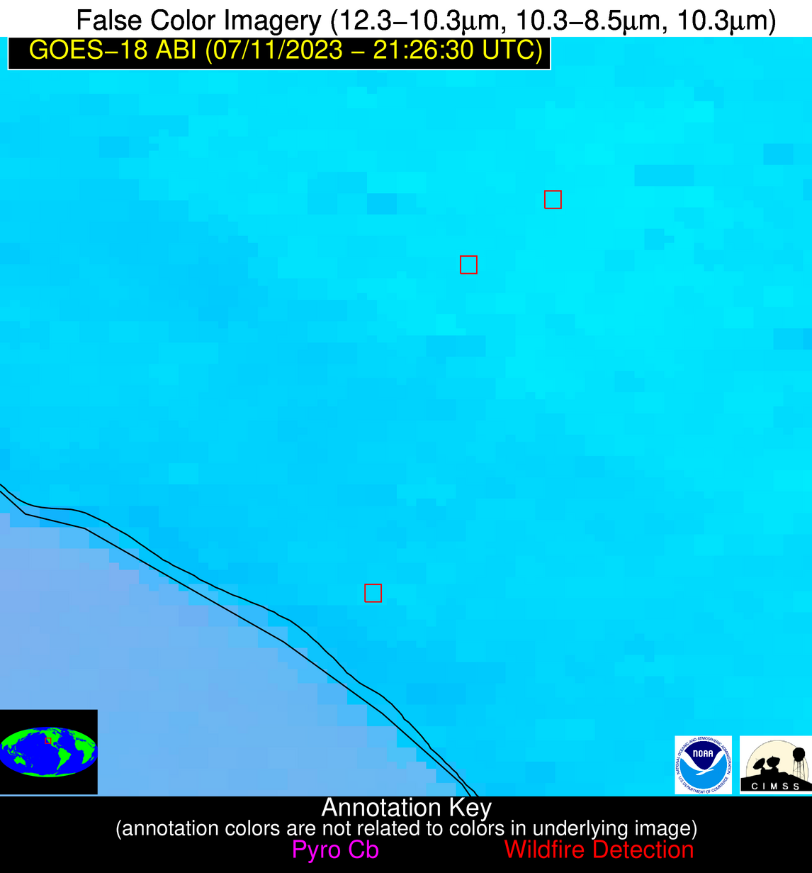
Wildfire Alert Report
| Date: | 2023-07-11 |
|---|---|
| Time: | 21:26:30 |
| Production Date and Time: | 2023-07-11 21:30:26 UTC |
| Primary Instrument: | GOES-18 ABI |
| Wmo Spacecraft Id: | 665 |
| Location/orbit: | GEO |
| L1 File: | OR_ABI-L1b-RadC-M6C14_G18_s20231922126176_e20231922128549_c20231922129041.nc |
| L1 File(s) - Temporal | OR_ABI-L1b-RadC-M6C14_G18_s20231922121176_e20231922123549_c20231922124042.nc |
| Number Of Thermal Anomaly Alerts: | 2 |
Possible Wildfire
| Basic Information | |
|---|---|
| State/Province(s) | CA |
| Country/Countries | USA |
| County/Locality(s) | Riverside County, CA |
| NWS WFO | San Diego CA |
| Identification Method | Enhanced Contextual (Cloud) |
| Mean Object Date/Time | 2023-07-11 21:27:23UTC |
| Radiative Center (Lat, Lon): | 33.760000°, -117.340000° |
| Nearby Counties (meeting alert criteria): |
|
| Total Radiative Power Anomaly | n/a |
| Total Radiative Power | 146.51 MW |
| Map: | |
| Additional Information | |
| Alert Status | New Feature |
| Type of Event | Nominal Risk, Known Incident: IDALEONA RD - GOLD VALLEY RD (MEDIUM, tdiff=1.99156 days, POINT) |
| Event Priority Ranking | 4 |
| Maximum Observed BT (3.9 um) | 333.69 K |
| Observed - Background BT (3.9 um) | 11.01 K |
| BT Anomaly (3.9 um) | 6.90 K |
| Maximum Observed - Clear RTM BT (3.9 um) | 27.37 K |
| Maximum Observed BTD (3.9-10/11/12 um) | 29.76 K |
| Observed - Background BTD (3.9-10/11/12 um) | 10.92 K |
| BTD Anomaly (3.9-10/11/12 um) | 10.35 K |
| Similar Pixel Count | 0 |
| BT Time Tendency (3.9 um) | 10.60 K |
| Image Interval | 5.00 minutes |
| Fraction of Surrounding LWIR Pixels that are Colder | 0.62 |
| Fraction of Surrounding Red Channel Pixels that are Brighter | 0.80 |
| Maximum Radiative Power | 81.40 MW |
| Maximum Radiative Power Uncertainty | 0.00 MW |
| Total Radiative Power Uncertainty | 0.00 MW |
| Mean Viewing Angle | 44.80° |
| Mean Solar Zenith Angle | 23.20° |
| Mean Glint Angle | 65.00° |
| Water Fraction | 0.00 |
| Total Pixel Area | 12.80 km2 |
| Latest Satellite Imagery: | |
| View all event imagery » | |
Possible Wildfire
| Basic Information | |
|---|---|
| State/Province(s) | CA |
| Country/Countries | USA |
| County/Locality(s) | San Diego County, CA |
| NWS WFO | San Diego CA |
| Identification Method | Enhanced Contextual (Clear) |
| Mean Object Date/Time | 2023-07-11 21:27:23UTC |
| Radiative Center (Lat, Lon): | 33.370000°, -117.420000° |
| Nearby Counties (meeting alert criteria): |
|
| Total Radiative Power Anomaly | n/a |
| Total Radiative Power | 28.25 MW |
| Map: | |
| Additional Information | |
| Alert Status | New Feature |
| Type of Event | Nominal Risk |
| Event Priority Ranking | 4 |
| Maximum Observed BT (3.9 um) | 321.06 K |
| Observed - Background BT (3.9 um) | 6.68 K |
| BT Anomaly (3.9 um) | 3.20 K |
| Maximum Observed - Clear RTM BT (3.9 um) | 11.15 K |
| Maximum Observed BTD (3.9-10/11/12 um) | 22.35 K |
| Observed - Background BTD (3.9-10/11/12 um) | 6.26 K |
| BTD Anomaly (3.9-10/11/12 um) | 4.58 K |
| Similar Pixel Count | 18 |
| BT Time Tendency (3.9 um) | 1.50 K |
| Image Interval | 5.00 minutes |
| Fraction of Surrounding LWIR Pixels that are Colder | 0.80 |
| Fraction of Surrounding Red Channel Pixels that are Brighter | 0.75 |
| Maximum Radiative Power | 28.25 MW |
| Maximum Radiative Power Uncertainty | 0.00 MW |
| Total Radiative Power Uncertainty | 0.00 MW |
| Mean Viewing Angle | 44.40° |
| Mean Solar Zenith Angle | 23.00° |
| Mean Glint Angle | 64.40° |
| Water Fraction | 0.00 |
| Total Pixel Area | 6.30 km2 |
| Latest Satellite Imagery: | |
| View all event imagery » | |


