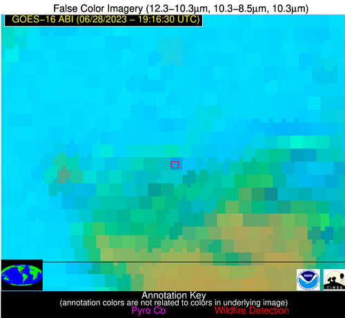
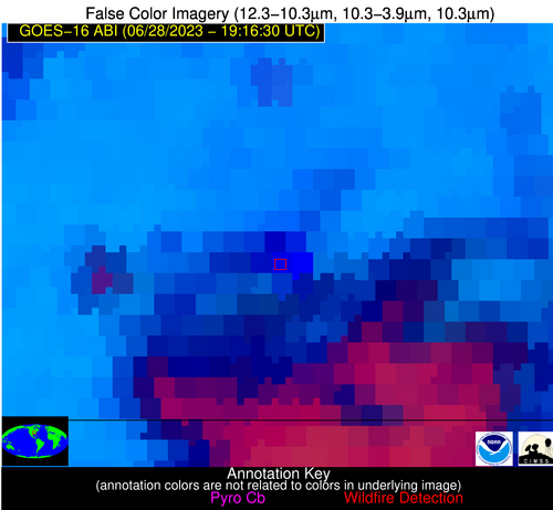
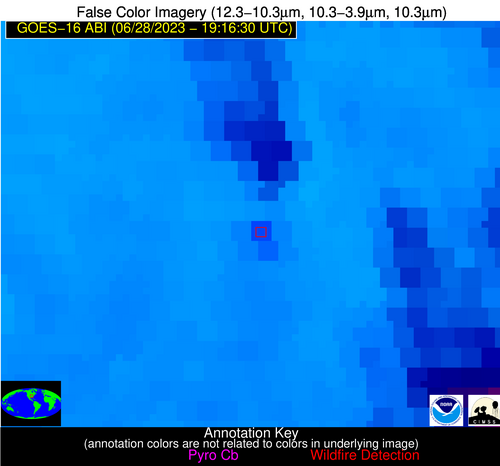
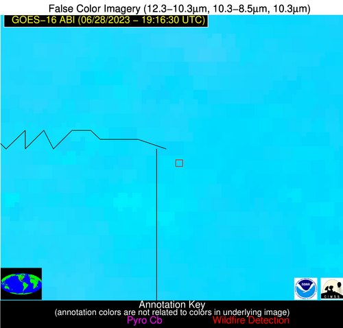
Wildfire Alert Report
| Date: | 2023-06-28 |
|---|---|
| Time: | 19:16:30 |
| Production Date and Time: | 2023-06-28 19:20:51 UTC |
| Primary Instrument: | GOES-16 ABI |
| Wmo Spacecraft Id: | 152 |
| Location/orbit: | GEO |
| L1 File: | OR_ABI-L1b-RadC-M6C14_G16_s20231791916176_e20231791918549_c20231791919042.nc |
| L1 File(s) - Temporal | OR_ABI-L1b-RadC-M6C14_G16_s20231791911176_e20231791913549_c20231791914034.nc |
| Number Of Thermal Anomaly Alerts: | 3 |
Possible Wildfire
| Basic Information | |
|---|---|
| State/Province(s) | KY |
| Country/Countries | USA |
| County/Locality(s) | Graves County, KY |
| NWS WFO | Paducah KY |
| Identification Method | Enhanced Contextual (Cloud) |
| Mean Object Date/Time | 2023-06-28 19:16:51UTC |
| Radiative Center (Lat, Lon): | 36.690000°, -88.660000° |
| Nearby Counties (meeting alert criteria): |
|
| Total Radiative Power Anomaly | n/a |
| Total Radiative Power | 465.00 MW |
| Map: | |
| Additional Information | |
| Alert Status | New Feature |
| Type of Event | Nominal Risk |
| Event Priority Ranking | 4 |
| Maximum Observed BT (3.9 um) | 332.95 K |
| Observed - Background BT (3.9 um) | 28.40 K |
| BT Anomaly (3.9 um) | 15.02 K |
| Maximum Observed - Clear RTM BT (3.9 um) | 34.36 K |
| Maximum Observed BTD (3.9-10/11/12 um) | 52.12 K |
| Observed - Background BTD (3.9-10/11/12 um) | 29.25 K |
| BTD Anomaly (3.9-10/11/12 um) | 11.77 K |
| Similar Pixel Count | 0 |
| BT Time Tendency (3.9 um) | 27.90 K |
| Image Interval | 5.00 minutes |
| Fraction of Surrounding LWIR Pixels that are Colder | 0.55 |
| Fraction of Surrounding Red Channel Pixels that are Brighter | 0.88 |
| Maximum Radiative Power | 214.38 MW |
| Maximum Radiative Power Uncertainty | 0.00 MW |
| Total Radiative Power Uncertainty | 0.00 MW |
| Mean Viewing Angle | 45.10° |
| Mean Solar Zenith Angle | 21.60° |
| Mean Glint Angle | 52.60° |
| Water Fraction | 0.00 |
| Total Pixel Area | 25.30 km2 |
| Latest Satellite Imagery: | |
| View all event imagery » | |
Possible Wildfire
| Basic Information | |
|---|---|
| State/Province(s) | AR |
| Country/Countries | USA |
| County/Locality(s) | Jackson County, AR |
| NWS WFO | Little Rock AR |
| Identification Method | Enhanced Contextual (Clear) |
| Mean Object Date/Time | 2023-06-28 19:17:21UTC |
| Radiative Center (Lat, Lon): | 35.590000°, -91.060000° |
| Nearby Counties (meeting alert criteria): |
|
| Total Radiative Power Anomaly | n/a |
| Total Radiative Power | 55.33 MW |
| Map: | |
| Additional Information | |
| Alert Status | New Feature |
| Type of Event | Nominal Risk |
| Event Priority Ranking | 4 |
| Maximum Observed BT (3.9 um) | 317.05 K |
| Observed - Background BT (3.9 um) | 10.11 K |
| BT Anomaly (3.9 um) | 4.94 K |
| Maximum Observed - Clear RTM BT (3.9 um) | 14.85 K |
| Maximum Observed BTD (3.9-10/11/12 um) | 27.07 K |
| Observed - Background BTD (3.9-10/11/12 um) | 10.47 K |
| BTD Anomaly (3.9-10/11/12 um) | 7.39 K |
| Similar Pixel Count | 10 |
| BT Time Tendency (3.9 um) | 9.00 K |
| Image Interval | 5.00 minutes |
| Fraction of Surrounding LWIR Pixels that are Colder | 0.52 |
| Fraction of Surrounding Red Channel Pixels that are Brighter | 1.00 |
| Maximum Radiative Power | 55.33 MW |
| Maximum Radiative Power Uncertainty | 0.00 MW |
| Total Radiative Power Uncertainty | 0.00 MW |
| Mean Viewing Angle | 44.80° |
| Mean Solar Zenith Angle | 19.40° |
| Mean Glint Angle | 50.60° |
| Water Fraction | 0.00 |
| Total Pixel Area | 6.30 km2 |
| Latest Satellite Imagery: | |
| View all event imagery » | |
Possible Wildfire
| Basic Information | |
|---|---|
| State/Province(s) | AR |
| Country/Countries | USA |
| County/Locality(s) | Miller County, AR |
| NWS WFO | Shreveport LA |
| Identification Method | Enhanced Contextual (Clear) |
| Mean Object Date/Time | 2023-06-28 19:17:20UTC |
| Radiative Center (Lat, Lon): | 33.520000°, -94.010000° |
| Nearby Counties (meeting alert criteria): |
|
| Total Radiative Power Anomaly | n/a |
| Total Radiative Power | 9.64 MW |
| Map: | |
| Additional Information | |
| Alert Status | New Feature |
| Type of Event | Nominal Risk |
| Event Priority Ranking | 4 |
| Maximum Observed BT (3.9 um) | 313.82 K |
| Observed - Background BT (3.9 um) | 5.05 K |
| BT Anomaly (3.9 um) | 2.48 K |
| Maximum Observed - Clear RTM BT (3.9 um) | 9.59 K |
| Maximum Observed BTD (3.9-10/11/12 um) | 14.20 K |
| Observed - Background BTD (3.9-10/11/12 um) | 4.09 K |
| BTD Anomaly (3.9-10/11/12 um) | 2.51 K |
| Similar Pixel Count | 20 |
| BT Time Tendency (3.9 um) | 0.10 K |
| Image Interval | 5.00 minutes |
| Fraction of Surrounding LWIR Pixels that are Colder | 0.91 |
| Fraction of Surrounding Red Channel Pixels that are Brighter | 1.00 |
| Maximum Radiative Power | 9.64 MW |
| Maximum Radiative Power Uncertainty | 0.00 MW |
| Total Radiative Power Uncertainty | 0.00 MW |
| Mean Viewing Angle | 44.10° |
| Mean Solar Zenith Angle | 16.20° |
| Mean Glint Angle | 47.30° |
| Water Fraction | 0.00 |
| Total Pixel Area | 6.30 km2 |
| Latest Satellite Imagery: | |
| View all event imagery » | |


