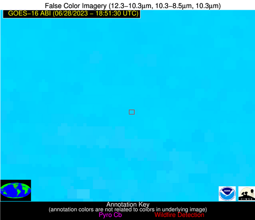
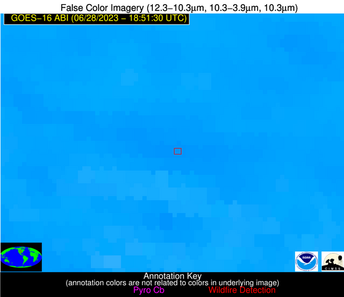
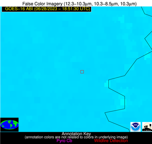
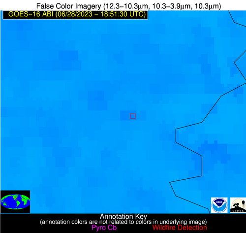
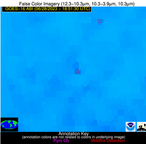
Wildfire Alert Report
| Date: | 2023-06-28 |
|---|---|
| Time: | 18:51:30 |
| Production Date and Time: | 2023-06-28 18:55:59 UTC |
| Primary Instrument: | GOES-16 ABI |
| Wmo Spacecraft Id: | 152 |
| Location/orbit: | GEO |
| L1 File: | OR_ABI-L1b-RadC-M6C14_G16_s20231791851176_e20231791853548_c20231791854041.nc |
| L1 File(s) - Temporal | OR_ABI-L1b-RadC-M6C14_G16_s20231791846176_e20231791848548_c20231791849034.nc |
| Number Of Thermal Anomaly Alerts: | 4 |
Possible Wildfire
| Basic Information | |
|---|---|
| State/Province(s) | NE |
| Country/Countries | USA |
| County/Locality(s) | Dawson County, NE |
| NWS WFO | Hastings NE |
| Identification Method | Enhanced Contextual (Clear) |
| Mean Object Date/Time | 2023-06-28 18:51:50UTC |
| Radiative Center (Lat, Lon): | 40.920000°, -99.720000° |
| Nearby Counties (meeting alert criteria): |
|
| Total Radiative Power Anomaly | n/a |
| Total Radiative Power | 2.16 MW |
| Map: | |
| Additional Information | |
| Alert Status | New Feature |
| Type of Event | Nominal Risk |
| Event Priority Ranking | 4 |
| Maximum Observed BT (3.9 um) | 312.31 K |
| Observed - Background BT (3.9 um) | 4.46 K |
| BT Anomaly (3.9 um) | 3.50 K |
| Maximum Observed - Clear RTM BT (3.9 um) | 12.58 K |
| Maximum Observed BTD (3.9-10/11/12 um) | 15.83 K |
| Observed - Background BTD (3.9-10/11/12 um) | 3.03 K |
| BTD Anomaly (3.9-10/11/12 um) | 3.68 K |
| Similar Pixel Count | 24 |
| BT Time Tendency (3.9 um) | 0.20 K |
| Image Interval | 5.00 minutes |
| Fraction of Surrounding LWIR Pixels that are Colder | 1.00 |
| Fraction of Surrounding Red Channel Pixels that are Brighter | 1.00 |
| Maximum Radiative Power | 2.16 MW |
| Maximum Radiative Power Uncertainty | 0.00 MW |
| Total Radiative Power Uncertainty | 0.00 MW |
| Mean Viewing Angle | 53.80° |
| Mean Solar Zenith Angle | 17.70° |
| Mean Glint Angle | 67.60° |
| Water Fraction | 0.00 |
| Total Pixel Area | 8.30 km2 |
| Latest Satellite Imagery: | |
| View all event imagery » | |
Possible Wildfire
| Basic Information | |
|---|---|
| State/Province(s) | AR |
| Country/Countries | USA |
| County/Locality(s) | Desha County, AR |
| NWS WFO | Little Rock AR |
| Identification Method | Enhanced Contextual (Clear) |
| Mean Object Date/Time | 2023-06-28 18:52:21UTC |
| Radiative Center (Lat, Lon): | 33.730000°, -91.330000° |
| Nearby Counties (meeting alert criteria): |
|
| Total Radiative Power Anomaly | n/a |
| Total Radiative Power | 8.73 MW |
| Map: | |
| Additional Information | |
| Alert Status | New Feature |
| Type of Event | Likely a Cropland Effect |
| Event Priority Ranking | 5 |
| Maximum Observed BT (3.9 um) | 311.25 K |
| Observed - Background BT (3.9 um) | 4.53 K |
| BT Anomaly (3.9 um) | 3.20 K |
| Maximum Observed - Clear RTM BT (3.9 um) | 7.43 K |
| Maximum Observed BTD (3.9-10/11/12 um) | 18.48 K |
| Observed - Background BTD (3.9-10/11/12 um) | 3.80 K |
| BTD Anomaly (3.9-10/11/12 um) | 3.08 K |
| Similar Pixel Count | 25 |
| BT Time Tendency (3.9 um) | 1.00 K |
| Image Interval | 5.00 minutes |
| Fraction of Surrounding LWIR Pixels that are Colder | 0.99 |
| Fraction of Surrounding Red Channel Pixels that are Brighter | 1.00 |
| Maximum Radiative Power | 4.65 MW |
| Maximum Radiative Power Uncertainty | 0.00 MW |
| Total Radiative Power Uncertainty | 0.00 MW |
| Mean Viewing Angle | 43.10° |
| Mean Solar Zenith Angle | 14.10° |
| Mean Glint Angle | 48.70° |
| Water Fraction | 0.00 |
| Total Pixel Area | 12.20 km2 |
| Latest Satellite Imagery: | |
| View all event imagery » | |
Possible Wildfire
| Basic Information | |
|---|---|
| State/Province(s) | LA |
| Country/Countries | USA |
| County/Locality(s) | Allen Parish, LA |
| NWS WFO | Lake Charles LA |
| Identification Method | Enhanced Contextual (Clear) |
| Mean Object Date/Time | 2023-06-28 18:52:20UTC |
| Radiative Center (Lat, Lon): | 30.820000°, -92.780000° |
| Nearby Counties (meeting alert criteria): |
|
| Total Radiative Power Anomaly | n/a |
| Total Radiative Power | 27.02 MW |
| Map: | |
| Additional Information | |
| Alert Status | New Feature |
| Type of Event | Nominal Risk |
| Event Priority Ranking | 4 |
| Maximum Observed BT (3.9 um) | 313.09 K |
| Observed - Background BT (3.9 um) | 5.34 K |
| BT Anomaly (3.9 um) | 4.50 K |
| Maximum Observed - Clear RTM BT (3.9 um) | 5.68 K |
| Maximum Observed BTD (3.9-10/11/12 um) | 18.91 K |
| Observed - Background BTD (3.9-10/11/12 um) | 5.37 K |
| BTD Anomaly (3.9-10/11/12 um) | 4.97 K |
| Similar Pixel Count | 18 |
| BT Time Tendency (3.9 um) | 2.30 K |
| Image Interval | 5.00 minutes |
| Fraction of Surrounding LWIR Pixels that are Colder | 0.46 |
| Fraction of Surrounding Red Channel Pixels that are Brighter | 0.98 |
| Maximum Radiative Power | 27.02 MW |
| Maximum Radiative Power Uncertainty | 0.00 MW |
| Total Radiative Power Uncertainty | 0.00 MW |
| Mean Viewing Angle | 40.90° |
| Mean Solar Zenith Angle | 11.20° |
| Mean Glint Angle | 43.60° |
| Water Fraction | 0.00 |
| Total Pixel Area | 5.90 km2 |
| Latest Satellite Imagery: | |
| View all event imagery » | |
Possible Wildfire
| Basic Information | |
|---|---|
| State/Province(s) | FL |
| Country/Countries | USA |
| County/Locality(s) | Baker County, FL |
| NWS WFO | Jacksonville FL |
| Identification Method | Enhanced Contextual (Clear) |
| Mean Object Date/Time | 2023-06-28 18:52:22UTC |
| Radiative Center (Lat, Lon): | 30.220000°, -82.250000° |
| Nearby Counties (meeting alert criteria): |
|
| Total Radiative Power Anomaly | n/a |
| Total Radiative Power | 31.62 MW |
| Map: | |
| Additional Information | |
| Alert Status | New Feature |
| Type of Event | Nominal Risk |
| Event Priority Ranking | 4 |
| Maximum Observed BT (3.9 um) | 314.86 K |
| Observed - Background BT (3.9 um) | 7.84 K |
| BT Anomaly (3.9 um) | 5.01 K |
| Maximum Observed - Clear RTM BT (3.9 um) | 9.44 K |
| Maximum Observed BTD (3.9-10/11/12 um) | 19.11 K |
| Observed - Background BTD (3.9-10/11/12 um) | 7.33 K |
| BTD Anomaly (3.9-10/11/12 um) | 5.85 K |
| Similar Pixel Count | 10 |
| BT Time Tendency (3.9 um) | 8.80 K |
| Image Interval | 5.00 minutes |
| Fraction of Surrounding LWIR Pixels that are Colder | 0.76 |
| Fraction of Surrounding Red Channel Pixels that are Brighter | 0.56 |
| Maximum Radiative Power | 31.62 MW |
| Maximum Radiative Power Uncertainty | 0.00 MW |
| Total Radiative Power Uncertainty | 0.00 MW |
| Mean Viewing Angle | 36.20° |
| Mean Solar Zenith Angle | 19.00° |
| Mean Glint Angle | 41.00° |
| Water Fraction | 0.00 |
| Total Pixel Area | 5.30 km2 |
| Latest Satellite Imagery: | |
| View all event imagery » | |
