Wildfire Alert Report
| Date: | 2023-06-16 |
|---|---|
| Time: | 20:51:30 |
| Production Date and Time: | 2023-06-16 20:55:36 UTC |
| Primary Instrument: | GOES-16 ABI |
| Wmo Spacecraft Id: | 152 |
| Location/orbit: | GEO |
| L1 File: | OR_ABI-L1b-RadC-M6C14_G16_s20231672051178_e20231672053551_c20231672054001.nc |
| L1 File(s) - Temporal | OR_ABI-L1b-RadC-M6C14_G16_s20231672046178_e20231672048551_c20231672049064.nc |
| Number Of Thermal Anomaly Alerts: | 3 |
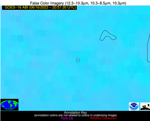
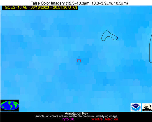
Possible Wildfire
| Basic Information | |
|---|---|
| State/Province(s) | MN |
| Country/Countries | USA |
| County/Locality(s) | Isanti County, MN |
| NWS WFO | Twin Cities/Chanhassen MN |
| Identification Method | Enhanced Contextual (Clear) |
| Mean Object Date/Time | 2023-06-16 20:51:21UTC |
| Radiative Center (Lat, Lon): | 45.570000°, -93.210000° |
| Nearby Counties (meeting alert criteria): |
|
| Total Radiative Power Anomaly | n/a |
| Total Radiative Power | 7.39 MW |
| Map: | |
| Additional Information | |
| Alert Status | New Feature |
| Type of Event | Nominal Risk, Known Incident: NORTH RUM FIRE (LOW, tdiff=2.82671 days, PERIMETER) |
| Event Priority Ranking | 4 |
| Maximum Observed BT (3.9 um) | 305.15 K |
| Observed - Background BT (3.9 um) | 3.65 K |
| BT Anomaly (3.9 um) | 2.21 K |
| Maximum Observed - Clear RTM BT (3.9 um) | 12.02 K |
| Maximum Observed BTD (3.9-10/11/12 um) | 11.11 K |
| Observed - Background BTD (3.9-10/11/12 um) | 3.07 K |
| BTD Anomaly (3.9-10/11/12 um) | 3.83 K |
| Similar Pixel Count | 21 |
| BT Time Tendency (3.9 um) | 0.30 K |
| Image Interval | 5.00 minutes |
| Fraction of Surrounding LWIR Pixels that are Colder | 0.62 |
| Fraction of Surrounding Red Channel Pixels that are Brighter | 1.00 |
| Maximum Radiative Power | 7.39 MW |
| Maximum Radiative Power Uncertainty | 0.00 MW |
| Total Radiative Power Uncertainty | 0.00 MW |
| Mean Viewing Angle | 55.70° |
| Mean Solar Zenith Angle | 38.90° |
| Mean Glint Angle | 62.10° |
| Water Fraction | 0.00 |
| Total Pixel Area | 8.50 km2 |
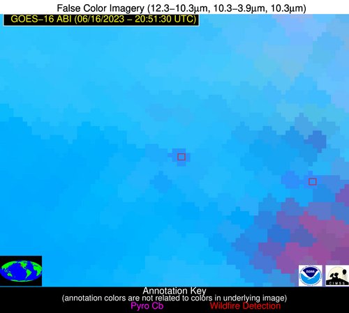
| Latest Satellite Imagery: | |
| View all event imagery » | |
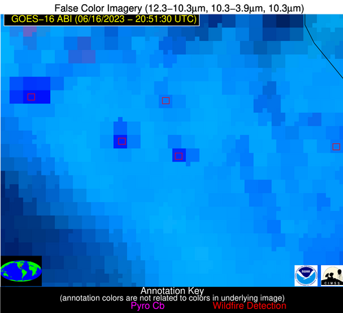
Possible Wildfire
| Basic Information | |
|---|---|
| State/Province(s) | MO |
| Country/Countries | USA |
| County/Locality(s) | Scott County, MO |
| NWS WFO | Paducah KY |
| Identification Method | Enhanced Contextual (Cloud) |
| Mean Object Date/Time | 2023-06-16 20:51:51UTC |
| Radiative Center (Lat, Lon): | 36.970000°, -89.700000° |
| Nearby Counties (meeting alert criteria): |
|
| Total Radiative Power Anomaly | n/a |
| Total Radiative Power | 97.38 MW |
| Map: | |
| Additional Information | |
| Alert Status | New Feature |
| Type of Event | Nominal Risk |
| Event Priority Ranking | 4 |
| Maximum Observed BT (3.9 um) | 325.35 K |
| Observed - Background BT (3.9 um) | 16.27 K |
| BT Anomaly (3.9 um) | 5.68 K |
| Maximum Observed - Clear RTM BT (3.9 um) | 25.99 K |
| Maximum Observed BTD (3.9-10/11/12 um) | 29.77 K |
| Observed - Background BTD (3.9-10/11/12 um) | 15.97 K |
| BTD Anomaly (3.9-10/11/12 um) | 6.55 K |
| Similar Pixel Count | 0 |
| BT Time Tendency (3.9 um) | 15.90 K |
| Image Interval | 5.00 minutes |
| Fraction of Surrounding LWIR Pixels that are Colder | 0.74 |
| Fraction of Surrounding Red Channel Pixels that are Brighter | 1.00 |
| Maximum Radiative Power | 97.38 MW |
| Maximum Radiative Power Uncertainty | 0.00 MW |
| Total Radiative Power Uncertainty | 0.00 MW |
| Mean Viewing Angle | 45.70° |
| Mean Solar Zenith Angle | 39.30° |
| Mean Glint Angle | 48.70° |
| Water Fraction | 0.00 |
| Total Pixel Area | 6.40 km2 |
| Latest Satellite Imagery: | |
| View all event imagery » | |
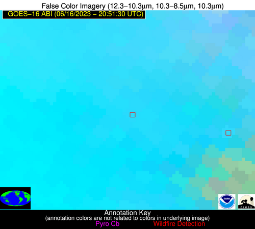
Possible Wildfire
| Basic Information | |
|---|---|
| State/Province(s) | CA |
| Country/Countries | USA |
| County/Locality(s) | Calaveras County, CA |
| NWS WFO | Sacramento CA |
| Identification Method | Enhanced Contextual (Clear) |
| Mean Object Date/Time | 2023-06-16 20:51:48UTC |
| Radiative Center (Lat, Lon): | 38.280000°, -120.310000° |
| Nearby Counties (meeting alert criteria): |
|
| Total Radiative Power Anomaly | n/a |
| Total Radiative Power | 27.42 MW |
| Map: | |
| Additional Information | |
| Alert Status | New Feature |
| Type of Event | Nominal Risk |
| Event Priority Ranking | 4 |
| Maximum Observed BT (3.9 um) | 302.43 K |
| Observed - Background BT (3.9 um) | 4.52 K |
| BT Anomaly (3.9 um) | 2.28 K |
| Maximum Observed - Clear RTM BT (3.9 um) | 9.04 K |
| Maximum Observed BTD (3.9-10/11/12 um) | 13.26 K |
| Observed - Background BTD (3.9-10/11/12 um) | 4.56 K |
| BTD Anomaly (3.9-10/11/12 um) | 2.20 K |
| Similar Pixel Count | 11 |
| BT Time Tendency (3.9 um) | 2.20 K |
| Image Interval | 5.00 minutes |
| Fraction of Surrounding LWIR Pixels that are Colder | 0.45 |
| Fraction of Surrounding Red Channel Pixels that are Brighter | 1.00 |
| Maximum Radiative Power | 27.42 MW |
| Maximum Radiative Power Uncertainty | 0.00 MW |
| Total Radiative Power Uncertainty | 0.00 MW |
| Mean Viewing Angle | 64.60° |
| Mean Solar Zenith Angle | 18.40° |
| Mean Glint Angle | 63.70° |
| Water Fraction | 0.00 |
| Total Pixel Area | 15.00 km2 |
| Latest Satellite Imagery: | |
| View all event imagery » | |
