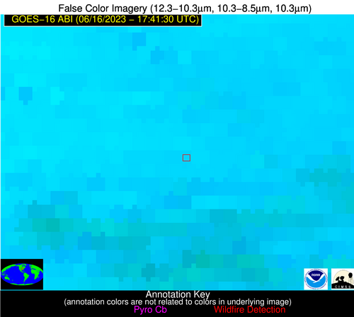
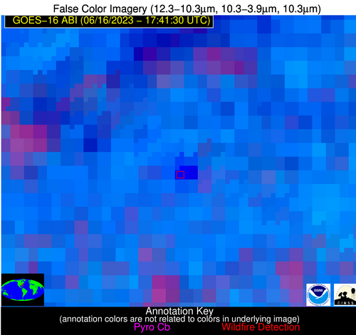
Wildfire Alert Report
| Date: | 2023-06-16 |
|---|---|
| Time: | 17:41:30 |
| Production Date and Time: | 2023-06-16 17:45:37 UTC |
| Primary Instrument: | GOES-16 ABI |
| Wmo Spacecraft Id: | 152 |
| Location/orbit: | GEO |
| L1 File: | OR_ABI-L1b-RadC-M6C14_G16_s20231671741178_e20231671743551_c20231671744044.nc |
| L1 File(s) - Temporal | OR_ABI-L1b-RadC-M6C14_G16_s20231671736178_e20231671738551_c20231671739051.nc |
| Number Of Thermal Anomaly Alerts: | 3 |
Possible Wildfire
| Basic Information | |
|---|---|
| State/Province(s) | MO |
| Country/Countries | USA |
| County/Locality(s) | Moniteau County, MO |
| NWS WFO | St Louis MO |
| Identification Method | Enhanced Contextual (Clear) |
| Mean Object Date/Time | 2023-06-16 17:41:51UTC |
| Radiative Center (Lat, Lon): | 38.700000°, -92.460000° |
| Nearby Counties (meeting alert criteria): |
|
| Total Radiative Power Anomaly | n/a |
| Total Radiative Power | 17.34 MW |
| Map: | |
| Additional Information | |
| Alert Status | New Feature |
| Type of Event | Nominal Risk |
| Event Priority Ranking | 4 |
| Maximum Observed BT (3.9 um) | 313.12 K |
| Observed - Background BT (3.9 um) | 6.22 K |
| BT Anomaly (3.9 um) | 2.59 K |
| Maximum Observed - Clear RTM BT (3.9 um) | 13.81 K |
| Maximum Observed BTD (3.9-10/11/12 um) | 22.36 K |
| Observed - Background BTD (3.9-10/11/12 um) | 5.97 K |
| BTD Anomaly (3.9-10/11/12 um) | 2.74 K |
| Similar Pixel Count | 18 |
| BT Time Tendency (3.9 um) | 2.60 K |
| Image Interval | 5.00 minutes |
| Fraction of Surrounding LWIR Pixels that are Colder | 0.84 |
| Fraction of Surrounding Red Channel Pixels that are Brighter | 1.00 |
| Maximum Radiative Power | 17.34 MW |
| Maximum Radiative Power Uncertainty | 0.00 MW |
| Total Radiative Power Uncertainty | 0.00 MW |
| Mean Viewing Angle | 48.50° |
| Mean Solar Zenith Angle | 16.50° |
| Mean Glint Angle | 65.00° |
| Water Fraction | 0.00 |
| Total Pixel Area | 6.90 km2 |
| Latest Satellite Imagery: | |
| View all event imagery » | |
Possible Wildfire
| Basic Information | |
|---|---|
| State/Province(s) | CO |
| Country/Countries | USA |
| County/Locality(s) | Las Animas County, CO |
| NWS WFO | Pueblo CO |
| Identification Method | Enhanced Contextual (Clear) |
| Mean Object Date/Time | 2023-06-16 17:41:49UTC |
| Radiative Center (Lat, Lon): | 37.150000°, -103.330000° |
| Nearby Counties (meeting alert criteria): |
|
| Total Radiative Power Anomaly | n/a |
| Total Radiative Power | 14.77 MW |
| Map: | |
| Additional Information | |
| Alert Status | New Feature |
| Type of Event | Nominal Risk |
| Event Priority Ranking | 4 |
| Maximum Observed BT (3.9 um) | 309.54 K |
| Observed - Background BT (3.9 um) | 1.99 K |
| BT Anomaly (3.9 um) | 1.34 K |
| Maximum Observed - Clear RTM BT (3.9 um) | 7.50 K |
| Maximum Observed BTD (3.9-10/11/12 um) | 14.17 K |
| Observed - Background BTD (3.9-10/11/12 um) | 2.73 K |
| BTD Anomaly (3.9-10/11/12 um) | 3.70 K |
| Similar Pixel Count | 25 |
| BT Time Tendency (3.9 um) | 3.70 K |
| Image Interval | 5.00 minutes |
| Fraction of Surrounding LWIR Pixels that are Colder | 0.16 |
| Fraction of Surrounding Red Channel Pixels that are Brighter | 1.00 |
| Maximum Radiative Power | 14.77 MW |
| Maximum Radiative Power Uncertainty | 0.00 MW |
| Total Radiative Power Uncertainty | 0.00 MW |
| Mean Viewing Angle | 52.50° |
| Mean Solar Zenith Angle | 20.70° |
| Mean Glint Angle | 72.90° |
| Water Fraction | 0.00 |
| Total Pixel Area | 8.10 km2 |
| Latest Satellite Imagery: | |
| View all event imagery » | |
Possible Wildfire
| Basic Information | |
|---|---|
| State/Province(s) | NC |
| Country/Countries | USA |
| County/Locality(s) | Lenoir County, NC |
| NWS WFO | Newport/Morehead City NC |
| Identification Method | Enhanced Contextual (Cloud) |
| Mean Object Date/Time | 2023-06-16 17:42:22UTC |
| Radiative Center (Lat, Lon): | 35.240000°, -77.530000° |
| Nearby Counties (meeting alert criteria): |
|
| Total Radiative Power Anomaly | n/a |
| Total Radiative Power | 311.55 MW |
| Map: | |
| Additional Information | |
| Alert Status | New Feature |
| Type of Event | Nominal Risk |
| Event Priority Ranking | 4 |
| Maximum Observed BT (3.9 um) | 328.19 K |
| Observed - Background BT (3.9 um) | 22.26 K |
| BT Anomaly (3.9 um) | 19.91 K |
| Maximum Observed - Clear RTM BT (3.9 um) | 27.57 K |
| Maximum Observed BTD (3.9-10/11/12 um) | 38.99 K |
| Observed - Background BTD (3.9-10/11/12 um) | 20.74 K |
| BTD Anomaly (3.9-10/11/12 um) | 19.21 K |
| Similar Pixel Count | 0 |
| BT Time Tendency (3.9 um) | 19.50 K |
| Image Interval | 5.00 minutes |
| Fraction of Surrounding LWIR Pixels that are Colder | 1.00 |
| Fraction of Surrounding Red Channel Pixels that are Brighter | 0.98 |
| Maximum Radiative Power | 157.83 MW |
| Maximum Radiative Power Uncertainty | 0.00 MW |
| Total Radiative Power Uncertainty | 0.00 MW |
| Mean Viewing Angle | 41.20° |
| Mean Solar Zenith Angle | 13.70° |
| Mean Glint Angle | 52.80° |
| Water Fraction | 0.00 |
| Total Pixel Area | 17.20 km2 |
| Latest Satellite Imagery: | |
| View all event imagery » | |


