Wildfire Alert Report
| Date: | 2023-06-13 |
|---|---|
| Time: | 17:16:30 |
| Production Date and Time: | 2023-06-13 17:20:24 UTC |
| Primary Instrument: | GOES-16 ABI |
| Wmo Spacecraft Id: | 152 |
| Location/orbit: | GEO |
| L1 File: | OR_ABI-L1b-RadC-M6C14_G16_s20231641716174_e20231641718547_c20231641719036.nc |
| L1 File(s) - Temporal | OR_ABI-L1b-RadC-M6C14_G16_s20231641711174_e20231641713547_c20231641714036.nc |
| Number Of Thermal Anomaly Alerts: | 3 |
Possible Wildfire
| Basic Information | |
|---|---|
| State/Province(s) | GA |
| Country/Countries | USA |
| County/Locality(s) | Telfair County, GA |
| NWS WFO | Peachtree City GA |
| Identification Method | Enhanced Contextual (Cloud) |
| Mean Object Date/Time | 2023-06-13 17:17:22UTC |
| Radiative Center (Lat, Lon): | 31.960000°, -83.030000° |
| Nearby Counties (meeting alert criteria): |
|
| Total Radiative Power Anomaly | n/a |
| Total Radiative Power | 70.88 MW |
| Map: | |
| Additional Information | |
| Alert Status | New Feature |
| Type of Event | Nominal Risk |
| Event Priority Ranking | 4 |
| Maximum Observed BT (3.9 um) | 316.73 K |
| Observed - Background BT (3.9 um) | 11.61 K |
| BT Anomaly (3.9 um) | 13.54 K |
| Maximum Observed - Clear RTM BT (3.9 um) | 15.13 K |
| Maximum Observed BTD (3.9-10/11/12 um) | 28.74 K |
| Observed - Background BTD (3.9-10/11/12 um) | 11.91 K |
| BTD Anomaly (3.9-10/11/12 um) | 8.70 K |
| Similar Pixel Count | 0 |
| BT Time Tendency (3.9 um) | 10.00 K |
| Image Interval | 5.00 minutes |
| Fraction of Surrounding LWIR Pixels that are Colder | 0.38 |
| Fraction of Surrounding Red Channel Pixels that are Brighter | 0.64 |
| Maximum Radiative Power | 70.88 MW |
| Maximum Radiative Power Uncertainty | 0.00 MW |
| Total Radiative Power Uncertainty | 0.00 MW |
| Mean Viewing Angle | 38.30° |
| Mean Solar Zenith Angle | 9.40° |
| Mean Glint Angle | 47.70° |
| Water Fraction | 0.00 |
| Total Pixel Area | 5.50 km2 |
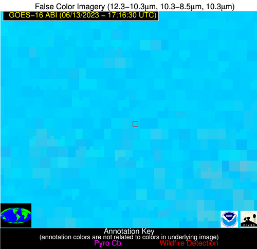
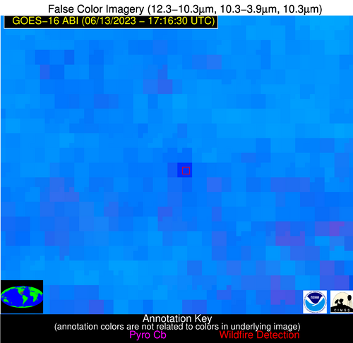
| Latest Satellite Imagery: | |
| View all event imagery » | |
Possible Wildfire
| Basic Information | |
|---|---|
| State/Province(s) | FL |
| Country/Countries | USA |
| County/Locality(s) | Sarasota County, FL |
| NWS WFO | Tampa Bay Ruskin FL |
| Identification Method | Enhanced Contextual (Clear) |
| Mean Object Date/Time | 2023-06-13 17:17:52UTC |
| Radiative Center (Lat, Lon): | 27.180000°, -82.280000° |
| Nearby Counties (meeting alert criteria): |
|
| Total Radiative Power Anomaly | n/a |
| Total Radiative Power | 30.94 MW |
| Map: | |
| Additional Information | |
| Alert Status | New Feature |
| Type of Event | Nominal Risk |
| Event Priority Ranking | 4 |
| Maximum Observed BT (3.9 um) | 320.54 K |
| Observed - Background BT (3.9 um) | 7.58 K |
| BT Anomaly (3.9 um) | 3.86 K |
| Maximum Observed - Clear RTM BT (3.9 um) | 13.32 K |
| Maximum Observed BTD (3.9-10/11/12 um) | 24.76 K |
| Observed - Background BTD (3.9-10/11/12 um) | 7.27 K |
| BTD Anomaly (3.9-10/11/12 um) | 4.96 K |
| Similar Pixel Count | 20 |
| BT Time Tendency (3.9 um) | 3.20 K |
| Image Interval | 5.00 minutes |
| Fraction of Surrounding LWIR Pixels that are Colder | 0.70 |
| Fraction of Surrounding Red Channel Pixels that are Brighter | 0.94 |
| Maximum Radiative Power | 30.94 MW |
| Maximum Radiative Power Uncertainty | 0.00 MW |
| Total Radiative Power Uncertainty | 0.00 MW |
| Mean Viewing Angle | 32.80° |
| Mean Solar Zenith Angle | 4.90° |
| Mean Glint Angle | 37.40° |
| Water Fraction | 0.00 |
| Total Pixel Area | 5.00 km2 |
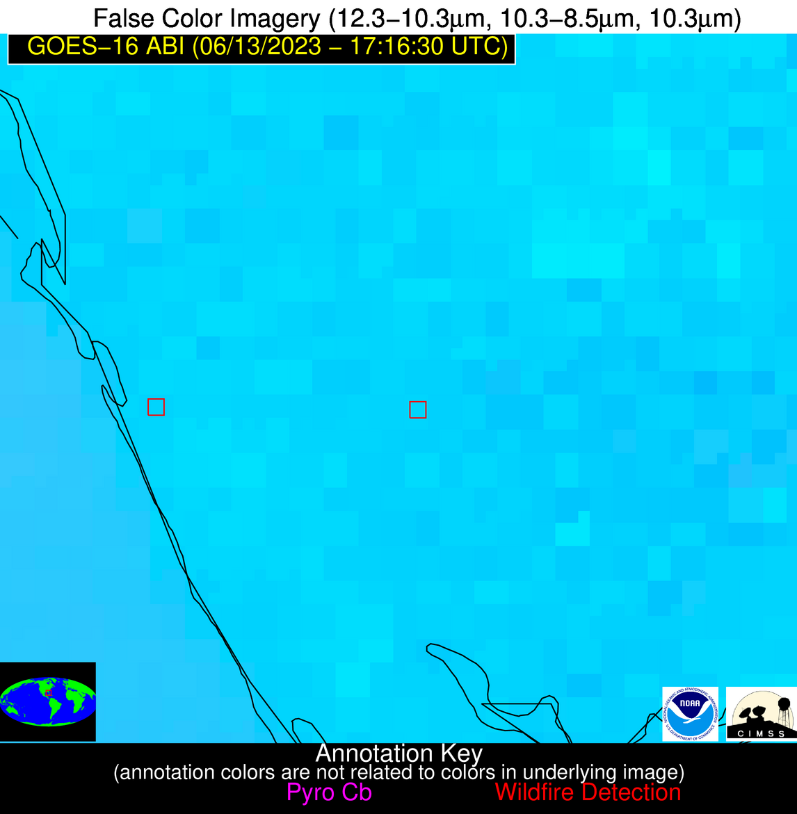
| Latest Satellite Imagery: | |
| View all event imagery » | |
Possible Wildfire
| Basic Information | |
|---|---|
| State/Province(s) | Unknown |
| Country/Countries | Mexico |
| County/Locality(s) | Mexico |
| NWS WFO | N/A |
| Identification Method | Enhanced Contextual (Cloud) |
| Mean Object Date/Time | 2023-06-13 17:17:48UTC |
| Radiative Center (Lat, Lon): | 26.470000°, -107.410000° |
| Nearby Counties (meeting alert criteria): |
|
| Total Radiative Power Anomaly | n/a |
| Total Radiative Power | 9.00 MW |
| Map: | |
| Additional Information | |
| Alert Status | New Feature |
| Type of Event | Nominal Risk |
| Event Priority Ranking | 4 |
| Maximum Observed BT (3.9 um) | 311.80 K |
| Observed - Background BT (3.9 um) | 2.79 K |
| BT Anomaly (3.9 um) | 1.35 K |
| Maximum Observed - Clear RTM BT (3.9 um) | 12.80 K |
| Maximum Observed BTD (3.9-10/11/12 um) | 15.10 K |
| Observed - Background BTD (3.9-10/11/12 um) | 3.31 K |
| BTD Anomaly (3.9-10/11/12 um) | 1.16 K |
| Similar Pixel Count | 0 |
| BT Time Tendency (3.9 um) | 0.90 K |
| Image Interval | 5.00 minutes |
| Fraction of Surrounding LWIR Pixels that are Colder | 0.17 |
| Fraction of Surrounding Red Channel Pixels that are Brighter | 0.51 |
| Maximum Radiative Power | 9.00 MW |
| Maximum Radiative Power Uncertainty | 0.00 MW |
| Total Radiative Power Uncertainty | 0.00 MW |
| Mean Viewing Angle | 47.40° |
| Mean Solar Zenith Angle | 25.80° |
| Mean Glint Angle | 69.80° |
| Water Fraction | 0.00 |
| Total Pixel Area | 7.00 km2 |
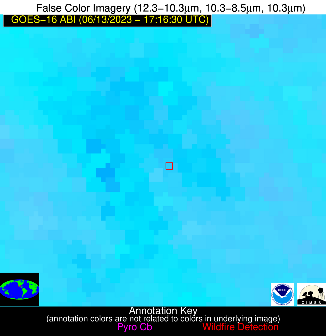
| Latest Satellite Imagery: | |
| View all event imagery » | |


