Wildfire Alert Report
| Date: | 2023-06-13 |
|---|---|
| Time: | 17:06:30 |
| Production Date and Time: | 2023-06-13 17:10:32 UTC |
| Primary Instrument: | GOES-16 ABI |
| Wmo Spacecraft Id: | 152 |
| Location/orbit: | GEO |
| L1 File: | OR_ABI-L1b-RadC-M6C14_G16_s20231641706174_e20231641708547_c20231641709022.nc |
| L1 File(s) - Temporal | OR_ABI-L1b-RadC-M6C14_G16_s20231641701174_e20231641703547_c20231641704010.nc |
| Number Of Thermal Anomaly Alerts: | 5 |
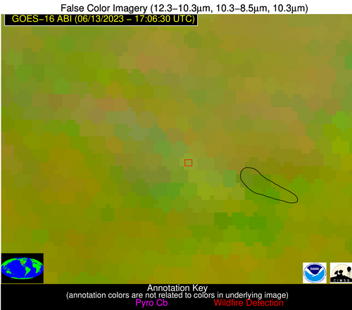
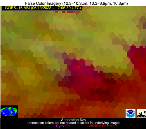
Possible Wildfire
| Basic Information | |
|---|---|
| State/Province(s) | CO |
| Country/Countries | USA |
| County/Locality(s) | Grand County, CO |
| NWS WFO | Denver CO |
| Identification Method | Enhanced Contextual (Cloud) |
| Mean Object Date/Time | 2023-06-13 17:06:49UTC |
| Radiative Center (Lat, Lon): | 40.190000°, -105.970000° |
| Nearby Counties (meeting alert criteria): |
|
| Total Radiative Power Anomaly | n/a |
| Total Radiative Power | 347.86 MW |
| Map: | |
| Additional Information | |
| Alert Status | New Feature |
| Type of Event | Nominal Risk |
| Event Priority Ranking | 4 |
| Maximum Observed BT (3.9 um) | 292.06 K |
| Observed - Background BT (3.9 um) | 29.21 K |
| BT Anomaly (3.9 um) | 13.51 K |
| Maximum Observed - Clear RTM BT (3.9 um) | 13.36 K |
| Maximum Observed BTD (3.9-10/11/12 um) | 41.36 K |
| Observed - Background BTD (3.9-10/11/12 um) | 28.83 K |
| BTD Anomaly (3.9-10/11/12 um) | 13.00 K |
| Similar Pixel Count | 0 |
| BT Time Tendency (3.9 um) | 9.60 K |
| Image Interval | 5.00 minutes |
| Fraction of Surrounding LWIR Pixels that are Colder | 0.88 |
| Fraction of Surrounding Red Channel Pixels that are Brighter | 0.75 |
| Maximum Radiative Power | 201.01 MW |
| Maximum Radiative Power Uncertainty | 0.00 MW |
| Total Radiative Power Uncertainty | 0.00 MW |
| Mean Viewing Angle | 56.60° |
| Mean Solar Zenith Angle | 30.00° |
| Mean Glint Angle | 84.90° |
| Water Fraction | 0.00 |
| Total Pixel Area | 18.90 km2 |
| Latest Satellite Imagery: | |
| View all event imagery » | |
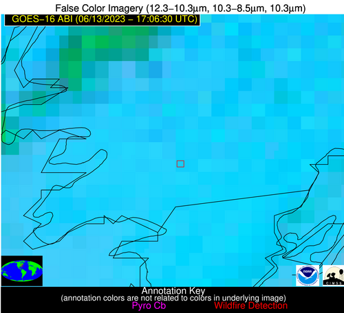
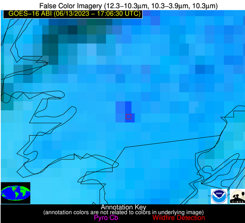
Possible Wildfire
| Basic Information | |
|---|---|
| State/Province(s) | MD |
| Country/Countries | USA |
| County/Locality(s) | Somerset County, MD |
| NWS WFO | Wakefield VA |
| Identification Method | Enhanced Contextual (Clear) |
| Mean Object Date/Time | 2023-06-13 17:06:52UTC |
| Radiative Center (Lat, Lon): | 38.080000°, -75.610000° |
| Nearby Counties (meeting alert criteria): |
|
| Total Radiative Power Anomaly | n/a |
| Total Radiative Power | 108.90 MW |
| Map: | |
| Additional Information | |
| Alert Status | New Feature |
| Type of Event | Nominal Risk |
| Event Priority Ranking | 4 |
| Maximum Observed BT (3.9 um) | 316.18 K |
| Observed - Background BT (3.9 um) | 15.09 K |
| BT Anomaly (3.9 um) | 12.21 K |
| Maximum Observed - Clear RTM BT (3.9 um) | 20.21 K |
| Maximum Observed BTD (3.9-10/11/12 um) | 23.20 K |
| Observed - Background BTD (3.9-10/11/12 um) | 13.95 K |
| BTD Anomaly (3.9-10/11/12 um) | 14.67 K |
| Similar Pixel Count | 3 |
| BT Time Tendency (3.9 um) | 9.50 K |
| Image Interval | 5.00 minutes |
| Fraction of Surrounding LWIR Pixels that are Colder | 1.00 |
| Fraction of Surrounding Red Channel Pixels that are Brighter | 0.17 |
| Maximum Radiative Power | 55.63 MW |
| Maximum Radiative Power Uncertainty | 0.00 MW |
| Total Radiative Power Uncertainty | 0.00 MW |
| Mean Viewing Angle | 44.30° |
| Mean Solar Zenith Angle | 14.90° |
| Mean Glint Angle | 59.30° |
| Water Fraction | 0.00 |
| Total Pixel Area | 12.20 km2 |
| Latest Satellite Imagery: | |
| View all event imagery » | |
Possible Wildfire
| Basic Information | |
|---|---|
| State/Province(s) | NC |
| Country/Countries | USA |
| County/Locality(s) | Lenoir County, NC |
| NWS WFO | Newport/Morehead City NC |
| Identification Method | Enhanced Contextual (Cloud) |
| Mean Object Date/Time | 2023-06-13 17:07:22UTC |
| Radiative Center (Lat, Lon): | 35.240000°, -77.730000° |
| Nearby Counties (meeting alert criteria): |
|
| Total Radiative Power Anomaly | n/a |
| Total Radiative Power | 402.94 MW |
| Map: | |
| Additional Information | |
| Alert Status | New Feature |
| Type of Event | Nominal Risk |
| Event Priority Ranking | 4 |
| Maximum Observed BT (3.9 um) | 337.78 K |
| Observed - Background BT (3.9 um) | 30.45 K |
| BT Anomaly (3.9 um) | 24.86 K |
| Maximum Observed - Clear RTM BT (3.9 um) | 37.97 K |
| Maximum Observed BTD (3.9-10/11/12 um) | 44.26 K |
| Observed - Background BTD (3.9-10/11/12 um) | 28.90 K |
| BTD Anomaly (3.9-10/11/12 um) | 20.39 K |
| Similar Pixel Count | 0 |
| BT Time Tendency (3.9 um) | 22.20 K |
| Image Interval | 5.00 minutes |
| Fraction of Surrounding LWIR Pixels that are Colder | 1.00 |
| Fraction of Surrounding Red Channel Pixels that are Brighter | 0.99 |
| Maximum Radiative Power | 189.44 MW |
| Maximum Radiative Power Uncertainty | 0.00 MW |
| Total Radiative Power Uncertainty | 0.00 MW |
| Mean Viewing Angle | 41.20° |
| Mean Solar Zenith Angle | 12.10° |
| Mean Glint Angle | 53.30° |
| Water Fraction | 0.00 |
| Total Pixel Area | 23.00 km2 |
| Latest Satellite Imagery: | |
| View all event imagery » | |
Possible Wildfire
| Basic Information | |
|---|---|
| State/Province(s) | FL |
| Country/Countries | USA |
| County/Locality(s) | Polk County, FL |
| NWS WFO | Tampa Bay Ruskin FL |
| Identification Method | Enhanced Contextual (Clear) |
| Mean Object Date/Time | 2023-06-13 17:07:52UTC |
| Radiative Center (Lat, Lon): | 27.670000°, -81.160000° |
| Nearby Counties (meeting alert criteria): |
|
| Total Radiative Power Anomaly | n/a |
| Total Radiative Power | 104.59 MW |
| Map: | |
| Additional Information | |
| Alert Status | New Feature |
| Type of Event | Nominal Risk |
| Event Priority Ranking | 4 |
| Maximum Observed BT (3.9 um) | 318.24 K |
| Observed - Background BT (3.9 um) | 8.41 K |
| BT Anomaly (3.9 um) | 5.29 K |
| Maximum Observed - Clear RTM BT (3.9 um) | 13.37 K |
| Maximum Observed BTD (3.9-10/11/12 um) | 23.75 K |
| Observed - Background BTD (3.9-10/11/12 um) | 8.15 K |
| BTD Anomaly (3.9-10/11/12 um) | 5.65 K |
| Similar Pixel Count | 11 |
| BT Time Tendency (3.9 um) | 5.40 K |
| Image Interval | 5.00 minutes |
| Fraction of Surrounding LWIR Pixels that are Colder | 0.63 |
| Fraction of Surrounding Red Channel Pixels that are Brighter | 1.00 |
| Maximum Radiative Power | 38.12 MW |
| Maximum Radiative Power Uncertainty | 0.00 MW |
| Total Radiative Power Uncertainty | 0.00 MW |
| Mean Viewing Angle | 33.10° |
| Mean Solar Zenith Angle | 6.00° |
| Mean Glint Angle | 38.40° |
| Water Fraction | 0.00 |
| Total Pixel Area | 15.20 km2 |
| Latest Satellite Imagery: | |
| View all event imagery » | |
Possible Wildfire
| Basic Information | |
|---|---|
| State/Province(s) | Unknown |
| Country/Countries | Mexico |
| County/Locality(s) | Mexico |
| NWS WFO | N/A |
| Identification Method | Enhanced Contextual (Clear) |
| Mean Object Date/Time | 2023-06-13 17:07:48UTC |
| Radiative Center (Lat, Lon): | 26.470000°, -107.410000° |
| Nearby Counties (meeting alert criteria): |
|
| Total Radiative Power Anomaly | n/a |
| Total Radiative Power | 1.18 MW |
| Map: | |
| Additional Information | |
| Alert Status | New Feature |
| Type of Event | Nominal Risk |
| Event Priority Ranking | 4 |
| Maximum Observed BT (3.9 um) | 309.14 K |
| Observed - Background BT (3.9 um) | -0.48 K |
| BT Anomaly (3.9 um) | -0.17 K |
| Maximum Observed - Clear RTM BT (3.9 um) | 10.81 K |
| Maximum Observed BTD (3.9-10/11/12 um) | 14.49 K |
| Observed - Background BTD (3.9-10/11/12 um) | 1.85 K |
| BTD Anomaly (3.9-10/11/12 um) | 0.42 K |
| Similar Pixel Count | 0 |
| BT Time Tendency (3.9 um) | -0.50 K |
| Image Interval | 5.00 minutes |
| Fraction of Surrounding LWIR Pixels that are Colder | 0.04 |
| Fraction of Surrounding Red Channel Pixels that are Brighter | 0.67 |
| Maximum Radiative Power | 1.18 MW |
| Maximum Radiative Power Uncertainty | 0.00 MW |
| Total Radiative Power Uncertainty | 0.00 MW |
| Mean Viewing Angle | 47.40° |
| Mean Solar Zenith Angle | 28.00° |
| Mean Glint Angle | 71.60° |
| Water Fraction | 0.00 |
| Total Pixel Area | 7.00 km2 |
| Latest Satellite Imagery: | |
| View all event imagery » | |
