Wildfire Alert Report
| Date: | 2023-06-11 |
|---|---|
| Time: | 20:41:30 |
| Production Date and Time: | 2023-06-11 20:45:20 UTC |
| Primary Instrument: | GOES-16 ABI |
| Wmo Spacecraft Id: | 152 |
| Location/orbit: | GEO |
| L1 File: | OR_ABI-L1b-RadC-M6C14_G16_s20231622041171_e20231622043544_c20231622044024.nc |
| L1 File(s) - Temporal | OR_ABI-L1b-RadC-M6C14_G16_s20231622036171_e20231622038544_c20231622039028.nc |
| Number Of Thermal Anomaly Alerts: | 4 |
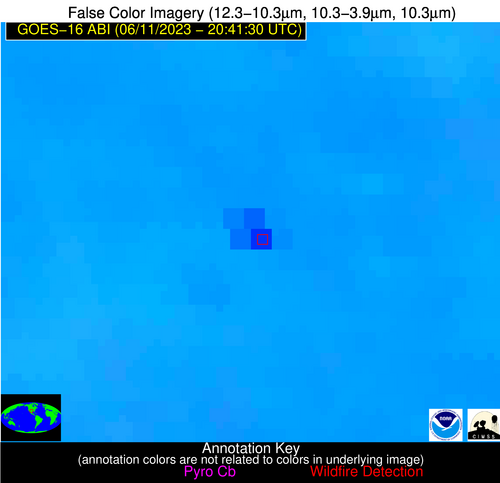
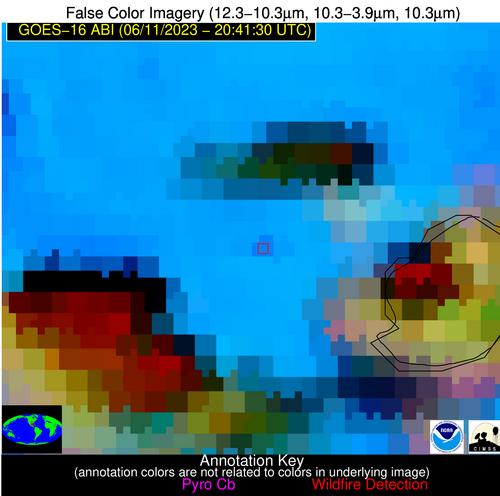
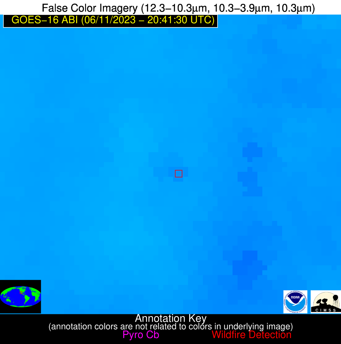
Possible Wildfire
| Basic Information | |
|---|---|
| State/Province(s) | NC |
| Country/Countries | USA |
| County/Locality(s) | Greene County, NC |
| NWS WFO | Newport/Morehead City NC |
| Identification Method | Enhanced Contextual (Cloud) |
| Mean Object Date/Time | 2023-06-11 20:42:22UTC |
| Radiative Center (Lat, Lon): | 35.410000°, -77.760000° |
| Nearby Counties (meeting alert criteria): |
|
| Total Radiative Power Anomaly | n/a |
| Total Radiative Power | 153.59 MW |
| Map: | |
| Additional Information | |
| Alert Status | New Feature |
| Type of Event | Reflective rooftop |
| Event Priority Ranking | 5 |
| Maximum Observed BT (3.9 um) | 330.58 K |
| Observed - Background BT (3.9 um) | 28.42 K |
| BT Anomaly (3.9 um) | 25.76 K |
| Maximum Observed - Clear RTM BT (3.9 um) | 33.95 K |
| Maximum Observed BTD (3.9-10/11/12 um) | 42.62 K |
| Observed - Background BTD (3.9-10/11/12 um) | 29.44 K |
| BTD Anomaly (3.9-10/11/12 um) | 23.38 K |
| Similar Pixel Count | 0 |
| BT Time Tendency (3.9 um) | 24.90 K |
| Image Interval | 5.00 minutes |
| Fraction of Surrounding LWIR Pixels that are Colder | 0.28 |
| Fraction of Surrounding Red Channel Pixels that are Brighter | 0.24 |
| Maximum Radiative Power | 153.59 MW |
| Maximum Radiative Power Uncertainty | 0.00 MW |
| Total Radiative Power Uncertainty | 0.00 MW |
| Mean Viewing Angle | 41.40° |
| Mean Solar Zenith Angle | 47.20° |
| Mean Glint Angle | 56.90° |
| Water Fraction | 0.00 |
| Total Pixel Area | 5.80 km2 |
| Latest Satellite Imagery: | |
| View all event imagery » | |
Possible Wildfire
| Basic Information | |
|---|---|
| State/Province(s) | TX |
| Country/Countries | USA |
| County/Locality(s) | Dawson County, TX |
| NWS WFO | Midland/Odessa TX |
| Identification Method | Enhanced Contextual (Cloud) |
| Mean Object Date/Time | 2023-06-11 20:42:19UTC |
| Radiative Center (Lat, Lon): | 32.890000°, -102.060000° |
| Nearby Counties (meeting alert criteria): |
|
| Total Radiative Power Anomaly | n/a |
| Total Radiative Power | 116.76 MW |
| Map: | |
| Additional Information | |
| Alert Status | New Feature |
| Type of Event | Nominal Risk |
| Event Priority Ranking | 4 |
| Maximum Observed BT (3.9 um) | 336.10 K |
| Observed - Background BT (3.9 um) | 15.54 K |
| BT Anomaly (3.9 um) | 9.53 K |
| Maximum Observed - Clear RTM BT (3.9 um) | 27.98 K |
| Maximum Observed BTD (3.9-10/11/12 um) | 28.89 K |
| Observed - Background BTD (3.9-10/11/12 um) | 15.65 K |
| BTD Anomaly (3.9-10/11/12 um) | 15.47 K |
| Similar Pixel Count | 0 |
| BT Time Tendency (3.9 um) | 12.80 K |
| Image Interval | 5.00 minutes |
| Fraction of Surrounding LWIR Pixels that are Colder | 0.44 |
| Fraction of Surrounding Red Channel Pixels that are Brighter | 0.86 |
| Maximum Radiative Power | 116.76 MW |
| Maximum Radiative Power Uncertainty | 0.00 MW |
| Total Radiative Power Uncertainty | 0.00 MW |
| Mean Viewing Angle | 48.20° |
| Mean Solar Zenith Angle | 26.90° |
| Mean Glint Angle | 40.80° |
| Water Fraction | 0.00 |
| Total Pixel Area | 7.10 km2 |
| Latest Satellite Imagery: | |
| View all event imagery » | |
Possible Wildfire
| Basic Information | |
|---|---|
| State/Province(s) | LA |
| Country/Countries | USA |
| County/Locality(s) | Livingston Parish, LA |
| NWS WFO | New Orleans LA |
| Identification Method | Enhanced Contextual (Clear) |
| Mean Object Date/Time | 2023-06-11 20:42:20UTC |
| Radiative Center (Lat, Lon): | 30.310000°, -90.730000° |
| Nearby Counties (meeting alert criteria): |
|
| Total Radiative Power Anomaly | n/a |
| Total Radiative Power | 19.09 MW |
| Map: | |
| Additional Information | |
| Alert Status | New Feature |
| Type of Event | Nominal Risk |
| Event Priority Ranking | 4 |
| Maximum Observed BT (3.9 um) | 308.54 K |
| Observed - Background BT (3.9 um) | 5.95 K |
| BT Anomaly (3.9 um) | 5.06 K |
| Maximum Observed - Clear RTM BT (3.9 um) | 7.56 K |
| Maximum Observed BTD (3.9-10/11/12 um) | 18.43 K |
| Observed - Background BTD (3.9-10/11/12 um) | 4.98 K |
| BTD Anomaly (3.9-10/11/12 um) | 4.83 K |
| Similar Pixel Count | 15 |
| BT Time Tendency (3.9 um) | 1.30 K |
| Image Interval | 5.00 minutes |
| Fraction of Surrounding LWIR Pixels that are Colder | 0.96 |
| Fraction of Surrounding Red Channel Pixels that are Brighter | 1.00 |
| Maximum Radiative Power | 19.09 MW |
| Maximum Radiative Power Uncertainty | 0.00 MW |
| Total Radiative Power Uncertainty | 0.00 MW |
| Mean Viewing Angle | 39.40° |
| Mean Solar Zenith Angle | 36.20° |
| Mean Glint Angle | 37.40° |
| Water Fraction | 0.00 |
| Total Pixel Area | 5.70 km2 |
| Latest Satellite Imagery: | |
| View all event imagery » | |
Possible Wildfire
| Basic Information | |
|---|---|
| State/Province(s) | Unknown |
| Country/Countries | Mexico |
| County/Locality(s) | Mexico |
| NWS WFO | N/A |
| Identification Method | Enhanced Contextual (Clear) |
| Mean Object Date/Time | 2023-06-11 20:42:48UTC |
| Radiative Center (Lat, Lon): | 28.260000°, -110.300000° |
| Nearby Counties (meeting alert criteria): |
|
| Total Radiative Power Anomaly | n/a |
| Total Radiative Power | 19.25 MW |
| Map: | |
| Additional Information | |
| Alert Status | New Feature |
| Type of Event | Nominal Risk |
| Event Priority Ranking | 4 |
| Maximum Observed BT (3.9 um) | 324.91 K |
| Observed - Background BT (3.9 um) | 2.97 K |
| BT Anomaly (3.9 um) | 2.34 K |
| Maximum Observed - Clear RTM BT (3.9 um) | 10.52 K |
| Maximum Observed BTD (3.9-10/11/12 um) | 16.36 K |
| Observed - Background BTD (3.9-10/11/12 um) | 2.60 K |
| BTD Anomaly (3.9-10/11/12 um) | 3.31 K |
| Similar Pixel Count | 24 |
| BT Time Tendency (3.9 um) | 1.00 K |
| Image Interval | 5.00 minutes |
| Fraction of Surrounding LWIR Pixels that are Colder | 0.82 |
| Fraction of Surrounding Red Channel Pixels that are Brighter | 0.98 |
| Maximum Radiative Power | 19.25 MW |
| Maximum Radiative Power Uncertainty | 0.00 MW |
| Total Radiative Power Uncertainty | 0.00 MW |
| Mean Viewing Angle | 50.90° |
| Mean Solar Zenith Angle | 19.00° |
| Mean Glint Angle | 39.30° |
| Water Fraction | 0.00 |
| Total Pixel Area | 7.80 km2 |
| Latest Satellite Imagery: | |
| View all event imagery » | |


