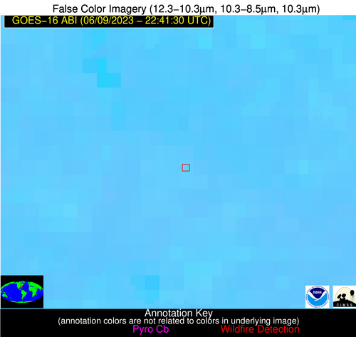
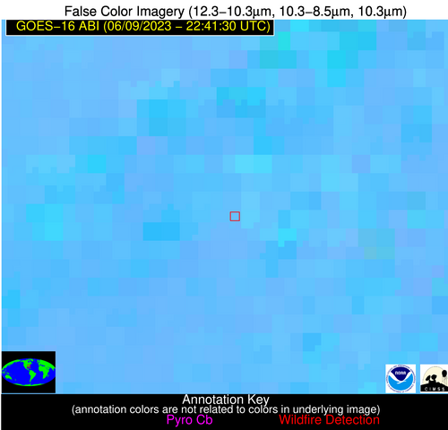
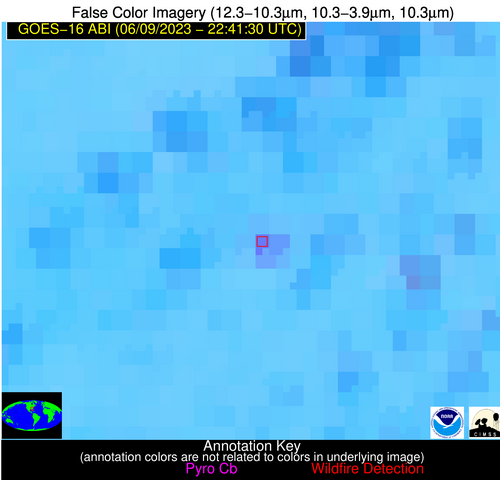
Wildfire Alert Report
| Date: | 2023-06-09 |
|---|---|
| Time: | 22:41:30 |
| Production Date and Time: | 2023-06-09 22:45:34 UTC |
| Primary Instrument: | GOES-16 ABI |
| Wmo Spacecraft Id: | 152 |
| Location/orbit: | GEO |
| L1 File: | OR_ABI-L1b-RadC-M6C14_G16_s20231602241184_e20231602243557_c20231602244052.nc |
| L1 File(s) - Temporal | OR_ABI-L1b-RadC-M6C14_G16_s20231602236184_e20231602238557_c20231602239020.nc |
| Number Of Thermal Anomaly Alerts: | 6 |
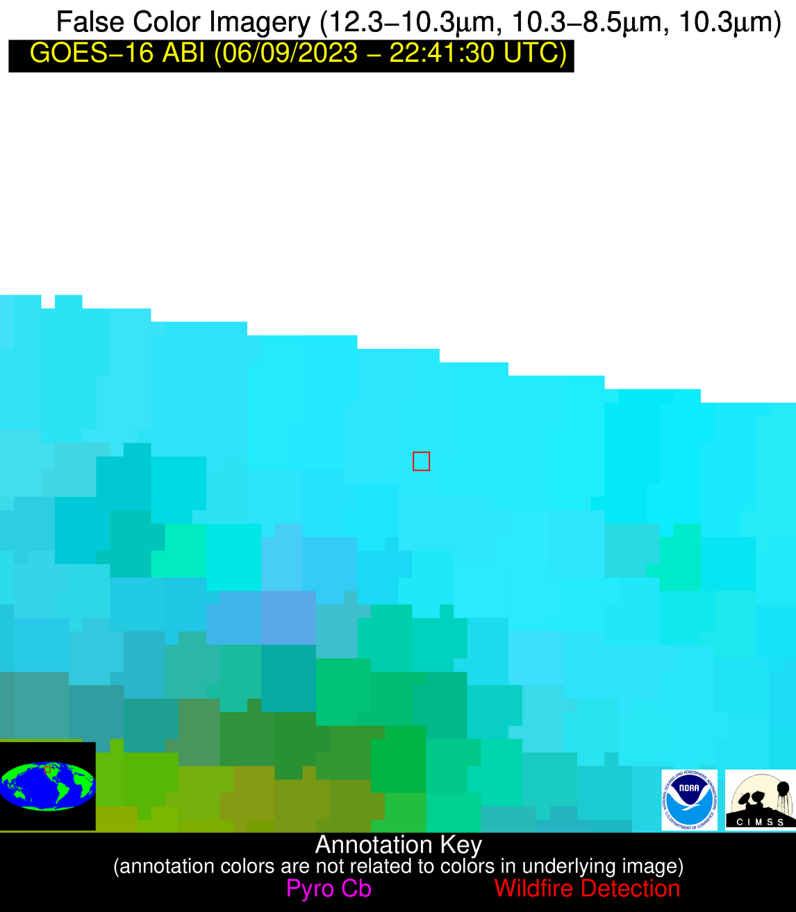
Possible Wildfire
| Basic Information | |
|---|---|
| State/Province(s) | Unknown |
| Country/Countries | Canada |
| County/Locality(s) | Canada |
| NWS WFO | N/A |
| Identification Method | Enhanced Contextual (Clear) |
| Mean Object Date/Time | 2023-06-09 22:41:20UTC |
| Radiative Center (Lat, Lon): | 52.850000°, -116.190000° |
| Nearby Counties (meeting alert criteria): |
|
| Total Radiative Power Anomaly | n/a |
| Total Radiative Power | 19.70 MW |
| Map: | |
| Additional Information | |
| Alert Status | New Feature |
| Type of Event | Nominal Risk |
| Event Priority Ranking | 4 |
| Maximum Observed BT (3.9 um) | 301.49 K |
| Observed - Background BT (3.9 um) | 4.88 K |
| BT Anomaly (3.9 um) | 4.75 K |
| Maximum Observed - Clear RTM BT (3.9 um) | 9.09 K |
| Maximum Observed BTD (3.9-10/11/12 um) | 11.47 K |
| Observed - Background BTD (3.9-10/11/12 um) | 3.22 K |
| BTD Anomaly (3.9-10/11/12 um) | 4.02 K |
| Similar Pixel Count | 15 |
| BT Time Tendency (3.9 um) | 0.90 K |
| Image Interval | 5.00 minutes |
| Fraction of Surrounding LWIR Pixels that are Colder | 1.00 |
| Fraction of Surrounding Red Channel Pixels that are Brighter | 1.00 |
| Maximum Radiative Power | 19.70 MW |
| Maximum Radiative Power Uncertainty | 0.00 MW |
| Total Radiative Power Uncertainty | 0.00 MW |
| Mean Viewing Angle | 71.70° |
| Mean Solar Zenith Angle | 45.00° |
| Mean Glint Angle | 60.80° |
| Water Fraction | 0.00 |
| Total Pixel Area | 22.70 km2 |
| Latest Satellite Imagery: | |
| View all event imagery » | |
Possible Wildfire
| Basic Information | |
|---|---|
| State/Province(s) | Unknown |
| Country/Countries | Unknown |
| County/Locality(s) | Unknown |
| NWS WFO | N/A |
| Identification Method | Enhanced Contextual (Cloud) |
| Mean Object Date/Time | 2023-06-09 22:41:49UTC |
| Radiative Center (Lat, Lon): | 43.090000°, -127.490000° |
| Nearby Counties (meeting alert criteria): |
|
| Total Radiative Power Anomaly | n/a |
| Total Radiative Power | 449.81 MW |
| Map: | |
| Additional Information | |
| Alert Status | New Feature |
| Type of Event | Nominal Risk |
| Event Priority Ranking | 4 |
| Maximum Observed BT (3.9 um) | 296.79 K |
| Observed - Background BT (3.9 um) | 21.10 K |
| BT Anomaly (3.9 um) | 12.76 K |
| Maximum Observed - Clear RTM BT (3.9 um) | 16.10 K |
| Maximum Observed BTD (3.9-10/11/12 um) | 33.28 K |
| Observed - Background BTD (3.9-10/11/12 um) | 21.44 K |
| BTD Anomaly (3.9-10/11/12 um) | 14.25 K |
| Similar Pixel Count | 0 |
| BT Time Tendency (3.9 um) | 2.40 K |
| Image Interval | 5.00 minutes |
| Fraction of Surrounding LWIR Pixels that are Colder | 0.14 |
| Fraction of Surrounding Red Channel Pixels that are Brighter | 0.52 |
| Maximum Radiative Power | 449.81 MW |
| Maximum Radiative Power Uncertainty | 0.00 MW |
| Total Radiative Power Uncertainty | 0.00 MW |
| Mean Viewing Angle | 72.30° |
| Mean Solar Zenith Angle | 34.00° |
| Mean Glint Angle | 55.30° |
| Water Fraction | 1.00 |
| Total Pixel Area | 27.40 km2 |
| Latest Satellite Imagery: | |
| View all event imagery » | |
Possible Wildfire
| Basic Information | |
|---|---|
| State/Province(s) | AR |
| Country/Countries | USA |
| County/Locality(s) | Poinsett County, AR |
| NWS WFO | Memphis TN |
| Identification Method | Enhanced Contextual (Clear) |
| Mean Object Date/Time | 2023-06-09 22:42:22UTC |
| Radiative Center (Lat, Lon): | 35.560000°, -90.960000° |
| Nearby Counties (meeting alert criteria): |
|
| Total Radiative Power Anomaly | n/a |
| Total Radiative Power | 15.00 MW |
| Map: | |
| Additional Information | |
| Alert Status | New Feature |
| Type of Event | Nominal Risk |
| Event Priority Ranking | 4 |
| Maximum Observed BT (3.9 um) | 305.15 K |
| Observed - Background BT (3.9 um) | 5.00 K |
| BT Anomaly (3.9 um) | 6.84 K |
| Maximum Observed - Clear RTM BT (3.9 um) | 9.12 K |
| Maximum Observed BTD (3.9-10/11/12 um) | 19.54 K |
| Observed - Background BTD (3.9-10/11/12 um) | 4.82 K |
| BTD Anomaly (3.9-10/11/12 um) | 3.46 K |
| Similar Pixel Count | 19 |
| BT Time Tendency (3.9 um) | 4.70 K |
| Image Interval | 5.00 minutes |
| Fraction of Surrounding LWIR Pixels that are Colder | 0.39 |
| Fraction of Surrounding Red Channel Pixels that are Brighter | 1.00 |
| Maximum Radiative Power | 15.00 MW |
| Maximum Radiative Power Uncertainty | 0.00 MW |
| Total Radiative Power Uncertainty | 0.00 MW |
| Mean Viewing Angle | 44.80° |
| Mean Solar Zenith Angle | 60.90° |
| Mean Glint Angle | 46.10° |
| Water Fraction | 0.00 |
| Total Pixel Area | 6.30 km2 |
| Latest Satellite Imagery: | |
| View all event imagery » | |
Possible Wildfire
| Basic Information | |
|---|---|
| State/Province(s) | NC |
| Country/Countries | USA |
| County/Locality(s) | Bladen County, NC |
| NWS WFO | Wilmington NC |
| Identification Method | Enhanced Contextual (Clear) |
| Mean Object Date/Time | 2023-06-09 22:42:23UTC |
| Radiative Center (Lat, Lon): | 34.670000°, -78.710000° |
| Nearby Counties (meeting alert criteria): |
|
| Total Radiative Power Anomaly | n/a |
| Total Radiative Power | 9.13 MW |
| Map: | |
| Additional Information | |
| Alert Status | New Feature |
| Type of Event | Nominal Risk |
| Event Priority Ranking | 4 |
| Maximum Observed BT (3.9 um) | 300.26 K |
| Observed - Background BT (3.9 um) | 3.99 K |
| BT Anomaly (3.9 um) | 10.96 K |
| Maximum Observed - Clear RTM BT (3.9 um) | 8.18 K |
| Maximum Observed BTD (3.9-10/11/12 um) | 7.65 K |
| Observed - Background BTD (3.9-10/11/12 um) | 3.41 K |
| BTD Anomaly (3.9-10/11/12 um) | 8.57 K |
| Similar Pixel Count | 2 |
| BT Time Tendency (3.9 um) | 1.30 K |
| Image Interval | 5.00 minutes |
| Fraction of Surrounding LWIR Pixels that are Colder | 0.95 |
| Fraction of Surrounding Red Channel Pixels that are Brighter | 1.00 |
| Maximum Radiative Power | 9.13 MW |
| Maximum Radiative Power Uncertainty | 0.00 MW |
| Total Radiative Power Uncertainty | 0.00 MW |
| Mean Viewing Angle | 40.60° |
| Mean Solar Zenith Angle | 70.90° |
| Mean Glint Angle | 61.80° |
| Water Fraction | 0.00 |
| Total Pixel Area | 5.70 km2 |
| Latest Satellite Imagery: | |
| View all event imagery » | |
Possible Wildfire
| Basic Information | |
|---|---|
| State/Province(s) | MS |
| Country/Countries | USA |
| County/Locality(s) | Choctaw County, MS |
| NWS WFO | Jackson MS |
| Identification Method | Enhanced Contextual (Clear) |
| Mean Object Date/Time | 2023-06-09 22:42:22UTC |
| Radiative Center (Lat, Lon): | 33.480000°, -89.130000° |
| Nearby Counties (meeting alert criteria): |
|
| Total Radiative Power Anomaly | n/a |
| Total Radiative Power | 23.69 MW |
| Map: | |
| Additional Information | |
| Alert Status | New Feature |
| Type of Event | Nominal Risk |
| Event Priority Ranking | 4 |
| Maximum Observed BT (3.9 um) | 305.36 K |
| Observed - Background BT (3.9 um) | 7.10 K |
| BT Anomaly (3.9 um) | 11.40 K |
| Maximum Observed - Clear RTM BT (3.9 um) | 9.48 K |
| Maximum Observed BTD (3.9-10/11/12 um) | 18.22 K |
| Observed - Background BTD (3.9-10/11/12 um) | 7.23 K |
| BTD Anomaly (3.9-10/11/12 um) | 7.19 K |
| Similar Pixel Count | 11 |
| BT Time Tendency (3.9 um) | 4.20 K |
| Image Interval | 5.00 minutes |
| Fraction of Surrounding LWIR Pixels that are Colder | 0.58 |
| Fraction of Surrounding Red Channel Pixels that are Brighter | 1.00 |
| Maximum Radiative Power | 23.69 MW |
| Maximum Radiative Power Uncertainty | 0.00 MW |
| Total Radiative Power Uncertainty | 0.00 MW |
| Mean Viewing Angle | 41.90° |
| Mean Solar Zenith Angle | 62.80° |
| Mean Glint Angle | 47.20° |
| Water Fraction | 0.00 |
| Total Pixel Area | 5.90 km2 |
| Latest Satellite Imagery: | |
| View all event imagery » | |
Possible Wildfire
| Basic Information | |
|---|---|
| State/Province(s) | GA |
| Country/Countries | USA |
| County/Locality(s) | Burke County, GA |
| NWS WFO | Columbia SC |
| Identification Method | Enhanced Contextual (Clear) |
| Mean Object Date/Time | 2023-06-09 22:42:23UTC |
| Radiative Center (Lat, Lon): | 32.850000°, -82.180000° |
| Nearby Counties (meeting alert criteria): |
|
| Total Radiative Power Anomaly | n/a |
| Total Radiative Power | 34.15 MW |
| Map: | |
| Additional Information | |
| Alert Status | New Feature |
| Type of Event | Nominal Risk |
| Event Priority Ranking | 4 |
| Maximum Observed BT (3.9 um) | 308.95 K |
| Observed - Background BT (3.9 um) | 11.13 K |
| BT Anomaly (3.9 um) | 21.20 K |
| Maximum Observed - Clear RTM BT (3.9 um) | 14.93 K |
| Maximum Observed BTD (3.9-10/11/12 um) | 15.62 K |
| Observed - Background BTD (3.9-10/11/12 um) | 10.51 K |
| BTD Anomaly (3.9-10/11/12 um) | 11.26 K |
| Similar Pixel Count | 2 |
| BT Time Tendency (3.9 um) | 9.80 K |
| Image Interval | 5.00 minutes |
| Fraction of Surrounding LWIR Pixels that are Colder | 0.77 |
| Fraction of Surrounding Red Channel Pixels that are Brighter | 1.00 |
| Maximum Radiative Power | 34.15 MW |
| Maximum Radiative Power Uncertainty | 0.00 MW |
| Total Radiative Power Uncertainty | 0.00 MW |
| Mean Viewing Angle | 39.10° |
| Mean Solar Zenith Angle | 68.60° |
| Mean Glint Angle | 56.70° |
| Water Fraction | 0.00 |
| Total Pixel Area | 5.60 km2 |
| Latest Satellite Imagery: | |
| View all event imagery » | |
