Wildfire Alert Report
| Date: | 2023-06-08 |
|---|---|
| Time: | 20:26:30 |
| Production Date and Time: | 2023-06-08 20:30:44 UTC |
| Primary Instrument: | GOES-16 ABI |
| Wmo Spacecraft Id: | 152 |
| Location/orbit: | GEO |
| L1 File: | OR_ABI-L1b-RadC-M6C14_G16_s20231592026183_e20231592028555_c20231592029011.nc |
| L1 File(s) - Temporal | OR_ABI-L1b-RadC-M6C14_G16_s20231592021183_e20231592023555_c20231592024049.nc |
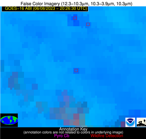
| Number Of Thermal Anomaly Alerts: | 3 |
Possible Wildfire
| Basic Information | |
|---|---|
| State/Province(s) | AR |
| Country/Countries | USA |
| County/Locality(s) | Lincoln County, AR |
| NWS WFO | Little Rock AR |
| Identification Method | Enhanced Contextual (Clear) |
| Mean Object Date/Time | 2023-06-08 20:27:21UTC |
| Radiative Center (Lat, Lon): | 34.040000°, -91.830000° |
| Nearby Counties (meeting alert criteria): |
|
| Total Radiative Power Anomaly | n/a |
| Total Radiative Power | 23.46 MW |
| Map: | |
| Additional Information | |
| Alert Status | New Feature |
| Type of Event | Nominal Risk |
| Event Priority Ranking | 4 |
| Maximum Observed BT (3.9 um) | 313.93 K |
| Observed - Background BT (3.9 um) | 6.02 K |
| BT Anomaly (3.9 um) | 2.38 K |
| Maximum Observed - Clear RTM BT (3.9 um) | 13.60 K |
| Maximum Observed BTD (3.9-10/11/12 um) | 22.22 K |
| Observed - Background BTD (3.9-10/11/12 um) | 5.24 K |
| BTD Anomaly (3.9-10/11/12 um) | 3.00 K |
| Similar Pixel Count | 18 |
| BT Time Tendency (3.9 um) | 3.10 K |
| Image Interval | 5.00 minutes |
| Fraction of Surrounding LWIR Pixels that are Colder | 0.86 |
| Fraction of Surrounding Red Channel Pixels that are Brighter | 0.98 |
| Maximum Radiative Power | 23.46 MW |
| Maximum Radiative Power Uncertainty | 0.00 MW |
| Total Radiative Power Uncertainty | 0.00 MW |
| Mean Viewing Angle | 43.60° |
| Mean Solar Zenith Angle | 32.70° |
| Mean Glint Angle | 43.90° |
| Water Fraction | 0.00 |
| Total Pixel Area | 6.20 km2 |
| Latest Satellite Imagery: | |
| View all event imagery » | |
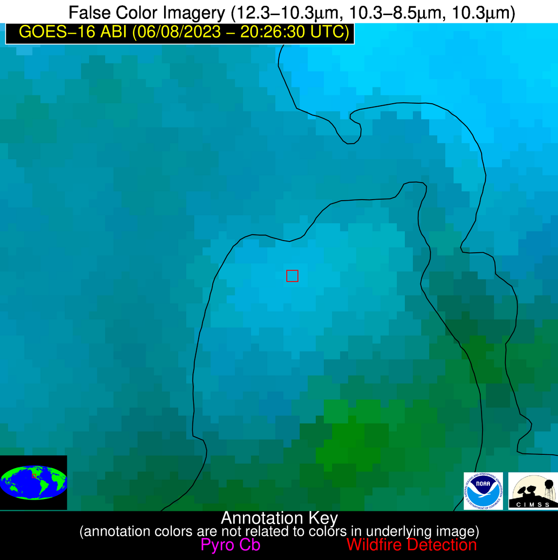
Possible Wildfire
| Basic Information | |
|---|---|
| State/Province(s) | Unknown |
| Country/Countries | Mexico |
| County/Locality(s) | Mexico |
| NWS WFO | N/A |
| Identification Method | Enhanced Contextual (Cloud) |
| Mean Object Date/Time | 2023-06-08 20:27:49UTC |
| Radiative Center (Lat, Lon): | 29.160000°, -112.400000° |
| Nearby Counties (meeting alert criteria): |
|
| Total Radiative Power Anomaly | n/a |
| Total Radiative Power | 106.89 MW |
| Map: | |
| Additional Information | |
| Alert Status | New Feature |
| Type of Event | Nominal Risk |
| Event Priority Ranking | 4 |
| Maximum Observed BT (3.9 um) | 310.09 K |
| Observed - Background BT (3.9 um) | 14.27 K |
| BT Anomaly (3.9 um) | 13.50 K |
| Maximum Observed - Clear RTM BT (3.9 um) | 0.64 K |
| Maximum Observed BTD (3.9-10/11/12 um) | 33.03 K |
| Observed - Background BTD (3.9-10/11/12 um) | 12.45 K |
| BTD Anomaly (3.9-10/11/12 um) | 13.27 K |
| Similar Pixel Count | 0 |
| BT Time Tendency (3.9 um) | 1.40 K |
| Image Interval | 5.00 minutes |
| Fraction of Surrounding LWIR Pixels that are Colder | 0.99 |
| Fraction of Surrounding Red Channel Pixels that are Brighter | 0.56 |
| Maximum Radiative Power | 106.89 MW |
| Maximum Radiative Power Uncertainty | 0.00 MW |
| Total Radiative Power Uncertainty | 0.00 MW |
| Mean Viewing Angle | 53.10° |
| Mean Solar Zenith Angle | 14.60° |
| Mean Glint Angle | 46.00° |
| Water Fraction | 0.00 |
| Total Pixel Area | 8.50 km2 |
| Latest Satellite Imagery: | |
| View all event imagery » | |
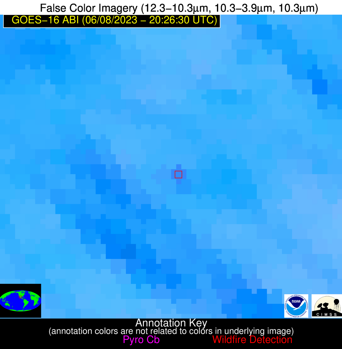
Possible Wildfire
| Basic Information | |
|---|---|
| State/Province(s) | Unknown |
| Country/Countries | Mexico |
| County/Locality(s) | Mexico |
| NWS WFO | N/A |
| Identification Method | Enhanced Contextual (Clear) |
| Mean Object Date/Time | 2023-06-08 20:27:49UTC |
| Radiative Center (Lat, Lon): | 27.550000°, -107.300000° |
| Nearby Counties (meeting alert criteria): |
|
| Total Radiative Power Anomaly | n/a |
| Total Radiative Power | 25.36 MW |
| Map: | |
| Additional Information | |
| Alert Status | New Feature |
| Type of Event | Nominal Risk |
| Event Priority Ranking | 4 |
| Maximum Observed BT (3.9 um) | 317.96 K |
| Observed - Background BT (3.9 um) | 5.61 K |
| BT Anomaly (3.9 um) | 3.97 K |
| Maximum Observed - Clear RTM BT (3.9 um) | 14.02 K |
| Maximum Observed BTD (3.9-10/11/12 um) | 14.76 K |
| Observed - Background BTD (3.9-10/11/12 um) | 5.57 K |
| BTD Anomaly (3.9-10/11/12 um) | 5.43 K |
| Similar Pixel Count | 11 |
| BT Time Tendency (3.9 um) | 3.30 K |
| Image Interval | 5.00 minutes |
| Fraction of Surrounding LWIR Pixels that are Colder | 0.56 |
| Fraction of Surrounding Red Channel Pixels that are Brighter | 1.00 |
| Maximum Radiative Power | 25.36 MW |
| Maximum Radiative Power Uncertainty | 0.00 MW |
| Total Radiative Power Uncertainty | 0.00 MW |
| Mean Viewing Angle | 48.00° |
| Mean Solar Zenith Angle | 18.40° |
| Mean Glint Angle | 37.40° |
| Water Fraction | 0.00 |
| Total Pixel Area | 7.20 km2 |
| Latest Satellite Imagery: | |
| View all event imagery » | |


