Wildfire Alert Report
| Date: | 2023-06-06 |
|---|---|
| Time: | 13:36:30 |
| Production Date and Time: | 2023-06-06 13:40:25 UTC |
| Primary Instrument: | GOES-16 ABI |
| Wmo Spacecraft Id: | 152 |
| Location/orbit: | GEO |
| L1 File: | OR_ABI-L1b-RadC-M6C14_G16_s20231571336180_e20231571338553_c20231571339038.nc |
| L1 File(s) - Temporal | OR_ABI-L1b-RadC-M6C14_G16_s20231571331180_e20231571333553_c20231571334033.nc |
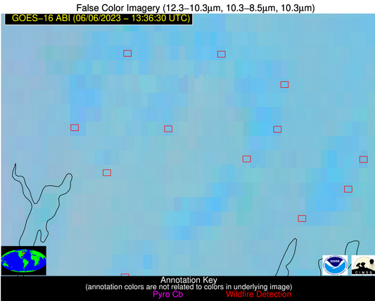
| Number Of Thermal Anomaly Alerts: | 3 |
Possible Wildfire
| Basic Information | |
|---|---|
| State/Province(s) | Unknown |
| Country/Countries | Canada |
| County/Locality(s) | Canada |
| NWS WFO | N/A |
| Identification Method | Enhanced Contextual (Cloud) |
| Mean Object Date/Time | 2023-06-06 13:36:23UTC |
| Radiative Center (Lat, Lon): | 48.910000°, -76.130000° |
| Nearby Counties (meeting alert criteria): |
|
| Total Radiative Power Anomaly | n/a |
| Total Radiative Power | 45.16 MW |
| Map: | |
| Additional Information | |
| Alert Status | New Feature |
| Type of Event | Nominal Risk |
| Event Priority Ranking | 4 |
| Maximum Observed BT (3.9 um) | 303.20 K |
| Observed - Background BT (3.9 um) | 11.64 K |
| BT Anomaly (3.9 um) | 2.55 K |
| Maximum Observed - Clear RTM BT (3.9 um) | 20.82 K |
| Maximum Observed BTD (3.9-10/11/12 um) | 16.93 K |
| Observed - Background BTD (3.9-10/11/12 um) | 10.43 K |
| BTD Anomaly (3.9-10/11/12 um) | 2.80 K |
| Similar Pixel Count | 0 |
| BT Time Tendency (3.9 um) | 1.30 K |
| Image Interval | 5.00 minutes |
| Fraction of Surrounding LWIR Pixels that are Colder | 0.86 |
| Fraction of Surrounding Red Channel Pixels that are Brighter | 0.31 |
| Maximum Radiative Power | 35.34 MW |
| Maximum Radiative Power Uncertainty | 0.00 MW |
| Total Radiative Power Uncertainty | 0.00 MW |
| Mean Viewing Angle | 56.40° |
| Mean Solar Zenith Angle | 48.20° |
| Mean Glint Angle | 78.20° |
| Water Fraction | 0.00 |
| Total Pixel Area | 16.40 km2 |
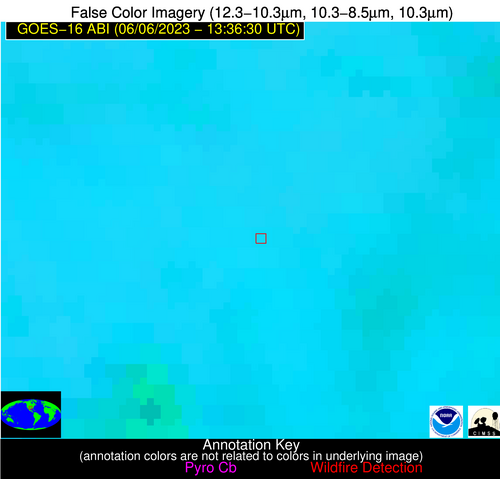
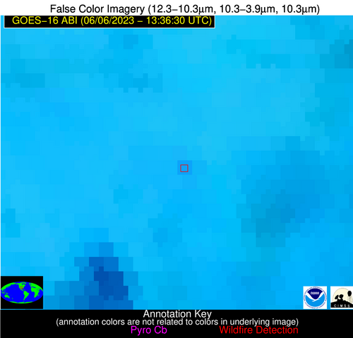
| Latest Satellite Imagery: | |
| View all event imagery » | |
Possible Wildfire
| Basic Information | |
|---|---|
| State/Province(s) | Unknown |
| Country/Countries | Canada |
| County/Locality(s) | Canada |
| NWS WFO | N/A |
| Identification Method | Enhanced Contextual (Cloud) |
| Mean Object Date/Time | 2023-06-06 13:36:23UTC |
| Radiative Center (Lat, Lon): | 48.810000°, -76.760000° |
| Nearby Counties (meeting alert criteria): |
|
| Total Radiative Power Anomaly | n/a |
| Total Radiative Power | 16.78 MW |
| Map: | |
| Additional Information | |
| Alert Status | New Feature |
| Type of Event | Nominal Risk |
| Event Priority Ranking | 4 |
| Maximum Observed BT (3.9 um) | 295.92 K |
| Observed - Background BT (3.9 um) | 6.32 K |
| BT Anomaly (3.9 um) | 1.55 K |
| Maximum Observed - Clear RTM BT (3.9 um) | 12.35 K |
| Maximum Observed BTD (3.9-10/11/12 um) | 11.86 K |
| Observed - Background BTD (3.9-10/11/12 um) | 6.36 K |
| BTD Anomaly (3.9-10/11/12 um) | 1.84 K |
| Similar Pixel Count | 0 |
| BT Time Tendency (3.9 um) | -1.00 K |
| Image Interval | 5.00 minutes |
| Fraction of Surrounding LWIR Pixels that are Colder | 0.54 |
| Fraction of Surrounding Red Channel Pixels that are Brighter | 0.50 |
| Maximum Radiative Power | 16.78 MW |
| Maximum Radiative Power Uncertainty | 0.00 MW |
| Total Radiative Power Uncertainty | 0.00 MW |
| Mean Viewing Angle | 56.30° |
| Mean Solar Zenith Angle | 48.60° |
| Mean Glint Angle | 78.40° |
| Water Fraction | 0.00 |
| Total Pixel Area | 8.20 km2 |
| Latest Satellite Imagery: | |
| View all event imagery » | |
Possible Wildfire
| Basic Information | |
|---|---|
| State/Province(s) | TX |
| Country/Countries | USA |
| County/Locality(s) | Denton County, TX |
| NWS WFO | Fort Worth TX |
| Identification Method | Enhanced Contextual (Clear) |
| Mean Object Date/Time | 2023-06-06 13:37:21UTC |
| Radiative Center (Lat, Lon): | 33.220000°, -97.080000° |
| Nearby Counties (meeting alert criteria): |
|
| Total Radiative Power Anomaly | n/a |
| Total Radiative Power | 10.75 MW |
| Map: | |
| Additional Information | |
| Alert Status | New Feature |
| Type of Event | Nominal Risk |
| Event Priority Ranking | 4 |
| Maximum Observed BT (3.9 um) | 299.75 K |
| Observed - Background BT (3.9 um) | 3.64 K |
| BT Anomaly (3.9 um) | 4.06 K |
| Maximum Observed - Clear RTM BT (3.9 um) | 7.98 K |
| Maximum Observed BTD (3.9-10/11/12 um) | 11.98 K |
| Observed - Background BTD (3.9-10/11/12 um) | 3.38 K |
| BTD Anomaly (3.9-10/11/12 um) | 3.52 K |
| Similar Pixel Count | 20 |
| BT Time Tendency (3.9 um) | 1.60 K |
| Image Interval | 5.00 minutes |
| Fraction of Surrounding LWIR Pixels that are Colder | 0.64 |
| Fraction of Surrounding Red Channel Pixels that are Brighter | 0.96 |
| Maximum Radiative Power | 10.75 MW |
| Maximum Radiative Power Uncertainty | 0.00 MW |
| Total Radiative Power Uncertainty | 0.00 MW |
| Mean Viewing Angle | 45.50° |
| Mean Solar Zenith Angle | 63.80° |
| Mean Glint Angle | 87.90° |
| Water Fraction | 0.00 |
| Total Pixel Area | 6.50 km2 |
| Latest Satellite Imagery: | |
| View all event imagery » | |


