Wildfire Alert Report
| Date: | 2023-06-01 |
|---|---|
| Time: | 14:21:30 |
| Production Date and Time: | 2023-06-01 14:25:16 UTC |
| Primary Instrument: | GOES-16 ABI |
| Wmo Spacecraft Id: | 152 |
| Location/orbit: | GEO |
| L1 File: | OR_ABI-L1b-RadC-M6C14_G16_s20231521421174_e20231521423547_c20231521424018.nc |
| L1 File(s) - Temporal | OR_ABI-L1b-RadC-M6C14_G16_s20231521416174_e20231521418547_c20231521419038.nc |
| Number Of Thermal Anomaly Alerts: | 4 |
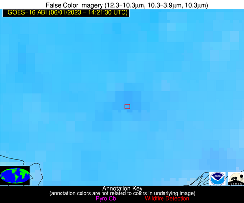
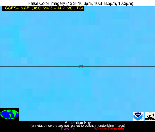
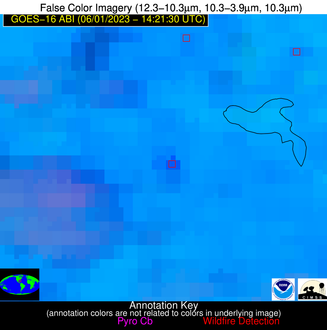
Possible Wildfire
| Basic Information | |
|---|---|
| State/Province(s) | Maine |
| Country/Countries | USA |
| County/Locality(s) | Androscoggin County, Maine |
| NWS WFO | Gray ME |
| Identification Method | Enhanced Contextual (Clear) |
| Mean Object Date/Time | 2023-06-01 14:21:23UTC |
| Radiative Center (Lat, Lon): | 44.080000°, -70.220000° |
| Nearby Counties (meeting alert criteria): |
|
| Total Radiative Power Anomaly | n/a |
| Total Radiative Power | 21.71 MW |
| Map: | |
| Additional Information | |
| Alert Status | New Feature |
| Type of Event | Nominal Risk |
| Event Priority Ranking | 4 |
| Maximum Observed BT (3.9 um) | 305.57 K |
| Observed - Background BT (3.9 um) | 5.37 K |
| BT Anomaly (3.9 um) | 8.29 K |
| Maximum Observed - Clear RTM BT (3.9 um) | 10.22 K |
| Maximum Observed BTD (3.9-10/11/12 um) | 9.39 K |
| Observed - Background BTD (3.9-10/11/12 um) | 3.50 K |
| BTD Anomaly (3.9-10/11/12 um) | 7.44 K |
| Similar Pixel Count | 17 |
| BT Time Tendency (3.9 um) | 0.80 K |
| Image Interval | 5.00 minutes |
| Fraction of Surrounding LWIR Pixels that are Colder | 1.00 |
| Fraction of Surrounding Red Channel Pixels that are Brighter | 0.99 |
| Maximum Radiative Power | 12.73 MW |
| Maximum Radiative Power Uncertainty | 0.00 MW |
| Total Radiative Power Uncertainty | 0.00 MW |
| Mean Viewing Angle | 51.30° |
| Mean Solar Zenith Angle | 35.80° |
| Mean Glint Angle | 69.40° |
| Water Fraction | 0.00 |
| Total Pixel Area | 14.30 km2 |
| Latest Satellite Imagery: | |
| View all event imagery » | |
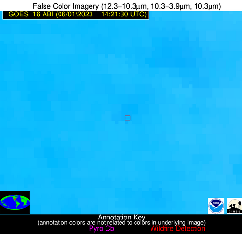
Possible Wildfire
| Basic Information | |
|---|---|
| State/Province(s) | New York |
| Country/Countries | USA |
| County/Locality(s) | Tioga County, New York |
| NWS WFO | Binghamton NY |
| Identification Method | Enhanced Contextual (Clear) |
| Mean Object Date/Time | 2023-06-01 14:21:52UTC |
| Radiative Center (Lat, Lon): | 42.000000°, -76.540000° |
| Nearby Counties (meeting alert criteria): |
|
| Total Radiative Power Anomaly | n/a |
| Total Radiative Power | 5.99 MW |
| Map: | |
| Additional Information | |
| Alert Status | New Feature |
| Type of Event | Nominal Risk |
| Event Priority Ranking | 4 |
| Maximum Observed BT (3.9 um) | 303.09 K |
| Observed - Background BT (3.9 um) | 4.00 K |
| BT Anomaly (3.9 um) | 4.46 K |
| Maximum Observed - Clear RTM BT (3.9 um) | 10.25 K |
| Maximum Observed BTD (3.9-10/11/12 um) | 8.56 K |
| Observed - Background BTD (3.9-10/11/12 um) | 2.65 K |
| BTD Anomaly (3.9-10/11/12 um) | 5.09 K |
| Similar Pixel Count | 20 |
| BT Time Tendency (3.9 um) | 0.80 K |
| Image Interval | 5.00 minutes |
| Fraction of Surrounding LWIR Pixels that are Colder | 0.99 |
| Fraction of Surrounding Red Channel Pixels that are Brighter | 1.00 |
| Maximum Radiative Power | 5.99 MW |
| Maximum Radiative Power Uncertainty | 0.00 MW |
| Total Radiative Power Uncertainty | 0.00 MW |
| Mean Viewing Angle | 48.80° |
| Mean Solar Zenith Angle | 39.30° |
| Mean Glint Angle | 69.60° |
| Water Fraction | 0.00 |
| Total Pixel Area | 6.70 km2 |
| Latest Satellite Imagery: | |
| View all event imagery » | |
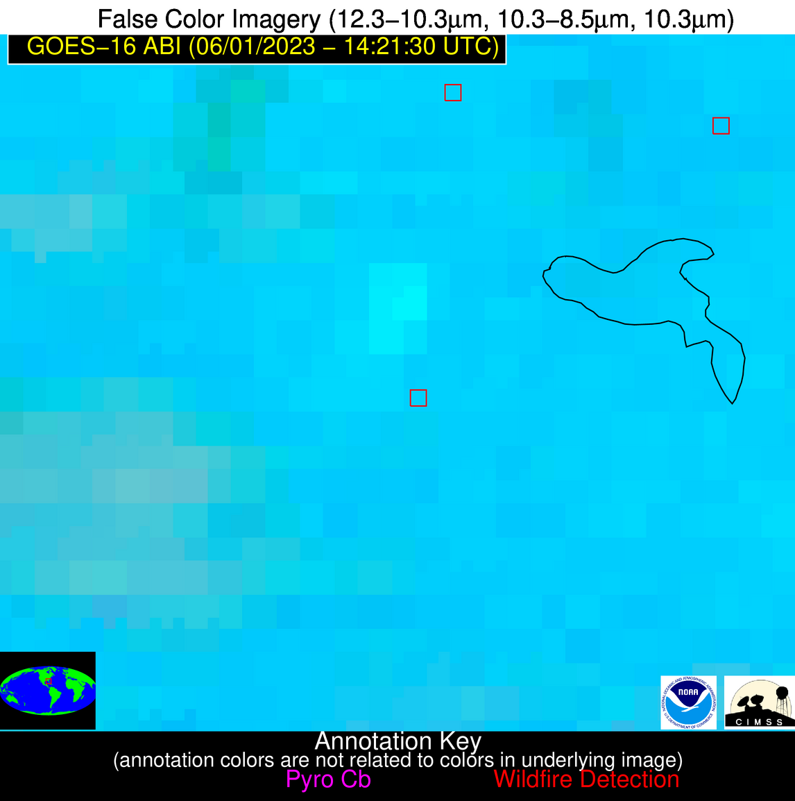
Possible Wildfire
| Basic Information | |
|---|---|
| State/Province(s) | Texas |
| Country/Countries | USA |
| County/Locality(s) | Rusk County, Texas |
| NWS WFO | Shreveport LA |
| Identification Method | Enhanced Contextual (Clear) |
| Mean Object Date/Time | 2023-06-01 14:22:20UTC |
| Radiative Center (Lat, Lon): | 32.360000°, -94.880000° |
| Nearby Counties (meeting alert criteria): |
|
| Total Radiative Power Anomaly | n/a |
| Total Radiative Power | 4.88 MW |
| Map: | |
| Additional Information | |
| Alert Status | New Feature |
| Type of Event | Nominal Risk |
| Event Priority Ranking | 4 |
| Maximum Observed BT (3.9 um) | 301.04 K |
| Observed - Background BT (3.9 um) | 2.43 K |
| BT Anomaly (3.9 um) | 2.82 K |
| Maximum Observed - Clear RTM BT (3.9 um) | 7.15 K |
| Maximum Observed BTD (3.9-10/11/12 um) | 10.09 K |
| Observed - Background BTD (3.9-10/11/12 um) | 1.90 K |
| BTD Anomaly (3.9-10/11/12 um) | 3.15 K |
| Similar Pixel Count | 25 |
| BT Time Tendency (3.9 um) | 1.20 K |
| Image Interval | 5.00 minutes |
| Fraction of Surrounding LWIR Pixels that are Colder | 0.58 |
| Fraction of Surrounding Red Channel Pixels that are Brighter | 1.00 |
| Maximum Radiative Power | 4.88 MW |
| Maximum Radiative Power Uncertainty | 0.00 MW |
| Total Radiative Power Uncertainty | 0.00 MW |
| Mean Viewing Angle | 43.50° |
| Mean Solar Zenith Angle | 52.80° |
| Mean Glint Angle | 80.20° |
| Water Fraction | 0.00 |
| Total Pixel Area | 6.20 km2 |
| Latest Satellite Imagery: | |
| View all event imagery » | |
Possible Wildfire
| Basic Information | |
|---|---|
| State/Province(s) | Florida |
| Country/Countries | USA |
| County/Locality(s) | Sumter County, Florida |
| NWS WFO | Tampa Bay Ruskin FL |
| Identification Method | Enhanced Contextual (Clear) |
| Mean Object Date/Time | 2023-06-01 14:22:52UTC |
| Radiative Center (Lat, Lon): | 28.690000°, -81.970000° |
| Nearby Counties (meeting alert criteria): |
|
| Total Radiative Power Anomaly | n/a |
| Total Radiative Power | 27.80 MW |
| Map: | |
| Additional Information | |
| Alert Status | New Feature |
| Type of Event | Nominal Risk |
| Event Priority Ranking | 4 |
| Maximum Observed BT (3.9 um) | 312.34 K |
| Observed - Background BT (3.9 um) | 9.23 K |
| BT Anomaly (3.9 um) | 5.79 K |
| Maximum Observed - Clear RTM BT (3.9 um) | 17.05 K |
| Maximum Observed BTD (3.9-10/11/12 um) | 25.23 K |
| Observed - Background BTD (3.9-10/11/12 um) | 9.98 K |
| BTD Anomaly (3.9-10/11/12 um) | 6.84 K |
| Similar Pixel Count | 12 |
| BT Time Tendency (3.9 um) | 3.00 K |
| Image Interval | 5.00 minutes |
| Fraction of Surrounding LWIR Pixels that are Colder | 0.39 |
| Fraction of Surrounding Red Channel Pixels that are Brighter | 0.97 |
| Maximum Radiative Power | 27.80 MW |
| Maximum Radiative Power Uncertainty | 0.00 MW |
| Total Radiative Power Uncertainty | 0.00 MW |
| Mean Viewing Angle | 34.50° |
| Mean Solar Zenith Angle | 41.80° |
| Mean Glint Angle | 57.70° |
| Water Fraction | 0.00 |
| Total Pixel Area | 5.20 km2 |
| Latest Satellite Imagery: | |
| View all event imagery » | |

