Wildfire Alert Report
| Date: | 2023-06-01 |
|---|---|
| Time: | 08:10:30 |
| Production Date and Time: | 2023-06-01 08:21:46 UTC |
| Primary Instrument: | GOES-18 ABI |
| Wmo Spacecraft Id: | 665 |
| Location/orbit: | GEO |
| L1 File: | OR_ABI-L1b-RadF-M6C14_G18_s20231520810211_e20231520819519_c20231520819592.nc |
| L1 File(s) - Temporal | OR_ABI-L1b-RadF-M6C14_G18_s20231520800211_e20231520809519_c20231520809584.nc |
| Number Of Thermal Anomaly Alerts: | 5 |
Possible Wildfire
| Basic Information | |
|---|---|
| State/Province(s) | Alaska |
| Country/Countries | USA |
| County/Locality(s) | North Slope Borough, Alaska |
| NWS WFO | Fairbanks AK |
| Identification Method | Enhanced Contextual (Cloud) |
| Mean Object Date/Time | 2023-06-01 08:10:24UTC |
| Radiative Center (Lat, Lon): | 69.730000°, -149.540000° |
| Nearby Counties (meeting alert criteria): |
|
| Total Radiative Power Anomaly | n/a |
| Total Radiative Power | 774.12 MW |
| Map: | |
| Additional Information | |
| Alert Status | New Feature |
| Type of Event | Nominal Risk |
| Event Priority Ranking | 4 |
| Maximum Observed BT (3.9 um) | 314.47 K |
| Observed - Background BT (3.9 um) | 14.57 K |
| BT Anomaly (3.9 um) | 2.07 K |
| Maximum Observed - Clear RTM BT (3.9 um) | 51.24 K |
| Maximum Observed BTD (3.9-10/11/12 um) | 62.92 K |
| Observed - Background BTD (3.9-10/11/12 um) | 13.01 K |
| BTD Anomaly (3.9-10/11/12 um) | 1.89 K |
| Similar Pixel Count | 0 |
| BT Time Tendency (3.9 um) | 3.70 K |
| Image Interval | 10.00 minutes |
| Fraction of Surrounding LWIR Pixels that are Colder | 0.61 |
| Fraction of Surrounding Red Channel Pixels that are Brighter | 1.00 |
| Maximum Radiative Power | 774.12 MW |
| Maximum Radiative Power Uncertainty | 0.00 MW |
| Total Radiative Power Uncertainty | 0.00 MW |
| Mean Viewing Angle | 79.70° |
| Mean Solar Zenith Angle | 86.40° |
| Mean Glint Angle | 12.80° |
| Water Fraction | 0.00 |
| Total Pixel Area | 27.90 km2 |
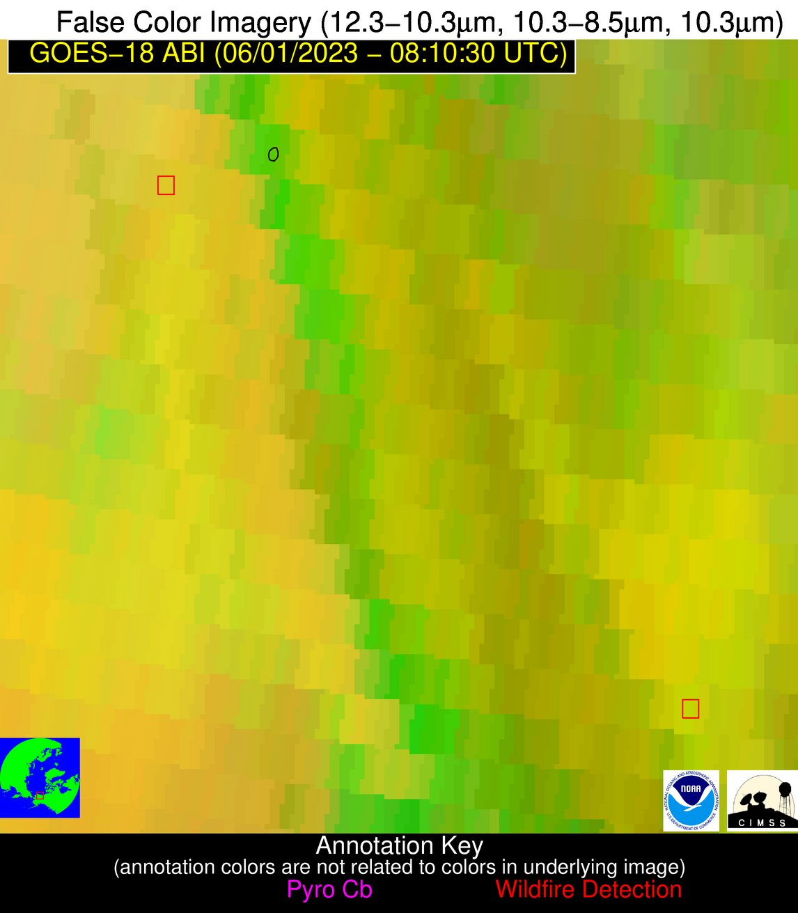
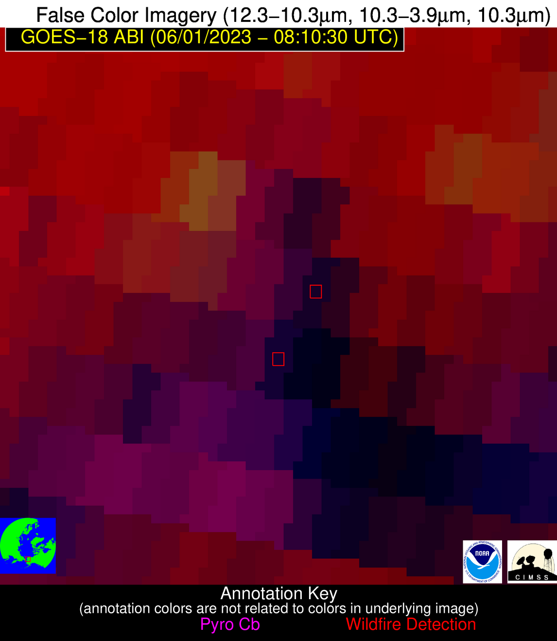
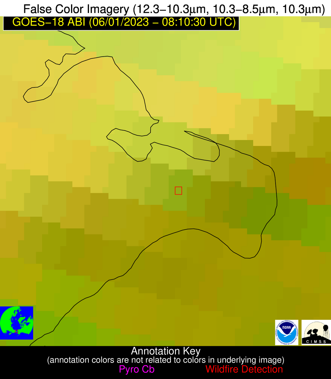
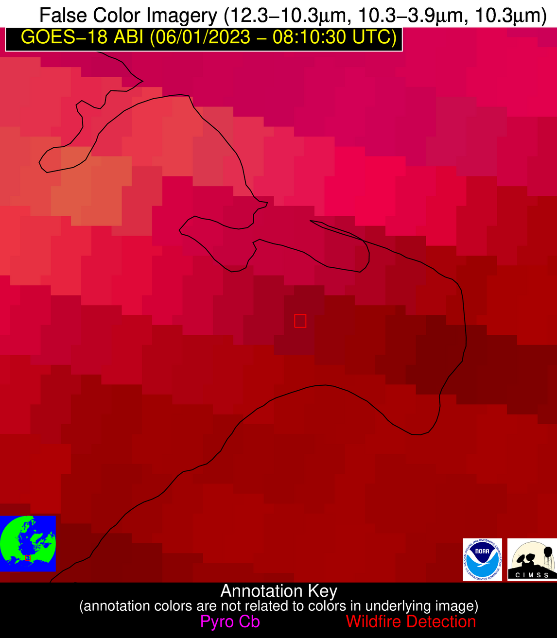
| Latest Satellite Imagery: | |
| View all event imagery » | |
Possible Wildfire
| Basic Information | |
|---|---|
| State/Province(s) | Alaska |
| Country/Countries | USA |
| County/Locality(s) | North Slope Borough, Alaska |
| NWS WFO | Fairbanks AK |
| Identification Method | Enhanced Contextual (Cloud) |
| Mean Object Date/Time | 2023-06-01 08:10:24UTC |
| Radiative Center (Lat, Lon): | 68.750000°, -146.790000° |
| Nearby Counties (meeting alert criteria): |
|
| Total Radiative Power Anomaly | n/a |
| Total Radiative Power | 639.33 MW |
| Map: | |
| Additional Information | |
| Alert Status | New Feature |
| Type of Event | Nominal Risk |
| Event Priority Ranking | 4 |
| Maximum Observed BT (3.9 um) | 306.65 K |
| Observed - Background BT (3.9 um) | 19.39 K |
| BT Anomaly (3.9 um) | 1.72 K |
| Maximum Observed - Clear RTM BT (3.9 um) | 45.29 K |
| Maximum Observed BTD (3.9-10/11/12 um) | 63.83 K |
| Observed - Background BTD (3.9-10/11/12 um) | 19.03 K |
| BTD Anomaly (3.9-10/11/12 um) | 1.62 K |
| Similar Pixel Count | 0 |
| BT Time Tendency (3.9 um) | 13.80 K |
| Image Interval | 10.00 minutes |
| Fraction of Surrounding LWIR Pixels that are Colder | 0.60 |
| Fraction of Surrounding Red Channel Pixels that are Brighter | 1.00 |
| Maximum Radiative Power | 639.33 MW |
| Maximum Radiative Power Uncertainty | 0.00 MW |
| Total Radiative Power Uncertainty | 0.00 MW |
| Mean Viewing Angle | 78.40° |
| Mean Solar Zenith Angle | 87.70° |
| Mean Glint Angle | 14.50° |
| Water Fraction | 0.00 |
| Total Pixel Area | 24.40 km2 |
| Latest Satellite Imagery: | |
| View all event imagery » | |
Possible Wildfire
| Basic Information | |
|---|---|
| State/Province(s) | Alaska |
| Country/Countries | USA |
| County/Locality(s) | Northwest Arctic Borough, Alaska |
| NWS WFO | Fairbanks AK |
| Identification Method | Enhanced Contextual (Cloud) |
| Mean Object Date/Time | 2023-06-01 08:10:24UTC |
| Radiative Center (Lat, Lon): | 67.440000°, -160.410000° |
| Nearby Counties (meeting alert criteria): |
|
| Total Radiative Power Anomaly | n/a |
| Total Radiative Power | 1137.59 MW |
| Map: | |
| Additional Information | |
| Alert Status | New Feature |
| Type of Event | Nominal Risk |
| Event Priority Ranking | 4 |
| Maximum Observed BT (3.9 um) | 314.80 K |
| Observed - Background BT (3.9 um) | 24.92 K |
| BT Anomaly (3.9 um) | 2.99 K |
| Maximum Observed - Clear RTM BT (3.9 um) | 50.41 K |
| Maximum Observed BTD (3.9-10/11/12 um) | 68.31 K |
| Observed - Background BTD (3.9-10/11/12 um) | 23.17 K |
| BTD Anomaly (3.9-10/11/12 um) | 2.83 K |
| Similar Pixel Count | 0 |
| BT Time Tendency (3.9 um) | 5.90 K |
| Image Interval | 10.00 minutes |
| Fraction of Surrounding LWIR Pixels that are Colder | 0.88 |
| Fraction of Surrounding Red Channel Pixels that are Brighter | 1.00 |
| Maximum Radiative Power | 632.25 MW |
| Maximum Radiative Power Uncertainty | 0.00 MW |
| Total Radiative Power Uncertainty | 0.00 MW |
| Mean Viewing Angle | 78.80° |
| Mean Solar Zenith Angle | 86.50° |
| Mean Glint Angle | 11.80° |
| Water Fraction | 0.00 |
| Total Pixel Area | 59.40 km2 |
| Latest Satellite Imagery: | |
| View all event imagery » | |
Possible Wildfire
| Basic Information | |
|---|---|
| State/Province(s) | Alaska |
| Country/Countries | USA |
| County/Locality(s) | Northwest Arctic Borough, Alaska |
| NWS WFO | Fairbanks AK |
| Identification Method | Enhanced Contextual (Cloud) |
| Mean Object Date/Time | 2023-06-01 08:10:24UTC |
| Radiative Center (Lat, Lon): | 67.370000°, -160.510000° |
| Nearby Counties (meeting alert criteria): |
|
| Total Radiative Power Anomaly | n/a |
| Total Radiative Power | 290.12 MW |
| Map: | |
| Additional Information | |
| Alert Status | New Feature |
| Type of Event | Nominal Risk |
| Event Priority Ranking | 4 |
| Maximum Observed BT (3.9 um) | 308.47 K |
| Observed - Background BT (3.9 um) | 16.05 K |
| BT Anomaly (3.9 um) | 2.10 K |
| Maximum Observed - Clear RTM BT (3.9 um) | 43.84 K |
| Maximum Observed BTD (3.9-10/11/12 um) | 59.72 K |
| Observed - Background BTD (3.9-10/11/12 um) | 13.02 K |
| BTD Anomaly (3.9-10/11/12 um) | 1.65 K |
| Similar Pixel Count | 0 |
| BT Time Tendency (3.9 um) | 3.20 K |
| Image Interval | 10.00 minutes |
| Fraction of Surrounding LWIR Pixels that are Colder | 0.95 |
| Fraction of Surrounding Red Channel Pixels that are Brighter | 1.00 |
| Maximum Radiative Power | 290.12 MW |
| Maximum Radiative Power Uncertainty | 0.00 MW |
| Total Radiative Power Uncertainty | 0.00 MW |
| Mean Viewing Angle | 78.70° |
| Mean Solar Zenith Angle | 86.50° |
| Mean Glint Angle | 11.80° |
| Water Fraction | 0.00 |
| Total Pixel Area | 29.60 km2 |
| Latest Satellite Imagery: | |
| View all event imagery » | |
Possible Wildfire
| Basic Information | |
|---|---|
| State/Province(s) | Unknown |
| Country/Countries | Russian Federation |
| County/Locality(s) | Russian Federation |
| NWS WFO | N/A |
| Identification Method | Enhanced Contextual (Cloud) |
| Mean Object Date/Time | 2023-06-01 08:10:23UTC |
| Radiative Center (Lat, Lon): | 66.100000°, -170.060000° |
| Nearby Counties (meeting alert criteria): |
|
| Total Radiative Power Anomaly | n/a |
| Total Radiative Power | 567.85 MW |
| Map: | |
| Additional Information | |
| Alert Status | New Feature |
| Type of Event | Nominal Risk |
| Event Priority Ranking | 4 |
| Maximum Observed BT (3.9 um) | 306.22 K |
| Observed - Background BT (3.9 um) | 10.59 K |
| BT Anomaly (3.9 um) | 1.76 K |
| Maximum Observed - Clear RTM BT (3.9 um) | 41.64 K |
| Maximum Observed BTD (3.9-10/11/12 um) | 60.56 K |
| Observed - Background BTD (3.9-10/11/12 um) | 8.71 K |
| BTD Anomaly (3.9-10/11/12 um) | 1.41 K |
| Similar Pixel Count | 0 |
| BT Time Tendency (3.9 um) | 8.20 K |
| Image Interval | 10.00 minutes |
| Fraction of Surrounding LWIR Pixels that are Colder | 0.60 |
| Fraction of Surrounding Red Channel Pixels that are Brighter | 1.00 |
| Maximum Radiative Power | 567.85 MW |
| Maximum Radiative Power Uncertainty | 0.00 MW |
| Total Radiative Power Uncertainty | 0.00 MW |
| Mean Viewing Angle | 79.60° |
| Mean Solar Zenith Angle | 85.20° |
| Mean Glint Angle | 9.10° |
| Water Fraction | 0.00 |
| Total Pixel Area | 38.40 km2 |
| Latest Satellite Imagery: | |
| View all event imagery » | |


