Please consider accessing NGFS detections and satellite imagery through the NOAA/NESDIS Wildland Fire Data Portal: https://fire.data.nesdis.noaa.gov/map/
Wildfire Notification
Aid: 974935
Notification Type: Possible Wildfire
Date: 2025-03-14 22:00:56
Show details ▲▼
| Basic Information | |
|---|---|
| State/Province(s) | OK |
| Country/Countries | United States |
| County/Locality(s) | Garfield County, OK |
| NWS WFO | Norman OK |
| Identification Method | Enhanced Contextual (Cloud) |
| Mean Object Date/Time | 2025-03-14 22:01:02UTC |
| Radiative Center (Lat, Lon): | 36.376945°, -98.015556° |
| Nearby Counties (meeting notification criteria): |
|
| Total Radiative Power Anomaly | n/a |
| Total Radiative Power | 149.48 MW |
| Map: | |
| Additional Information | |
| Notification Status | New Feature |
| Type of Event | Extreme SPC Risk and Red Flag Warning |
| Event Priority Ranking | 1 |
| Maximum Observed BT (3.9 um) | 306.45 K |
| Observed - Background BT (3.9 um) | 9.13 K |
| BT Anomaly (3.9 um) | 18.56 K |
| Maximum Observed - Clear RTM BT (3.9 um) | 20.54 K |
| Maximum Observed BTD (3.9-10/11/12 um) | 24.08 K |
| Observed - Background BTD (3.9-10/11/12 um) | 9.80 K |
| BTD Anomaly (3.9-10/11/12 um) | 5.71 K |
| Similar Pixel Count | 0 |
| BT Time Tendency (3.9 um) | 3.50 K |
| Image Interval | 2.00 minutes |
| Fraction of Surrounding LWIR Pixels that are Colder | 0.56 |
| Fraction of Surrounding Red Channel Pixels that are Brighter | 1.00 |
| Maximum Radiative Power | 87.10 MW |
| Maximum Radiative Power Uncertainty | 0.00 MW |
| Total Radiative Power Uncertainty | 0.00 MW |
| Mean Viewing Angle | 59.00° |
| Mean Solar Zenith Angle | 60.80° |
| Mean Glint Angle | 119.50° |
| Water Fraction | 0.00 |
| Total Pixel Area | 15.50 km2 |
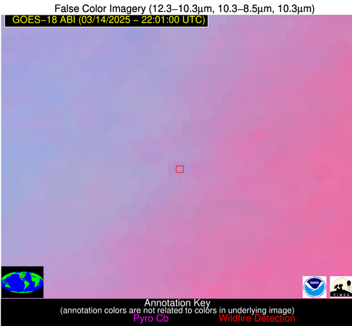
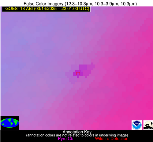
| Latest Satellite Imagery: | |