Please consider accessing NGFS detections and satellite imagery through the NOAA/NESDIS Wildland Fire Data Portal: https://fire.data.nesdis.noaa.gov/map/
Wildfire Notification
Aid: 938429
Notification Type: Possible Wildfire
Date: 2025-02-26 21:45:55
Show details ▲▼
| Basic Information | |
|---|---|
| State/Province(s) | OK |
| Country/Countries | United States |
| County/Locality(s) | Alfalfa County, OK |
| NWS WFO | Norman OK |
| Identification Method | Enhanced Contextual (Cloud) |
| Mean Object Date/Time | 2025-02-26 21:45:58UTC |
| Radiative Center (Lat, Lon): | 36.786945°, -98.198608° |
| Nearby Counties (meeting notification criteria): |
|
| Total Radiative Power Anomaly | n/a |
| Total Radiative Power | 443.56 MW |
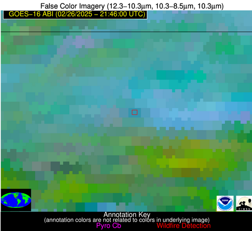
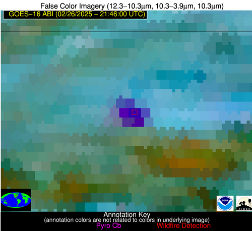
| Map: | |
| Additional Information | |
| Notification Status | New Feature |
| Type of Event | Nominal Risk, Known Incident: OKSLR-HFR-FY25-RX-Wilderness (HIGH, tdiff=0.12985 days, Point) |
| Event Priority Ranking | 4 |
| Maximum Observed BT (3.9 um) | 327.17 K |
| Observed - Background BT (3.9 um) | 42.57 K |
| BT Anomaly (3.9 um) | 20.35 K |
| Maximum Observed - Clear RTM BT (3.9 um) | 44.24 K |
| Maximum Observed BTD (3.9-10/11/12 um) | 53.13 K |
| Observed - Background BTD (3.9-10/11/12 um) | 41.80 K |
| BTD Anomaly (3.9-10/11/12 um) | 30.35 K |
| Similar Pixel Count | 0 |
| BT Time Tendency (3.9 um) | -999.00 K |
| Image Interval | -999.00 minutes |
| Fraction of Surrounding LWIR Pixels that are Colder | 0.76 |
| Fraction of Surrounding Red Channel Pixels that are Brighter | 0.92 |
| Maximum Radiative Power | 290.54 MW |
| Maximum Radiative Power Uncertainty | 0.00 MW |
| Total Radiative Power Uncertainty | 0.00 MW |
| Mean Viewing Angle | 49.30° |
| Mean Solar Zenith Angle | 62.30° |
| Mean Glint Angle | 74.20° |
| Water Fraction | 0.20 |
| Total Pixel Area | 24.50 km2 |
| Latest Satellite Imagery: | |