Please consider accessing NGFS detections and satellite imagery through the NOAA/NESDIS Wildland Fire Data Portal: https://fire.data.nesdis.noaa.gov/map/
Wildfire Notification
Aid: 785403
Notification Type: Possible Wildfire
Date: 2024-06-17 18:55:56
Show details ▲▼
| Basic Information | |
|---|---|
| State/Province(s) | NM |
| Country/Countries | USA |
| County/Locality(s) | Otero County, NM |
| NWS WFO | El Paso Tx/Santa Teresa NM |
| Identification Method | Enhanced Contextual (Cloud) |
| Mean Object Date/Time | 2024-06-17 18:56:02UTC |
| Radiative Center (Lat, Lon): | 33.350000°, -105.750000° |
| Nearby Counties (meeting notification criteria): |
|
| Total Radiative Power Anomaly | n/a |
| Total Radiative Power | 618.78 MW |
| Map: | |
| Additional Information | |
| Notification Status | New Feature |
| Type of Event | Elevated SPC Risk, Known Incident: BLUE 2 (LOW, tdiff=12.86476 days, PERIMETER) |
| Event Priority Ranking | 3 |
| Maximum Observed BT (3.9 um) | 344.68 K |
| Observed - Background BT (3.9 um) | 33.48 K |
| BT Anomaly (3.9 um) | 37.48 K |
| Maximum Observed - Clear RTM BT (3.9 um) | 35.42 K |
| Maximum Observed BTD (3.9-10/11/12 um) | 41.60 K |
| Observed - Background BTD (3.9-10/11/12 um) | 34.81 K |
| BTD Anomaly (3.9-10/11/12 um) | 66.10 K |
| Similar Pixel Count | 0 |
| BT Time Tendency (3.9 um) | 14.60 K |
| Image Interval | 1.00 minutes |
| Fraction of Surrounding LWIR Pixels that are Colder | 0.01 |
| Fraction of Surrounding Red Channel Pixels that are Brighter | 1.00 |
| Maximum Radiative Power | 372.14 MW |
| Maximum Radiative Power Uncertainty | 0.00 MW |
| Total Radiative Power Uncertainty | 0.00 MW |
| Mean Viewing Angle | 51.50° |
| Mean Solar Zenith Angle | 10.10° |
| Mean Glint Angle | 57.30° |
| Water Fraction | 0.00 |
| Total Pixel Area | 23.80 km2 |
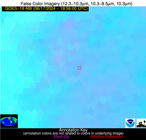
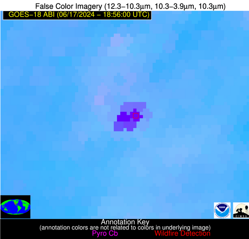
| Latest Satellite Imagery: | |