Wildfire Alert
Aid: 772693
Alert Type: Possible Wildfire
Date: 2024-05-19 21:36:17
Show details ▲▼
| Basic Information | |
|---|---|
| State/Province(s) | NM |
| Country/Countries | USA |
| County/Locality(s) | Otero County, NM |
| NWS WFO | El Paso Tx/Santa Teresa NM |
| Identification Method | Enhanced Contextual (Cloud) |
| Mean Object Date/Time | 2024-05-19 21:37:19UTC |
| Radiative Center (Lat, Lon): | 32.980000°, -105.970000° |
| Nearby Counties (meeting alert criteria): |
|
| Total Radiative Power Anomaly | n/a |
| Total Radiative Power | 813.17 MW |
| Map: | |
| Additional Information | |
| Alert Status | New Feature |
| Type of Event | Solar panel (database + spectral) |
| Event Priority Ranking | 5 |
| Maximum Observed BT (3.9 um) | 358.62 K |
| Observed - Background BT (3.9 um) | 38.48 K |
| BT Anomaly (3.9 um) | 37.97 K |
| Maximum Observed - Clear RTM BT (3.9 um) | 53.34 K |
| Maximum Observed BTD (3.9-10/11/12 um) | 46.14 K |
| Observed - Background BTD (3.9-10/11/12 um) | 38.40 K |
| BTD Anomaly (3.9-10/11/12 um) | 61.08 K |
| Similar Pixel Count | 0 |
| BT Time Tendency (3.9 um) | 36.00 K |
| Image Interval | 5.00 minutes |
| Fraction of Surrounding LWIR Pixels that are Colder | 0.69 |
| Fraction of Surrounding Red Channel Pixels that are Brighter | 0.00 |
| Maximum Radiative Power | 519.35 MW |
| Maximum Radiative Power Uncertainty | 0.00 MW |
| Total Radiative Power Uncertainty | 0.00 MW |
| Mean Viewing Angle | 50.90° |
| Mean Solar Zenith Angle | 37.10° |
| Mean Glint Angle | 38.40° |
| Water Fraction | 0.00 |
| Total Pixel Area | 31.20 km2 |
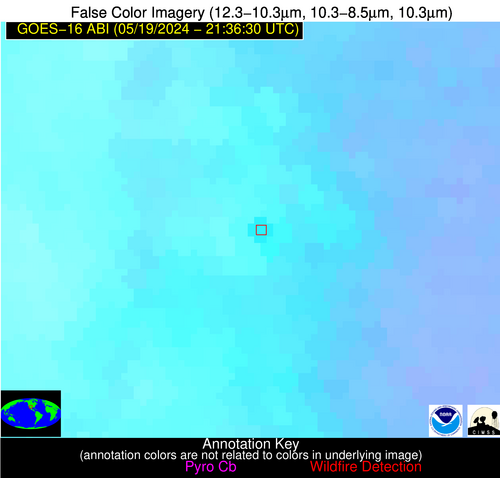
| Latest Satellite Imagery: | |


