Wildfire Alert
Aid: 753621
Alert Type: Possible Wildfire
Date: 2024-04-16 09:11:53
Show details ▲▼
| Basic Information | |
|---|---|
| State/Province(s) | AK |
| Country/Countries | USA |
| County/Locality(s) | Yukon-Koyukuk Census Area, AK |
| NWS WFO | Unknown |
| Identification Method | Enhanced Contextual (Bias) |
| Mean Object Date/Time | 2024-04-16 09:11:55UTC |
| Radiative Center (Lat, Lon): | 65.770000°, -153.100000° |
| Nearby Counties (meeting alert criteria): |
|
| Total Radiative Power Anomaly | n/a |
| Total Radiative Power | 0.00 MW |
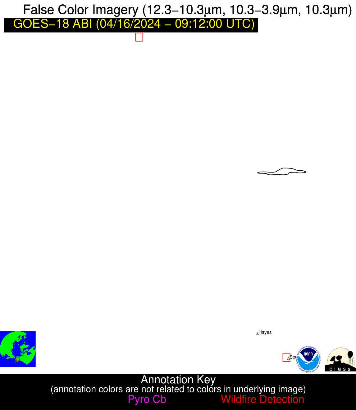
| Map: | |
| Additional Information | |
| Alert Status | New Feature |
| Type of Event | Nominal Risk |
| Event Priority Ranking | 4 |
| Maximum Observed BT (3.9 um) | 274.95 K |
| Observed - Background BT (3.9 um) | 999.99 K |
| BT Anomaly (3.9 um) | -999.00 K |
| Maximum Observed - Clear RTM BT (3.9 um) | 14.20 K |
| Maximum Observed BTD (3.9-10/11/12 um) | 44.10 K |
| Observed - Background BTD (3.9-10/11/12 um) | 999.99 K |
| BTD Anomaly (3.9-10/11/12 um) | -999.00 K |
| Similar Pixel Count | 0 |
| BT Time Tendency (3.9 um) | -999.00 K |
| Image Interval | -999.00 minutes |
| Fraction of Surrounding LWIR Pixels that are Colder | 0.00 |
| Fraction of Surrounding Red Channel Pixels that are Brighter | 0.00 |
| Maximum Radiative Power | -9999999.99 MW |
| Maximum Radiative Power Uncertainty | 0.00 MW |
| Total Radiative Power Uncertainty | 0.00 MW |
| Mean Viewing Angle | 75.90° |
| Mean Solar Zenith Angle | 103.30° |
| Mean Glint Angle | 27.50° |
| Water Fraction | 0.00 |
| Total Pixel Area | 85.20 km2 |
| Latest Satellite Imagery: | |