Wildfire Alert
Aid: 698148
Alert Type: Possible Wildfire
Date: 2024-02-24 17:36:17
Show details ▲▼
| Basic Information | |
|---|---|
| State/Province(s) | OK |
| Country/Countries | USA |
| County/Locality(s) | Sequoyah County, OK |
| NWS WFO | Tulsa OK |
| Identification Method | Enhanced Contextual (Cloud) |
| Mean Object Date/Time | 2024-02-24 17:37:20UTC |
| Radiative Center (Lat, Lon): | 35.420000°, -94.990000° |
| Nearby Counties (meeting alert criteria): |
|
| Total Radiative Power Anomaly | n/a |
| Total Radiative Power | 70.29 MW |
| Map: | |
| Additional Information | |
| Alert Status | New Feature |
| Type of Event | Nominal Risk, Known Incident: RX OKSQR-FY24-HFR-RX-SANDTOWN BOTTOM (MEDIUM, tdiff=1.68744 days, POIN |
| Event Priority Ranking | 4 |
| Maximum Observed BT (3.9 um) | 314.65 K |
| Observed - Background BT (3.9 um) | 18.01 K |
| BT Anomaly (3.9 um) | 12.08 K |
| Maximum Observed - Clear RTM BT (3.9 um) | 22.68 K |
| Maximum Observed BTD (3.9-10/11/12 um) | 25.90 K |
| Observed - Background BTD (3.9-10/11/12 um) | 18.95 K |
| BTD Anomaly (3.9-10/11/12 um) | 36.35 K |
| Similar Pixel Count | 0 |
| BT Time Tendency (3.9 um) | 15.50 K |
| Image Interval | 5.00 minutes |
| Fraction of Surrounding LWIR Pixels that are Colder | 0.06 |
| Fraction of Surrounding Red Channel Pixels that are Brighter | 1.00 |
| Maximum Radiative Power | 70.29 MW |
| Maximum Radiative Power Uncertainty | 0.00 MW |
| Total Radiative Power Uncertainty | 0.00 MW |
| Mean Viewing Angle | 46.40° |
| Mean Solar Zenith Angle | 47.20° |
| Mean Glint Angle | 92.90° |
| Water Fraction | 1.00 |
| Total Pixel Area | 6.70 km2 |
| Latest Satellite Imagery: | |
-
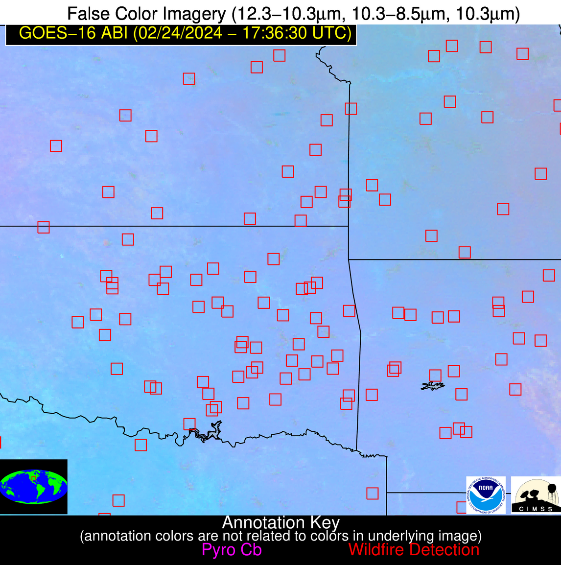
 False Color Image (12-11, 11-8.5, 11)
-
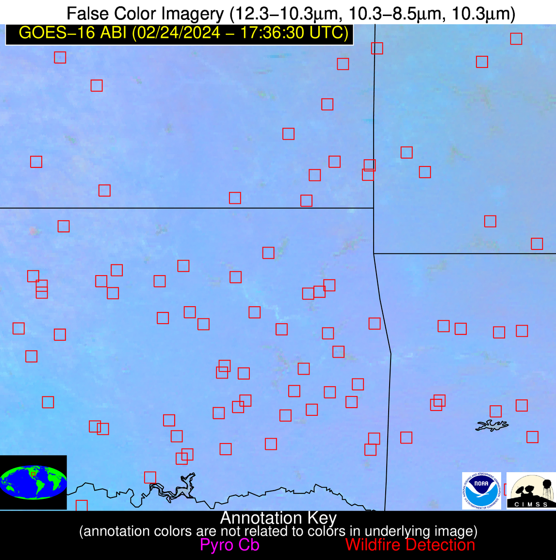
 False Color Image (12-11, 11-8.5, 11) [zoomed-in]
-
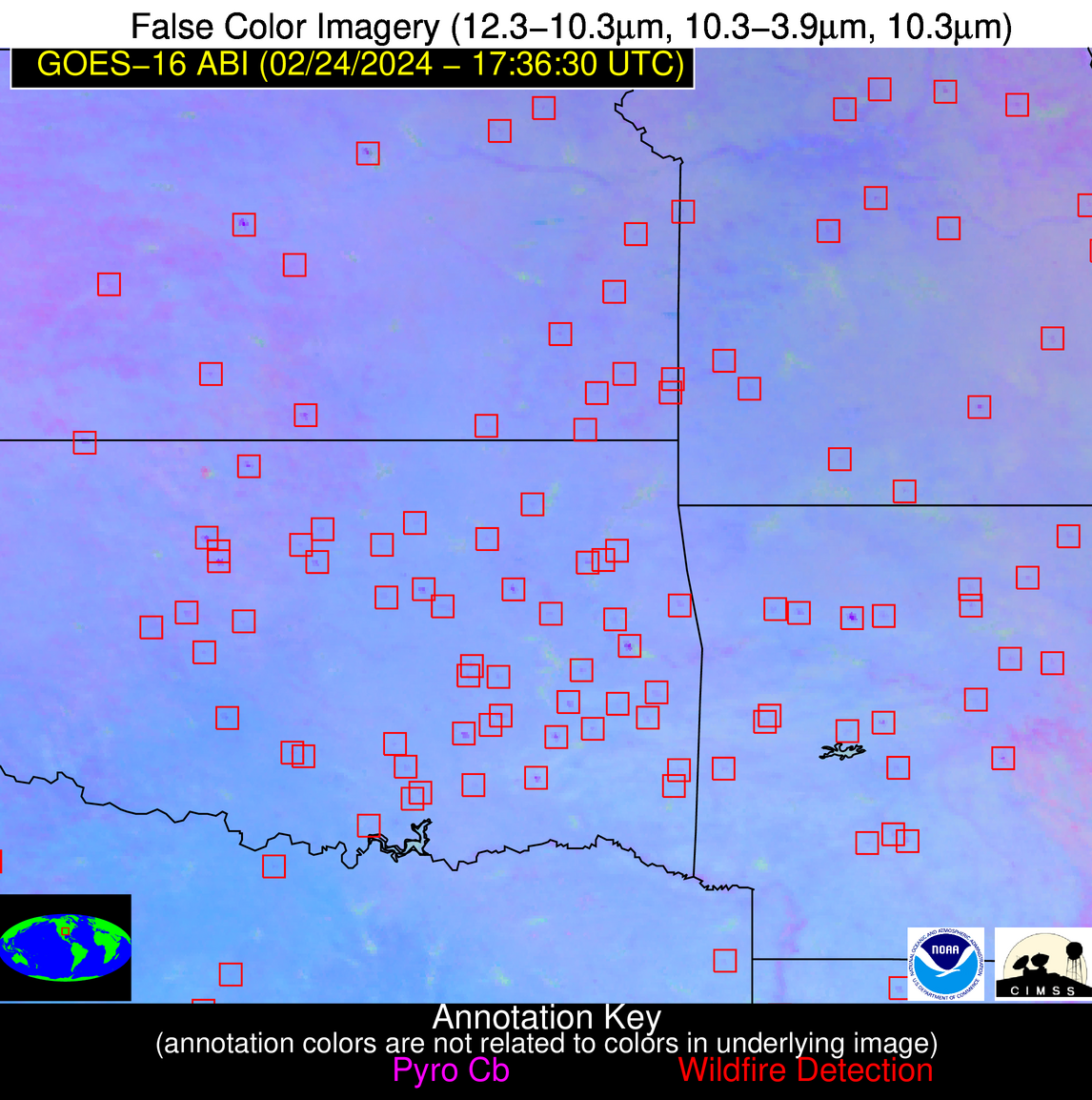
 False Color Image (12-11, 11-3.9, 11)
-
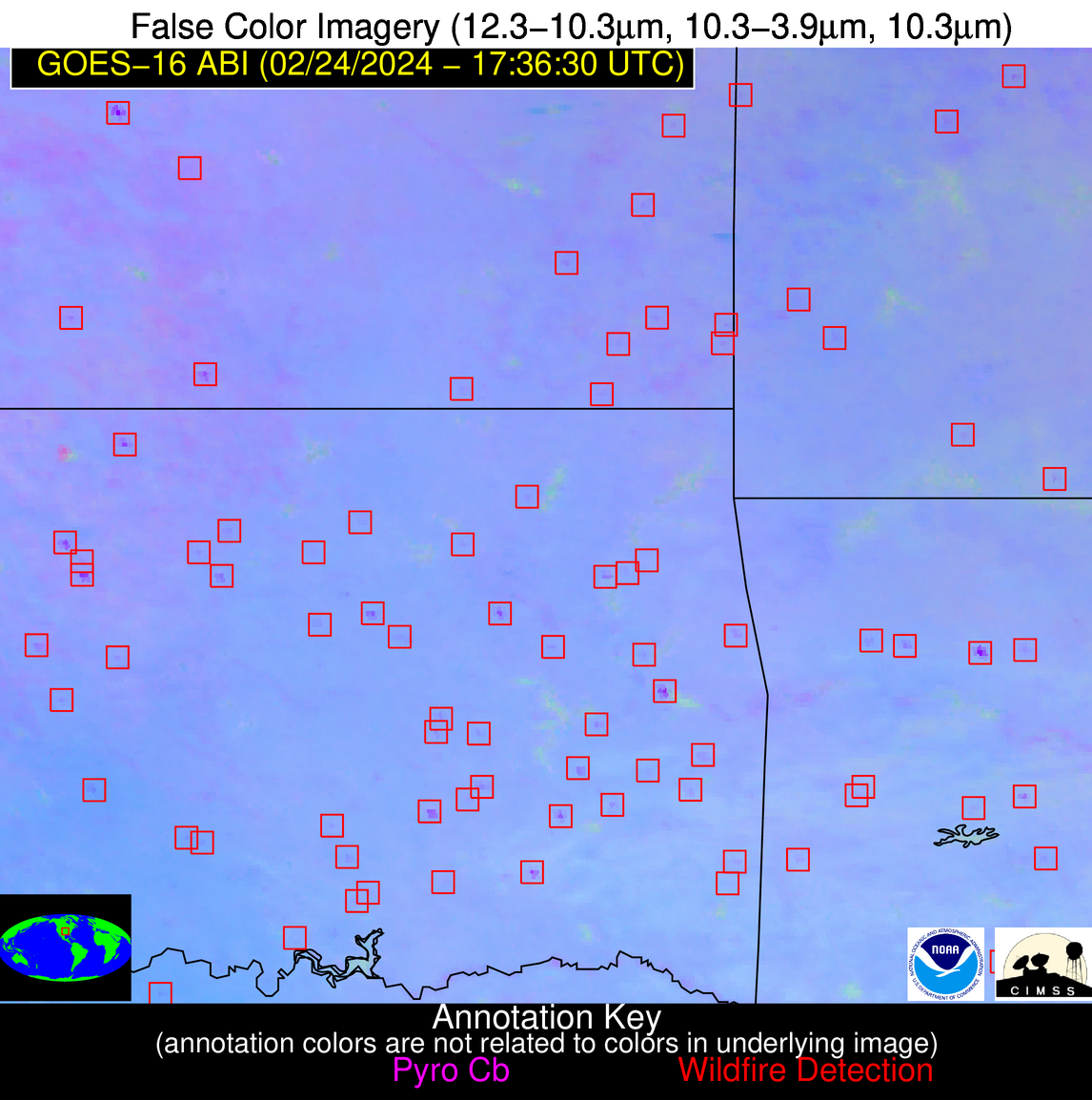
 False Color Image (12-11, 11-3.9, 11) [zoomed-in]

