Please consider accessing NGFS detections and satellite imagery through the NOAA/NESDIS Wildland Fire Data Portal: https://fire.data.nesdis.noaa.gov/map/
Wildfire Notification
Aid: 498724
Notification Type: Possible Wildfire
Date: 2023-03-01 07:24:30
Show details ▲▼
| Basic Information | |
|---|---|
| State/Province(s) | |
| Country/Countries | USA |
| County/Locality(s) | , |
| NWS WFO | |
| Identification Method | Enhanced Contextual (Clear) |
| Mean Object Date/Time | 2023-03-01 07:24:30UTC |
| Radiative Center (Lat, Lon): | 37.050000°, -74.500000° |
| Nearby Counties (meeting notification criteria): |
|
| Total Radiative Power Anomaly | n/a |
| Total Radiative Power | 6.89 MW |
| Map: | |
| Additional Information | |
| Notification Status | New Feature |
| Type of Event | Nominal Risk |
| Event Priority Ranking | 4 |
| Maximum Observed BT (3.9 um) | 287.70 K |
| Observed - Background BT (3.9 um) | 4.26 K |
| BT Anomaly (3.9 um) | 8.59 K |
| Maximum Observed - Clear RTM BT (3.9 um) | 5.22 K |
| Maximum Observed BTD (3.9-10/11/12 um) | 5.14 K |
| Observed - Background BTD (3.9-10/11/12 um) | 4.11 K |
| BTD Anomaly (3.9-10/11/12 um) | 38.32 K |
| Similar Pixel Count | 1 |
| BT Time Tendency (3.9 um) | 4.20 K |
| Image Interval | 2.00 minutes |
| Fraction of Surrounding LWIR Pixels that are Colder | 0.50 |
| Fraction of Surrounding Red Channel Pixels that are Brighter | 1.00 |
| Maximum Radiative Power | 6.89 MW |
| Maximum Radiative Power Uncertainty | 0.00 MW |
| Total Radiative Power Uncertainty | 0.00 MW |
| Mean Viewing Angle | 43.20° |
| Mean Solar Zenith Angle | 138.00° |
| Mean Glint Angle | 105.70° |
| Water Fraction | 1.00 |
| Total Pixel Area | 6.00 km2 |
| Latest Satellite Imagery: | |
-
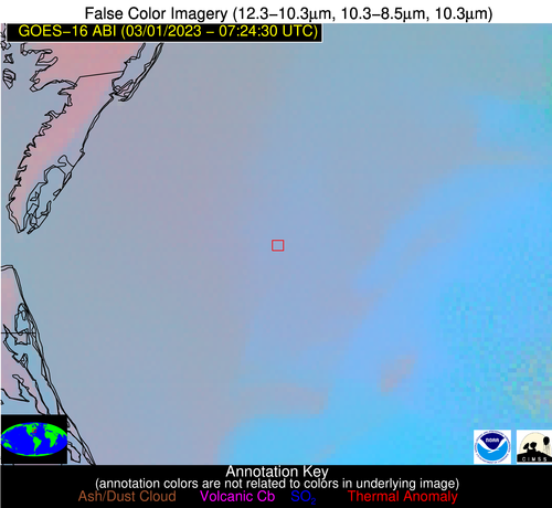 False Color Image (12-11, 11-8.5, 11)
-
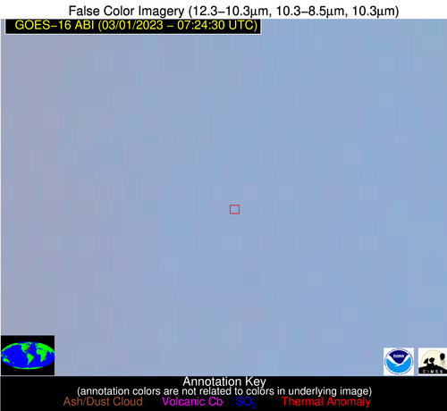 False Color Image (12-11, 11-8.5, 11) [zoomed-in]
-
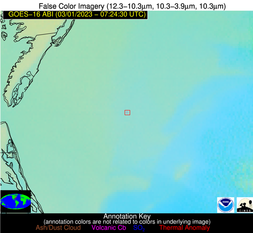 False Color Image (12-11, 11-3.9, 11)
-
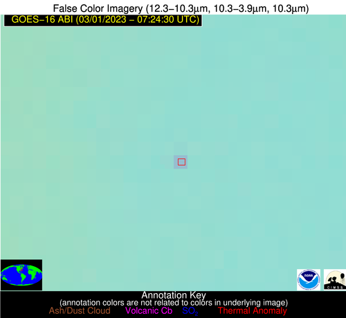 False Color Image (12-11, 11-3.9, 11) [zoomed-in]
-
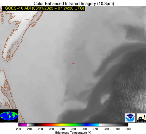 Brightness Temperature (11 um)
-
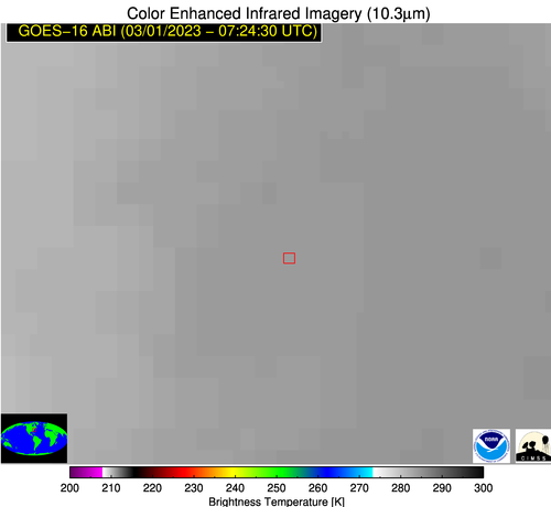 Brightness Temperature (11 um) [zoomed-in]
-
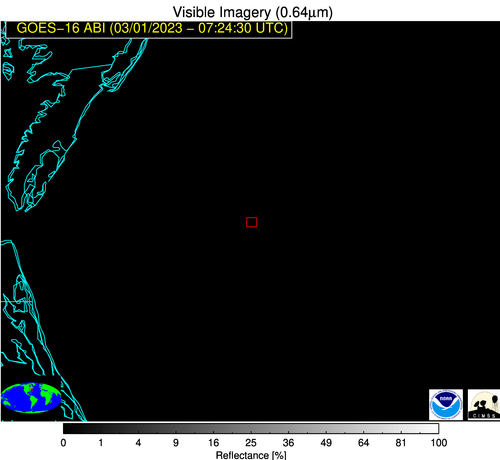 Visible Reflectance (0.65 um)
-
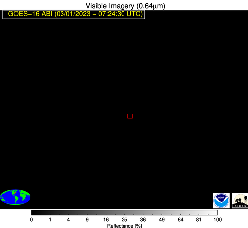 Visible Reflectance (0.65 um) [zoomed-in]
-
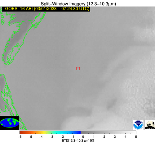 Split-window (12-11 um)
-
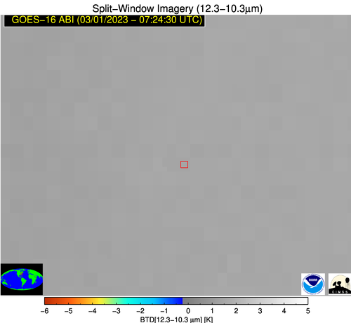 Split-window (12-11 um) [zoomed-in]