Wildfire Alert
Aid: 421000
Alert Type: Possible Wildfire
Date: 2022-08-31 16:01:30
Show details ▲▼
| Basic Information | |
|---|---|
| State/Province(s) | Oklahoma |
| Country/Countries | USA |
| County/Locality(s) | Osage County, Oklahoma |
| NWS WFO | Tulsa OK |
| Identification Method | Enhanced Contextual (Clear) |
| Mean Object Date/Time | 2022-08-31 16:01:50UTC |
| Radiative Center (Lat, Lon): | 36.920000°, -96.420000° |
| Nearby Counties (meeting alert criteria): |
|
| Total Radiative Power Anomaly | n/a |
| Total Radiative Power | 54.01 MW |
| Map: | |
| Additional Information | |
| Alert Status | New Feature |
| Type of Event | Nominal Risk |
| Event Priority Ranking | 4 |
| Maximum Observed BT (3.9 um) | 316.88 K |
| Observed - Background BT (3.9 um) | 6.55 K |
| BT Anomaly (3.9 um) | 3.81 K |
| Maximum Observed - Clear RTM BT (3.9 um) | 14.64 K |
| Maximum Observed BTD (3.9-10/11/12 um) | 14.40 K |
| Observed - Background BTD (3.9-10/11/12 um) | 4.89 K |
| BTD Anomaly (3.9-10/11/12 um) | 5.01 K |
| Similar Pixel Count | 5 |
| BT Time Tendency (3.9 um) | 2.00 K |
| Image Interval | 5.00 minutes |
| Fraction of Surrounding LWIR Pixels that are Colder | 0.99 |
| Fraction of Surrounding Red Channel Pixels that are Brighter | 1.00 |
| Maximum Radiative Power | 30.85 MW |
| Maximum Radiative Power Uncertainty | 0.00 MW |
| Total Radiative Power Uncertainty | 0.00 MW |
| Mean Viewing Angle | 48.50° |
| Mean Solar Zenith Angle | 43.00° |
| Mean Glint Angle | 88.60° |
| Water Fraction | 0.00 |
| Total Pixel Area | 14.10 km2 |
| Latest Satellite Imagery: | |
-
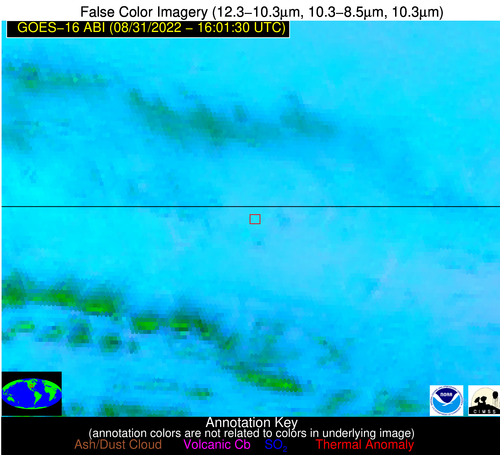 False Color Image (12-11, 11-8.5, 11)
-
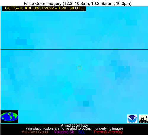 False Color Image (12-11, 11-8.5, 11) [zoomed-in]
-
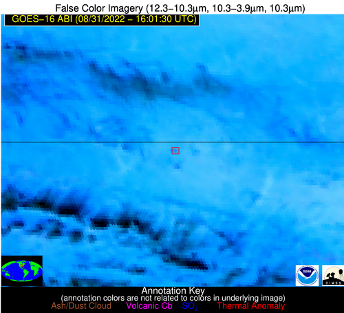 False Color Image (12-11, 11-3.9, 11)
-
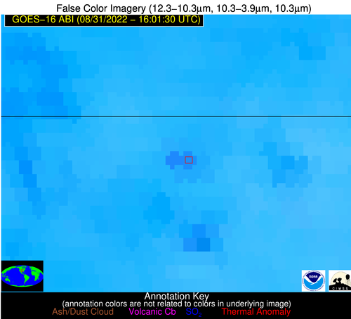 False Color Image (12-11, 11-3.9, 11) [zoomed-in]
-
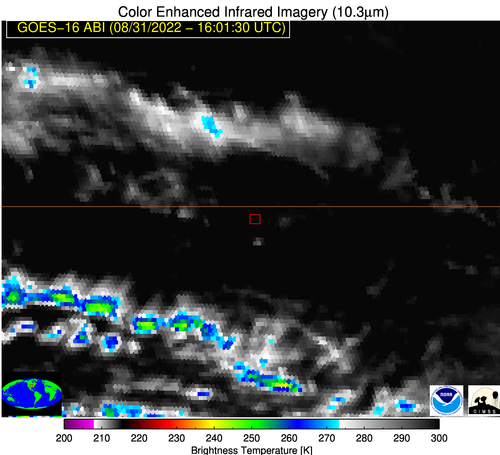 Brightness Temperature (11 um)
-
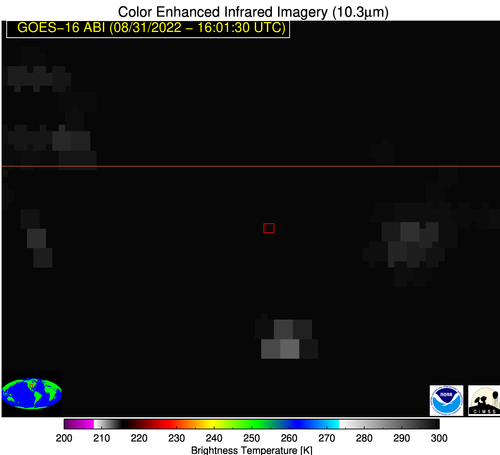 Brightness Temperature (11 um) [zoomed-in]
-
 Visible Reflectance (0.65 um)
-
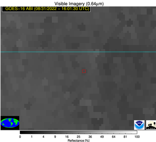 Visible Reflectance (0.65 um) [zoomed-in]
-
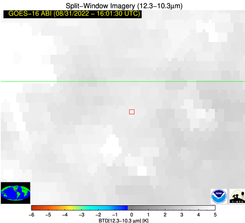
 Split-window (12-11 um)
-
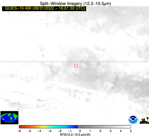
 Split-window (12-11 um) [zoomed-in]
