Jan 2026: Due to an ongoing data center cooling system construction project, NGFS data outages may occur with little or no notice. Bitterly cold air in Madison Jan 22-24 increases risk of outages.
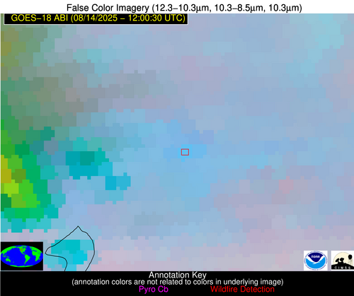
Wildfire Alert
Aid: 1091393
Alert Type: Possible Wildfire
Date: 2025-08-14 12:00:29
Show details ▲▼
| Basic Information | |
|---|---|
| State/Province(s) | WY |
| Country/Countries | United States |
| County/Locality(s) | Hot Springs County, WY |
| NWS WFO | Riverton WY |
| Identification Method | Enhanced Contextual (Bias) |
| Mean Object Date/Time | 2025-08-14 12:00:31UTC |
| Radiative Center (Lat, Lon): | 43.599724°, -107.919724° |
| Nearby Counties (meeting alert criteria): |
|
| Total Radiative Power Anomaly | n/a |
| Total Radiative Power | 779.30 MW |
| Map: | |
| Additional Information | |
| Alert Status | New Feature |
| Type of Event | Nominal Risk, Known Incident: RED CANYON (HIGH, tdiff=0.41627 days, Point) |
| Event Priority Ranking | 4 |
| Maximum Observed BT (3.9 um) | 323.53 K |
| Observed - Background BT (3.9 um) | 37.54 K |
| BT Anomaly (3.9 um) | 26.72 K |
| Maximum Observed - Clear RTM BT (3.9 um) | 38.07 K |
| Maximum Observed BTD (3.9-10/11/12 um) | 35.32 K |
| Observed - Background BTD (3.9-10/11/12 um) | 33.67 K |
| BTD Anomaly (3.9-10/11/12 um) | 31.60 K |
| Similar Pixel Count | 0 |
| BT Time Tendency (3.9 um) | -999.00 K |
| Image Interval | -999.00 minutes |
| Fraction of Surrounding LWIR Pixels that are Colder | 1.00 |
| Fraction of Surrounding Red Channel Pixels that are Brighter | 1.00 |
| Maximum Radiative Power | 437.54 MW |
| Maximum Radiative Power Uncertainty | 0.00 MW |
| Total Radiative Power Uncertainty | 0.00 MW |
| Mean Viewing Angle | 58.50° |
| Mean Solar Zenith Angle | 92.90° |
| Mean Glint Angle | 43.20° |
| Water Fraction | 0.00 |
| Total Pixel Area | 107.10 km2 |
| Latest Satellite Imagery: | |


