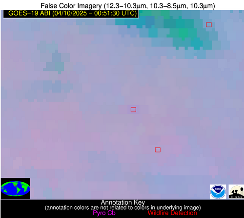
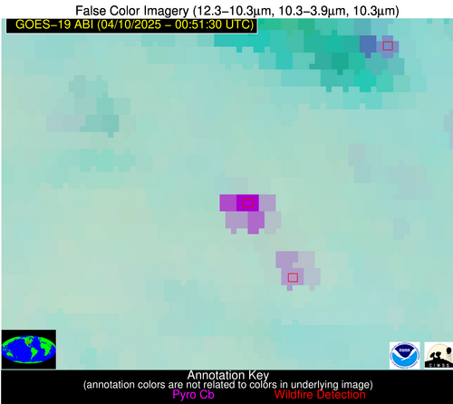
1606 UTC 1/9/2026: UPDATE: Problems related to data center cooling issues are being resolved; but time will be needed for systems to stabilize and data flows to return to normal, until that time, NGFS products will be produced but maybe sporadic/some images will be missed.
Wildfire Alert
Aid: 1012644
Alert Type: Possible Wildfire
Date: 2025-04-10 00:51:17
Show details ▲▼
| Basic Information | |
|---|---|
| State/Province(s) | KS |
| Country/Countries | United States |
| County/Locality(s) | Morris County, KS |
| NWS WFO | Topeka KS |
| Identification Method | Enhanced Contextual (Cloud) |
| Mean Object Date/Time | 2025-04-10 00:51:50UTC |
| Radiative Center (Lat, Lon): | 38.635277°, -96.894997° |
| Nearby Counties (meeting alert criteria): |
|
| Total Radiative Power Anomaly | n/a |
| Total Radiative Power | 307.67 MW |
| Map: | |
| Additional Information | |
| Alert Status | New Feature |
| Type of Event | Elevated SPC Risk |
| Event Priority Ranking | 3 |
| Maximum Observed BT (3.9 um) | 316.42 K |
| Observed - Background BT (3.9 um) | 33.21 K |
| BT Anomaly (3.9 um) | 28.51 K |
| Maximum Observed - Clear RTM BT (3.9 um) | 29.62 K |
| Maximum Observed BTD (3.9-10/11/12 um) | 33.97 K |
| Observed - Background BTD (3.9-10/11/12 um) | 32.74 K |
| BTD Anomaly (3.9-10/11/12 um) | 32.60 K |
| Similar Pixel Count | 0 |
| BT Time Tendency (3.9 um) | 28.40 K |
| Image Interval | 5.00 minutes |
| Fraction of Surrounding LWIR Pixels that are Colder | 0.79 |
| Fraction of Surrounding Red Channel Pixels that are Brighter | 1.00 |
| Maximum Radiative Power | 204.39 MW |
| Maximum Radiative Power Uncertainty | 0.00 MW |
| Total Radiative Power Uncertainty | 0.00 MW |
| Mean Viewing Angle | 50.40° |
| Mean Solar Zenith Angle | 89.60° |
| Mean Glint Angle | 58.70° |
| Water Fraction | 0.00 |
| Total Pixel Area | 12.60 km2 |
| Latest Satellite Imagery: | |


