Visible Infrared Imaging Radiometer Suite(VIIRS) AWIPS IIInstructions for AWIPS II InstallationSpace Science and Engineering Center
|
|
| Project members: Kathy Strabala,Ray Garcia, Scott Bachmeier,Liam Gumley,Jordan Gerth, Kaba Bah | |
| The Space Science and Engineering Center is not continuously staffed. Consequently, data outages and processing issues may result. The products should be considered non-operational. |
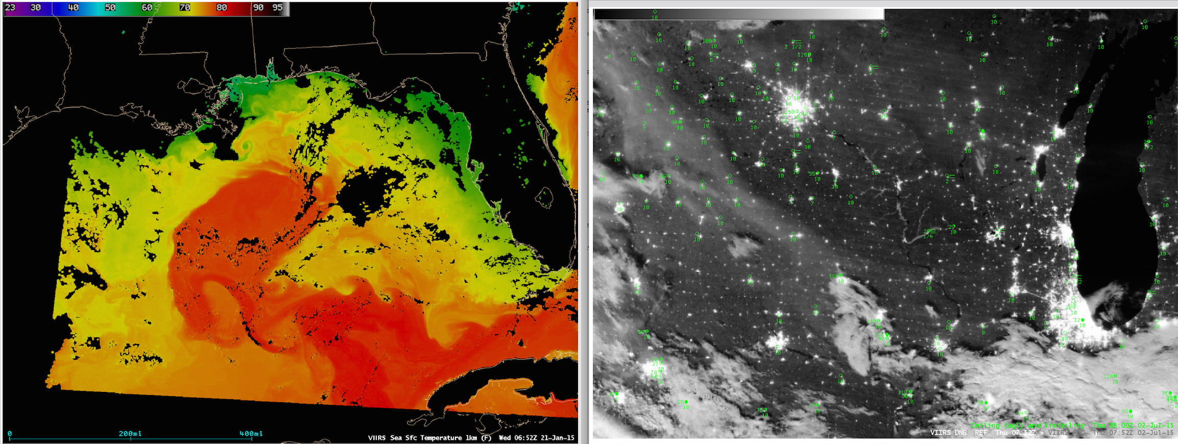
This page contains information for obtaining the Visible Infrared Imaging Radiometer Suite (VIIRS)
for display in AWIPS II.
Data is transmitted in compressed netCDF format on the EXP feed of the Local Data Manager (LDM).
This is not an operational dataset, so unplanned data errors and outages may result.
Contact Jordan Gerth once you are receiving data so we can add your office to the e-mail
announcement list. We value any feedback.
This data is provided as part of the GOES-R Proving
Ground.
For assistance and suggestions on obtaining and using the data in AWIPS, please contact
Jordan Gerth.
These files are subject to change as the software evolves.Visible Infrared Imaging Radiometer Suite (VIIRS):
Announcements
These files are subject to change as the software evolves.
Perform the following actions to configure your Local Data Acquisition and Dissemination (LDAD) server.
In /data/fxa/LDAD/data as user ldad on server px2:
In /awips/ldad/bin as ldad on px2:
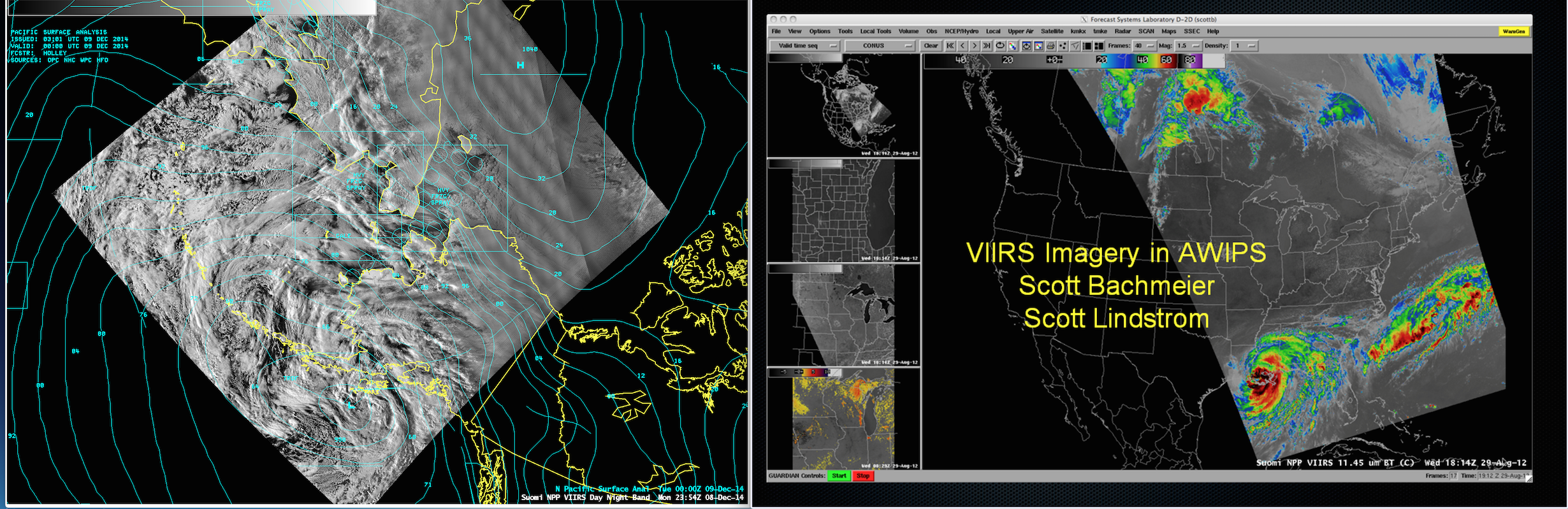
Courtesy of Scott Bachmeier & Kaba Bah (contact)