GEOCAT Low Cloud/Fog Products in D-2DInstructions for AWIPS InstallationSpace Science and Engineering Center
|
|
| Project members: Corey Calvert, Jordan Gerth, Mike Pavolonis (NESDIS), Justin Sieglaff, William Straka | |
| The Space Science and Engineering Center is not continuously staffed. Consequently, data outages and processing issues may result. The products should be considered non-operational. |
Announcements
This data is provided as part of the GOES-R Proving Ground. For assistance and suggestions on obtaining and using the data in AWIPS, please contact Jordan Gerth.
Acquiring Data at a Central Region, Eastern Region, or Southern Region WFO
This page contains information for obtaining GEOCAT products for low cloud/fog forecasting from the current Geostationary Operational Environmental Satellite (GOES) East for display in AWIPS.
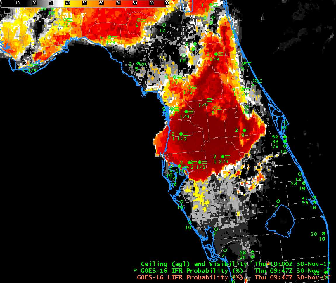
GEOstationary Cloud Algorithm Test-bed (GEOCAT) examples are available.
GOES-East data is currently available to Weather Forecast Offices in Central Region, Eastern Region, and Southern Region. Data is transmitted in compressed netCDF format on the EXP feed of the Local Data Manager (LDM). This is not an operational dataset, so unplanned data errors and outages may result. Contact Jordan Gerth once you are receiving data so we can add your office to the e-mail announcement list. We value any feedback.
Required AWIPS II Customizations
These files are subject to change as the software evolves.
LDAD/Processing Configurations
Perform the following actions to configure your Local Data Acquisition and Dissemination (LDAD) server.
In /data/fxa/LDAD/data as user ldad on server px2:
- Append to LDADinfo.txt
In /awips/ldad/bin as ldad on px2:
- Add preProcessGEOCAT.pl and assign executable permissions
- Execute "stopLDAD.sh;startLDAD.csh" to restart the LDAD service
Main Configurations (processing and visualization servers)
In /awips2/edex/data/utility/ as user awips on dx3 or dx4, where LLL is the WFO identifier:
[I] For the GOES-R plugin to recognize the files:
[II] To process this data using the GOES-R plugin:
- Create a sub directory "eg: CIMSS" under: "/common_static/site/LLL/satellite/goesr/descriptions/CIMSS/"
- Add custom /common_static/site/LLL/satellite/goesr/descriptions/CIMSS/CIMSSCommonDescription.xml
[III] To set up suitable CAVE menus:
- Add custom /common_static/site/LLL/menus/satellite/goesr/goesrCIMSS.xml
- Append to /common_static/site/LLL/menus/satellite/goesr/goesrMenu.xml
[IV] To correctly load products via the new menus:
- Add custom /cave_static/site/LLL/bundles/Goes16MvfrCIMSS.xml
- Add custom /cave_static/site/LLL/bundles/Goes16IfrCIMSS.xml
- Add custom /cave_static/site/LLL/bundles/Goes16LifrCIMSS.xml
- Add custom /cave_static/site/LLL/bundles/Goes16FogDepthCIMSS.xml
- Add custom /cave_static/site/LLL/bundles/Goes16FLSCloudPhaseCIMSS.xml
A zip file is available for download here.
Restart EDEX on dx3 and dx4, then restart CAVE on the lx/na workstations to access the new products from the satellite menu.
Known Pitfalls
- The instructions assume local files in $FXA_CUSTOM_FILES do not have the WFO identifier as the first three characters of the file name (LLL-).
- The satellite menu may be too long. This can be fixed.
If you change LLL-otherSatMenus.txt to LLL-dataMenus.txt in
your /data/fxa/customFiles directory, and at the top of that file add
a line such as,

menu:  "Local Sat"

you can move all the CIMSS/SSEC products to their own menu between
Maps and Help.  Then localize with mainScript.csh -tables.
If problems arise — You may need to run dos2unix on some scripts and files.
Courtesy of CIMSS low cloud/fog product team (contact)