Advanced Very High Resolution Radiometer (AVHRR) AWIPS IIInstructions for AWIPS II InstallationSpace Science and Engineering Center
|
|
| Project members: Scott Bachmeier, Jordan Gerth, Scott Lindstrom | |
| The Space Science and Engineering Center is not continuously staffed. Consequently, data outages and processing issues may result. The products should be considered non-operational. |
This data is provided as part of the GOES-R Proving Ground. For assistance and suggestions on obtaining and using the data in AWIPS, please contact Jordan Gerth.
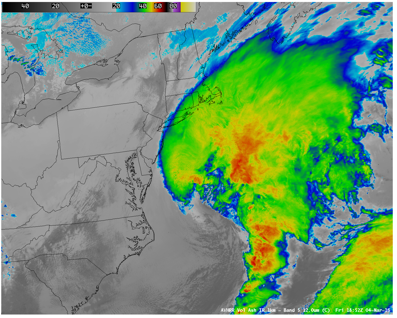
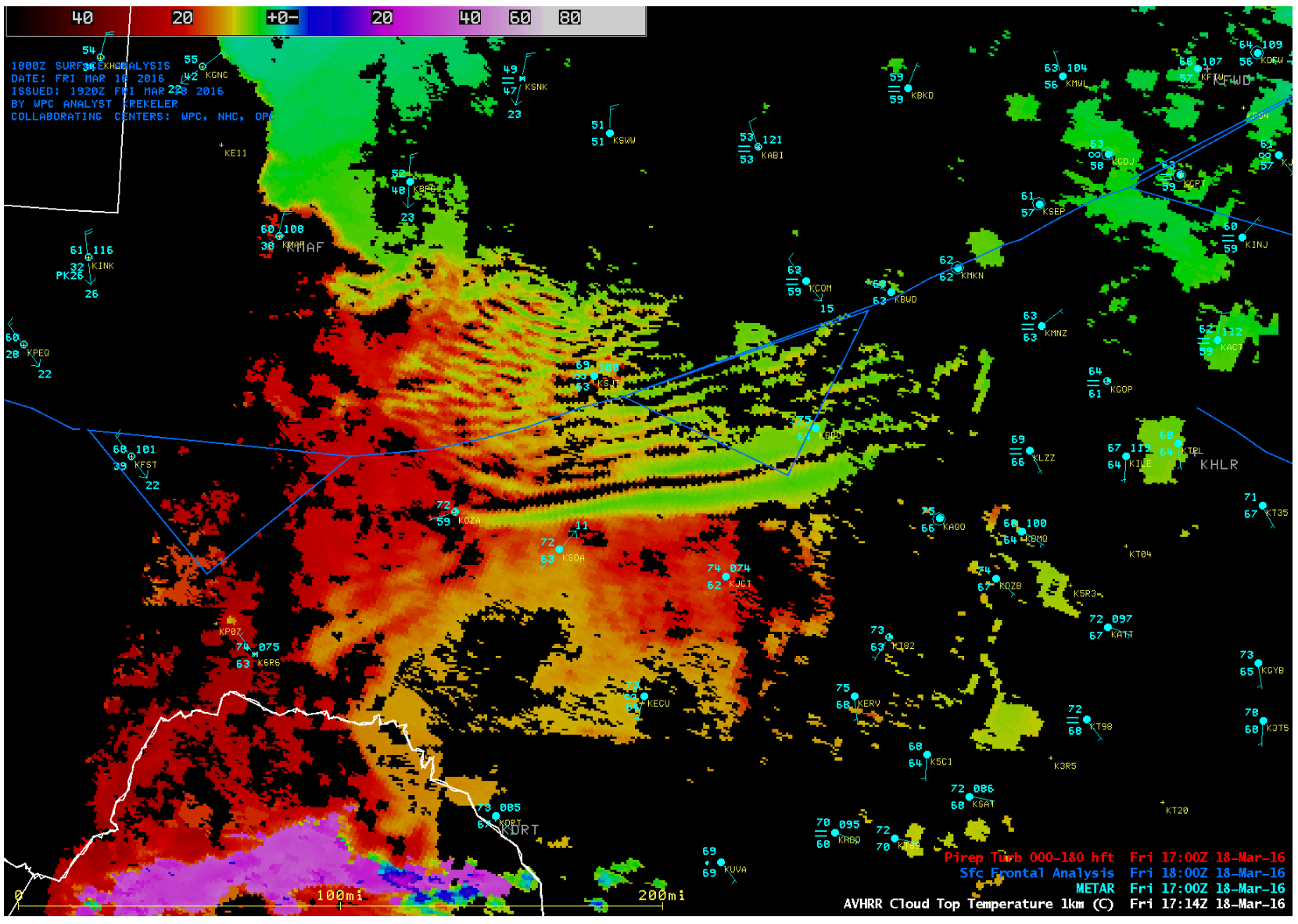
This page contains information for obtaining the Advanced Very High Resolution Radiometer (AVHRR) for display in AWIPS II.
Data is transmitted in compressed GINI (CGINI) format on the EXP feed of the Local Data Manager (LDM). This data is nearly identical in format to the NOAA polar orbiter AVHRR imagery that was approved for transmission via NOAAPORT. We have been careful to work with NESDIS to produce this imagery in a similar routine to how it would have been created prior to broadcast over NOAAPORT. NOAA was unable to deliver this data due to bandwidth constraints on the ground. Because the delivery method (via LDM) is different than proposed in the TIN,this is not an operational dataset, so unplanned data errors and outages may result.
The LDM feed of the CGINI data from CIMSS/SSEC contains additional data from NOAA-15 and NOAA-19 not referenced in the TIN. Thus, data will be more frequent than stated in the TIN
These files are subject to change as the software evolves.
Perform the following actions to configure your Local Data Acquisition and Dissemination (LDAD) server.
In /data/fxa/LDAD/data as user ldad on server px2:
In /awips/ldad/bin as ldad on px2:
Courtesy of Scott Bachmeier & Kaba Bah (contact)