CIMSS/SSEC
Satellite Products Development
for the
Advanced Weather Information Processing System (AWIPS)
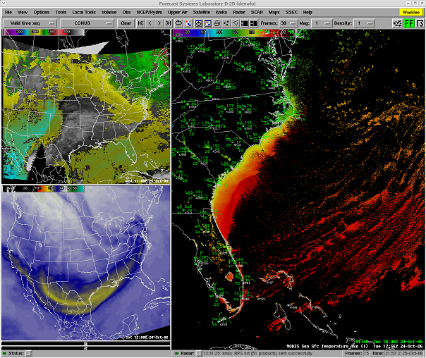
| MODIS MODerate resolution Imaging Spectroradiometer |
| CRAS CIMSS Regional Assimilation System |
| CRAS GRIB2 CIMSS Regional Assimilation System Complete Model Output |
| GOES Sounder Geostationary Operational Environmental Satellite Sounder |
| AVHRR Advanced Very High Resolution Radiometer |
| CIN Convective Initiation Nowcasting |
| CCDNM CIMSS Convective Development Nearcasting Model |
| MIMIC-TPW Morphed Integrated Microwave Imagery at CIMSS Total Precipitable Water |
| GEOCAT - Alaska GEOstationary Cloud Algorithm (Cloud and Ash Hazards for Aviation) |
| GEOCAT - West CONUS GEOstationary Cloud Algorithm (Cloud and Ash Hazards for Aviation) |
For more information, contact Jordan Gerth.