So what happened? 8 April 2019
While you may have found other interesting things, here's what the case designer saw:
There was convection in the southeast as a large storm was wrapping up. Hard to tell from the provided data if it included severe weather.
Skies were mostly clear in Kansas, but the fires there, while relatively low activity, were very numerous and eventually built up a lot of smoke. You could see that beginning in band 1 in particular. In Southwest Missouri that night the skies were relatively cloud free to start but it would have been smokey near the ground - the weak fires couldn't inject the smoke too high so much would have remained in the boundary layer and with nothing to scour it out, it would move into Missouri, Oklahoma, and Arkansas, potentially leading to respiratory issues.
Loops of ABI bands, true color product, and fires product from 20-24 UTC (fires product runs from 10 to 24 UTC): (links to mp4s)
Band 1
Band 2
Band 3
Band 4
Band 5
Band 6
Band 7
Band 8
Band 9
Band 10
Band 11
Band 12
Band 13
Band 14
Band 15
Band 16
True color loop
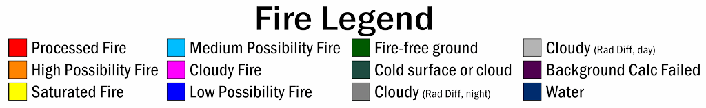
Fires loop, legend below
CIMSS Satellite Blog entry on this case
Original loops:
Loops of ABI bands, true color product, and fires product: (links to mp4s)
Band 1
Band 2
Band 3
Band 4
Band 5
Band 6
Band 7
Band 8
Band 9
Band 10
Band 11
Band 12
Band 13
Band 14
Band 15
Band 16
True color loop
Fires loop, legend below