15-16 June 1998 -- Catalina Eddy Off the Southern California Coast
|
|
|
|
|
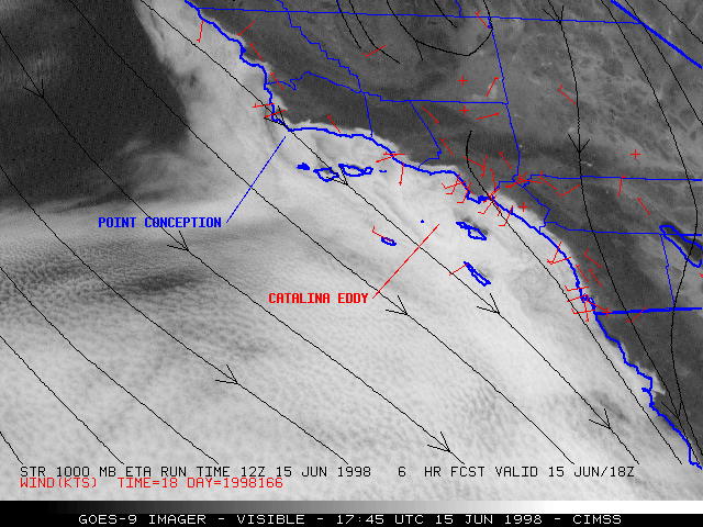
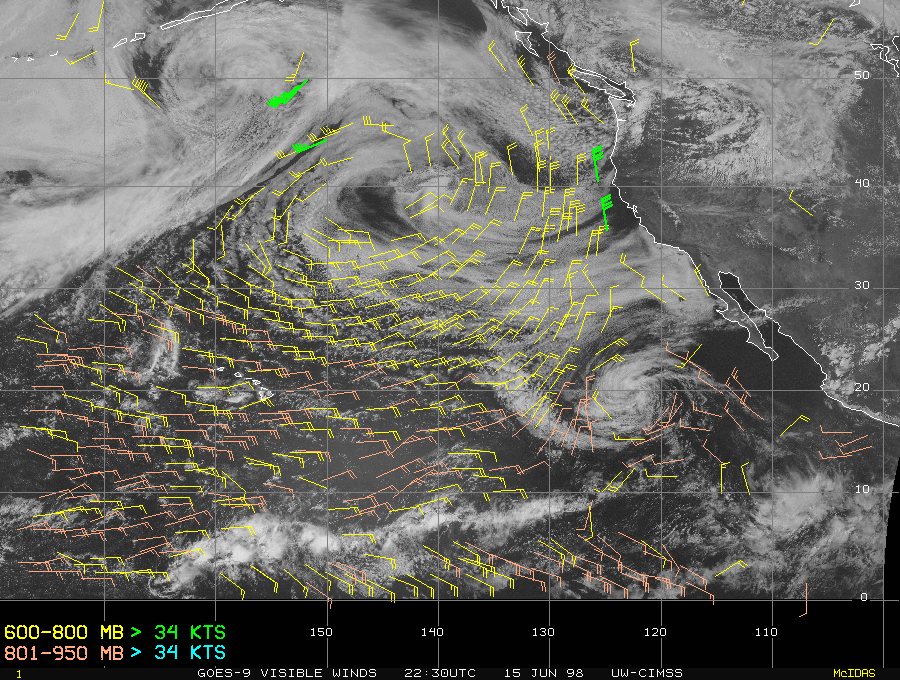
The GOES-9 visible imagery (above) shows a "Catalina Eddy" circulation just off the southern California coast. This eddy began to form on 15 June 1998, as northerly low-level flow off Point Conception began to interact with the complex topography of the southern California coastline. Note the normal fog and stratus along the coast, which retreated toward the ocean as the day progressed.
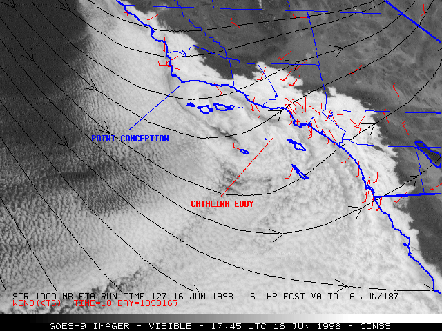
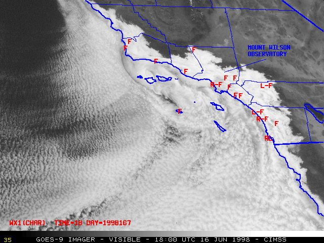
The eddy circulation intensified on 16 June and helped to induce a persistent onshore flow of marine air into the coastal counties during the entire day. Fog, drizzle, and rain was reported at several stations across the region. Fog was even reported at the Mount Wilson Observatory (in the San Gabriel Mountains northeast of Los Angeles), indicating that the depth of the marine layer reached the 6000-foot level.
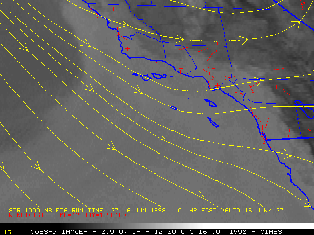
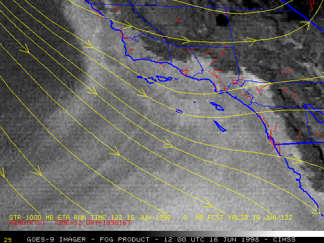
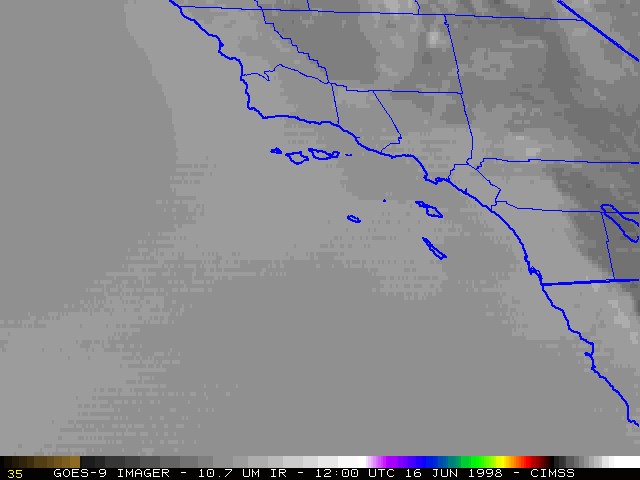
GOES-9 3.9 micron shortwave IR and fog product images (below) show hints of the eddy circulation as it intensified during the overnight hours (before sunrise on 16 June). The inland spread of fog and stratus clouds is more easily seen on the fog product images. Both the shortwave IR and the fog product showed better structure in the offshore stratus clouds than was revealed by the 10.7 um longwave IR.
As shown by the 1000 hPa wind streamlines, the analyses and 6-hour forecasts from the ETA model did not appear to have a good handle on the development and intensification of this mesoscale feature.
|
|
