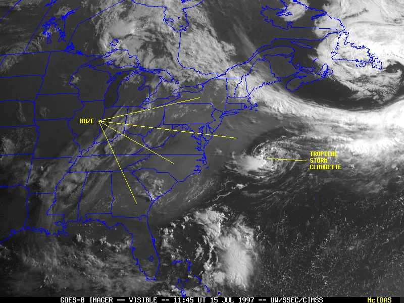
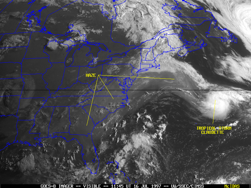
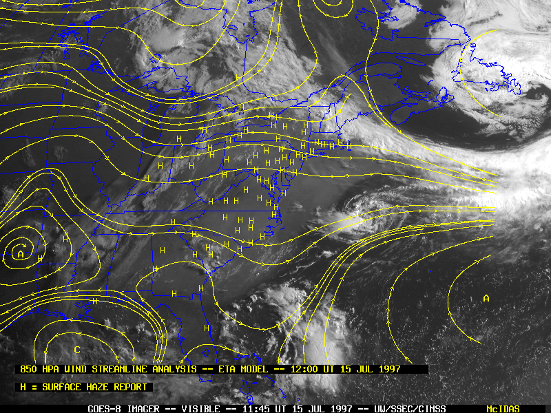
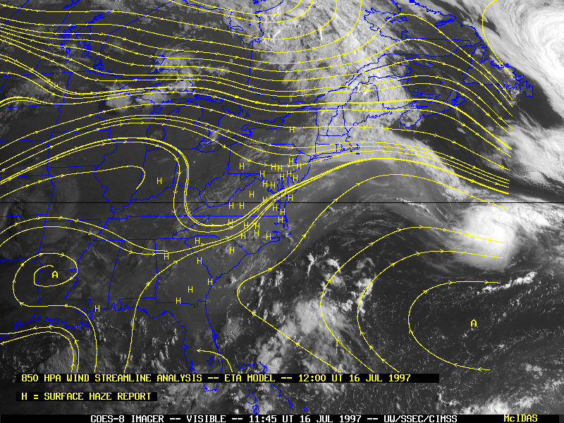
Extensive haze developed along the Atlantic coast states during 15-16 July, and drifted slowly eastward out over the Atlantic. Note how a "bubble" of haze-free air surrounds Tropical Storm Claudette on 15 July, while northern portions of the haze plume become entrained into the circulation of Claudette on 16 July.
This haze pall formed as anthropogenic pollutants became trapped within the lowest few kilometers of the troposphere by synoptic-scale subsidence associated with a persistent anticyclone over the southern U.S. and the circulation of Tropical Storm Claudette. Hot, humid and hazy conditions plagued much of the East Coast states, and several heat advisories and excessive heat warnings were issued for heat indices in the 100-110 F (37-43 C) range. Air quality was poor in many urban areas.