|
|
|
|
|
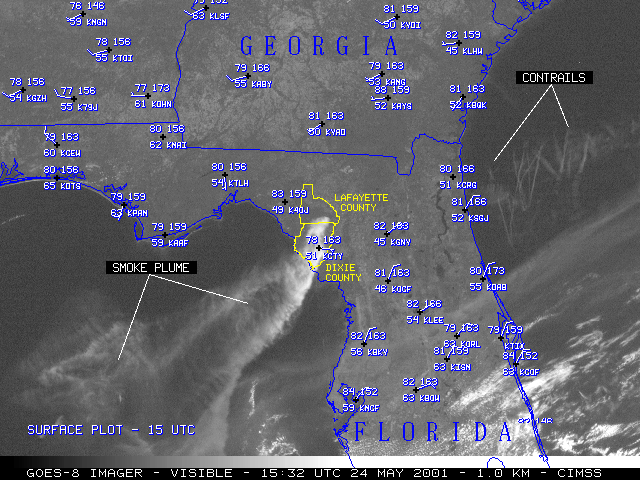
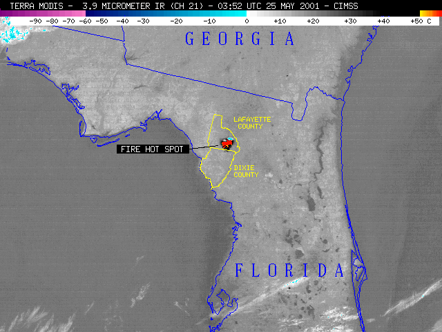
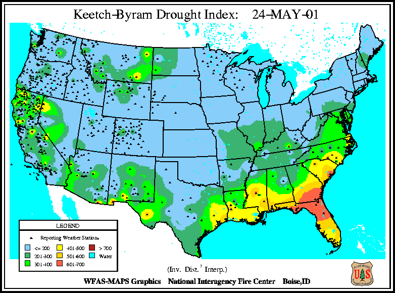
During May 2001, long-term drought conditions persisted across much of Florida and the southeastern US. NOAA GOES-8 visible channel imagery (above, left) shows the large smoke plume originating from fires burning in Dixie and Lafayette counties (outlined in yellow) in northern Florida on 24 May 2001. The Terra MODIS shortwave IR image (above, right) a few hours later reveals a very large hot spot (brightness temperatures +50 C and warmer, yellow to red enhancement) where fires are actively burning. This fire complex began on 16 May in the Mallory Swamp area, and had burned about 20,000 acres by the morning of 25 May.
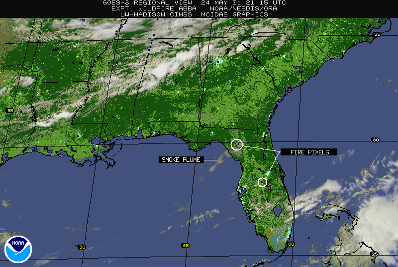
The experimental GOES-8 Wildfire ABBA product (below) identified numerous fire pixels associated with the Dixie/Lafayette complex, as well as other smaller fires burning across the southeastern US on 24-25 May. Real-time Wildfire ABBA products and animations for Florida and the southeastern US region can be found here.
|
|
|
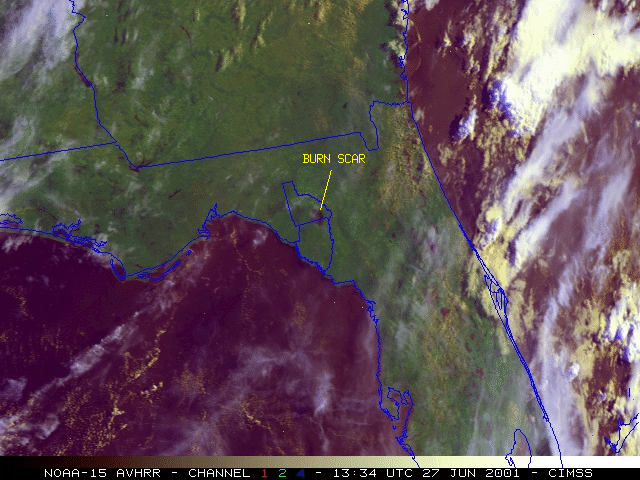
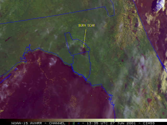
NOAA-15 AVHRR multispectral false-color images (above) show the large burn scar over a month later (27 June 2001).

