15 June 2000 | First GOES-11 Infrared Full Disk Images

GOES-11 Imager Full Disk IR Window - Click to enlarge

GOES-11 Imager Full Disk IR Window
Channel 4 (10.7um)

GOES-11 Imager Full Disk Water Vapor - Click to enlarge

GOES-11 Imager Full Disk Water Vapor
Channel 3 (6.8um)

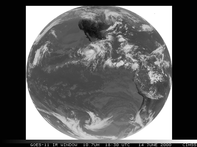
GOES-11 was launched on 03 May 2000, and is in the process of being checked out by teams from NASA and NOAA. These examples show the first infrared full disk images from the GOES-11 Imager at 18:30 UTC on 14 June. One of the most prominent features that day was Tropical Storm Bud, located off the southwest tip of the Baja California peninsula. Closer views of T.S. Bud are shown below, with IR channel comparisons from GOES-8 (at 17:45 UTC) and GOES-10 (at 18:00 UTC). All data are shown in their respective satellite projections.

GOES-11 Imager Compared to 8/10 SW IR - Click to enlarge

GOES-11 Imager Compared to GOES-8/10
Short Wave - Channel 2 (3.9um)

GOES-11 Imager Compared to 8/10 Water Vapor - Click to enlarge

GOES-11 Imager Compared to GOES-8/10
Water Vapor - Channel 3 (6.8um)

GOES-11 Imager Compared to 8/10 IR Window - Click to enlarge

GOES-11 Imager Compared to GOES-8/10
Infrared Window - Channel 4 (10.7um)

GOES-11 Imager Compared to 8/10 LW IR - Click to enlarge

GOES-11 Imager Compared to GOES-8/10
Long Wave - Channel 5 (12.0um)

GOES-11 Imager full disk all band java loop - Click to View

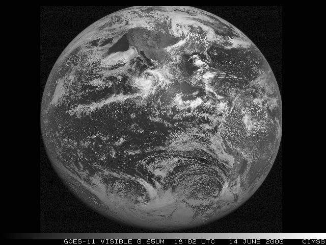
GOES-11 Full Disk Image


Learn more about GOES-11 at the CIMSS GOES-11 Science Test Page

Address any questions or comments to the GOES WebMasters

Click here to go Back to the CIMSS GOES Gallery