
Wild Weather

Thunderstorms - I
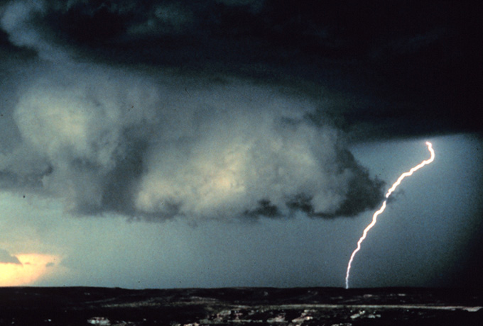
A thunderstorm is a cumulonimbus cloud that produces lightning and thunder. Lightning causes more deaths in the United States than tornadoes or hurricanes. In Wisconsin, straight-line winds from a collapsing cumulonimbus storm or a line of fast moving thunderstorms are responsible for more damage and deaths on an annual basis than tornadoes. Detecting and monitoring thunderstorms is obviously a critical component of satellite meteorology.
GOES Sounder Data & Lifted Index
Before a cumulonimbus cloud develops, meteorologists look at GOES sounder
data to identify areas of the atmosphere ripe for severe weather. Once convection becomes
apparent on visible satellite images in the form of rapidly developing cumulus clouds,
meteorologists monitor the area closely. They look at water vapor images to
see if the storm is below a jet stream or how much moisture might be available to
feed the storm. They monitor IR images to glean additional information
during the daytime or when the sun is low in the sky (or set) and reflected light
isn't readily available for visible satellite images.
GOES sounder data is used to observe atmospheric stability before storms become severe.
An animation of atmospheric stability in the form of the lifted index is
shown below. Increasingly negative lifted indices indicate increasing instability.
The red color coded lifted index values (-8 to -13) are the most unstable in these
images. Notice these red pixels over northern Wisconsin after 1800 UTC. These values
were associated with a tornado that hit Ladysmith Wisconsin that afternoon.
| 2 / 15 |