Wild Weather

Tornadoes - I
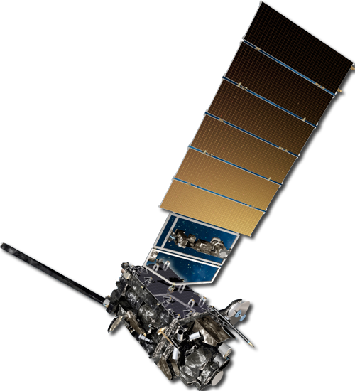
Since tornadoes form from the bottom of a thunderstorm, a satellite can't "see" tornadoes.
However, pre-tornadic conditions such as overshooting tops on visible and IR images
or an unstable atmosphere depicted by satellite sounder profiles are always available.
To look at a storm from the surface up to the bottom of a cloud, meteorologists rely
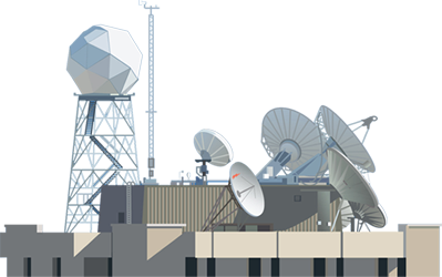
on another remote sensing device that detects microwave energy, or weather radars. Radar is
an acronym for "radio detection and ranging." Radar was developed
to detect objects and determine their range (or position) by transmitting
short bursts of microwaves. The strength and origin of "echoes" from objects hit by
the microwaves is received by computers attached to the originating radar and monitored
by meteorologists. A Doppler radar can detect wind speed and direction,
rotation often signifies tornadic development.
Once a tornado is detected, both radars and satellites are used to track the storm.
Satellite images often show details of tornado damage, especially from high resolution
POES images as seen below.
Fade between before and after images to see the path of the Siren tornado in northern
Wisconsin from 2001. Traveling from west to east, the twister killed three people,
destroyed homes, uprooted trees, and flattened crops.
 Use your mouse or finger and slide across the image to fade between the different images.
The first image shows green crops as they would typically appear in satellite images.
The second image, taken after the storm passed through, features a bright white line directly through the center.
This line outlines the path of the tornando by illustrating where vegetation was flattened by the storm.
The flattened vegetation reflects more light and appears white in the second satellite image.
| 12 / 15 |


