
2
Weather Satellites and Orbits

Visible and Infrared Image Examples I
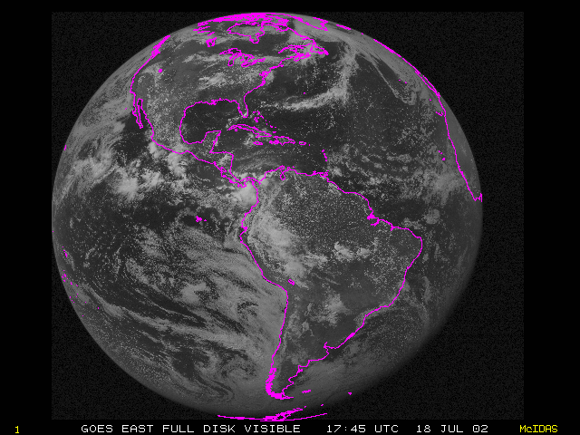
GOES Images
An advantage of GOES is that it provides a view of the weather over a hemisphere. Below is a GOES view of the Western Hemisphere at 17:45 UTC on 18 July 2002. (What is UTC?)
GOES satellite provide visible and infrared images. Below is an animation fades between two images from the GOES satellite, both showing the same geographical area from the same time on 26 September 2002 (near sunset). When you move your pointer to the left, you'll see a visible image and when you move to the right, you'll see an infrared image.
What do you notice is different about the two images?
| 7 / 11 |