Climatology
» Satellite Observations of Climate Systems
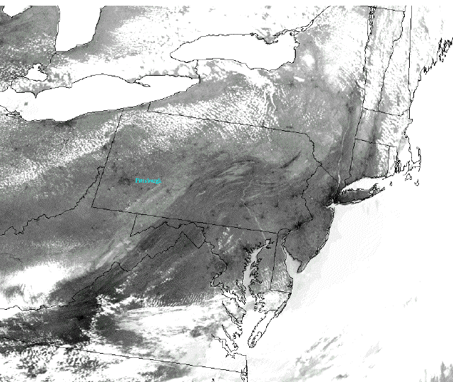
1) Urban Heat Islands Cloud-free infrared satellite images readily depict the location of many cities. Test your geography skills with this activity, to help you orient yourself a map has been overlain on the image.
Click on the image to begin.
|
2) Get instant feedback on your answers to the following questions: |