Sources of Real-Time Water Vapor Imagery
GOES-8
|
GOES-10
|
Meteosat
|
GMS
|
DMSP SSM/I
|
Composites
|
Winds
(** = Temporarily Discontinued)
GOES-8 (GOES East)
University of Wisconsin/Space Science and Engineering Center
|
(3-hour Java animation)
University of Wisconsin/Cooperative Institute for Meteorological Satellite Studies
NCAR/UCAR Research Applications Program
NOAA/NESDIS Satellite Services Division
|
CoastWatch sectors
|
Puerto Rico sector
Naval Research Laboratory - Monterey
Ohio State University
Purdue University
Texas A&M
NASA Marshall Space Flight Center
Colorado State University
|
Full Disk
|
N. Hemis.
University of Illinois at Urbana-Champaign (gopher listing)
NASA Ames Research Center
NASA Goddard Space Flight Center
GOES-10 (GOES West)
University of Wisconsin/Space Science and Engineering Center
|
(3-hour Java animation)
University of Wisconsin/Cooperative Institute for Meteorological Satellite Studies
NWS Western Region HQ
|
16-km sector
|
4-km sector
RAMSDIS Online
Texas A&M
NOAA/NESDIS Satellite Services Division
|
Alaska sector
|
Hawaii sector
Naval Research Laboratory - Monterey
|
PACUS
|
Full Disk
|
S. Hemis.
Ohio State University
Purdue University
University of Utah
NASA Marshall Space Flight Center
Colorado State University
|
Full Disk
|
N. Hemis.
University of Illinois at Urbana-Champaign (gopher listing)
NASA Ames Research Center
NASA Goddard Space Flight Center
METEOSAT-6
University of Wisconsin/CIMSS
Naval Research Lab - Monterey
University of Nottingham
Full Disk
|
E1
|
E2
|
E3
|
E4
|
E5
|
E6
|
E7
|
E8
sector
GMS-5
University of Wisconsin/CIMSS
Naval Research Lab - Monterey
NASA Ames Research Center
DMSP SSM/I
SSM/I images courtesy of the NOAA Ocean Physical Processes Team:
Ascending Passes:
00
|
06
|
09
|
12
|
15
|
18
|
21
UTC
Descending Passes:
00
|
06
|
09
|
12
|
15
|
18
|
21
UTC
Global composite of Total Precipitable Water Vapor:
Ascending pass
|
Descending pass
|
(archive)
North Atlantic composite of Total Precipitable Water Vapor:
Ascending pass
|
Descending pass
North Pacific:
daily averaged Total Precipitable Water Vapor
|
(archive)
Great Lakes region ascending passes:
00
|
06
|
12
|
18
UTC
Great Lakes region descending passes:
00
|
06
|
12
|
18
UTC
SSM/I images courtesy of the NASA/GSFC Global Hydrology Resource Center:
Daily swath integrated water vapor:
DMSP F13 archive
|
DMSP F14 archive
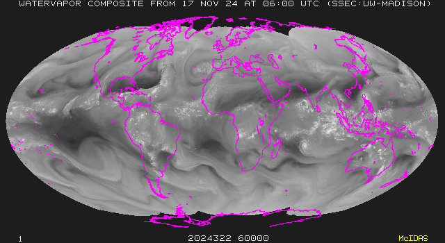
Composite water vapor imagery
GOES-9/GOES-8/METEOSAT-6/GMS-5
(University of Wisconsin/SSEC)
GMS-5/GOES-9/GOES-8
(University of Wisconsin/CIMSS)
GOES-8/METEOSAT-6/GMS-5
(University of Wisconsin/CIMSS)
GOES-9/GOES-8
Sounder Channel 11
(University of Wisconsin/CIMSS)
GOES-9/GOES-8
(University of Illinois at Urbana-Champaign)
GOES-9/GOES-8
|
(Java animation)
(Unidata)
Water vapor winds
GOES-8 high-density water vapor winds
(University of Wisconsin/CIMSS)
GOES 8/9 high density water vapor winds
(NOAA/NESDIS/FPDT)
GMS-5 high-density water vapor winds
(University of Wisconsin/CIMSS)
GOES-8
|
GOES-9
|
Meteosat
|
GMS
|
DMSP SSM/I
|
Composites
|
Winds
(** = Temporarily Discontinued)
Back to CIMSS Water Vapor Imagery Tutorial