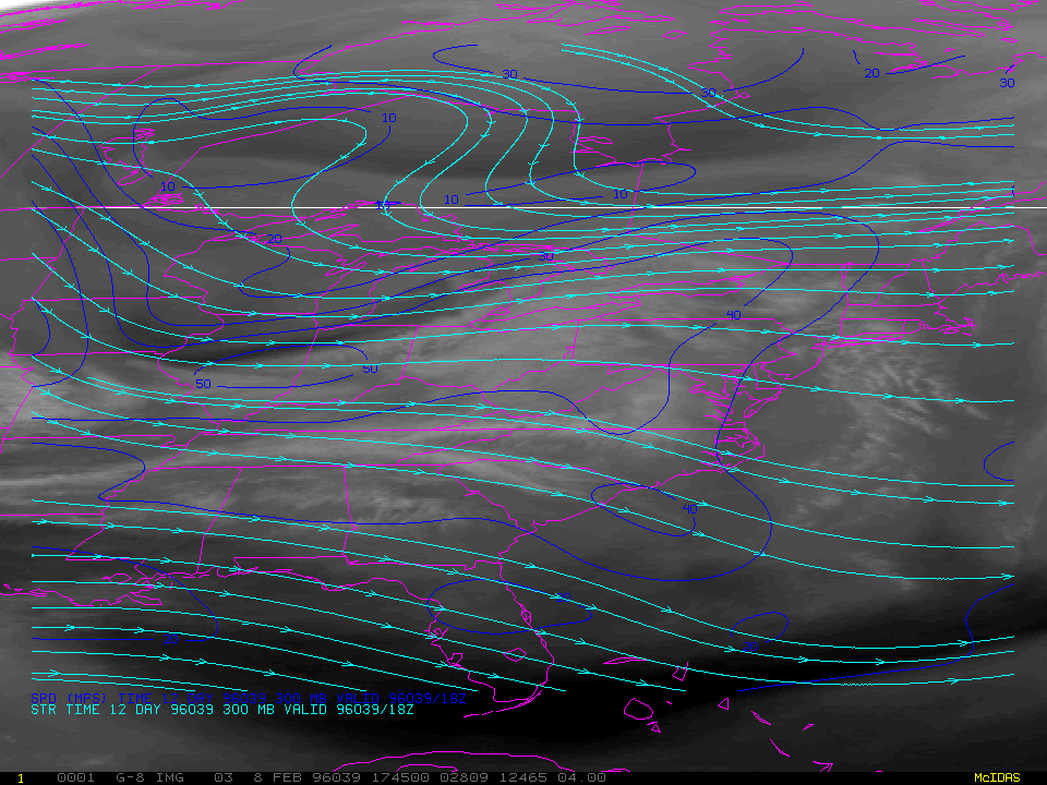
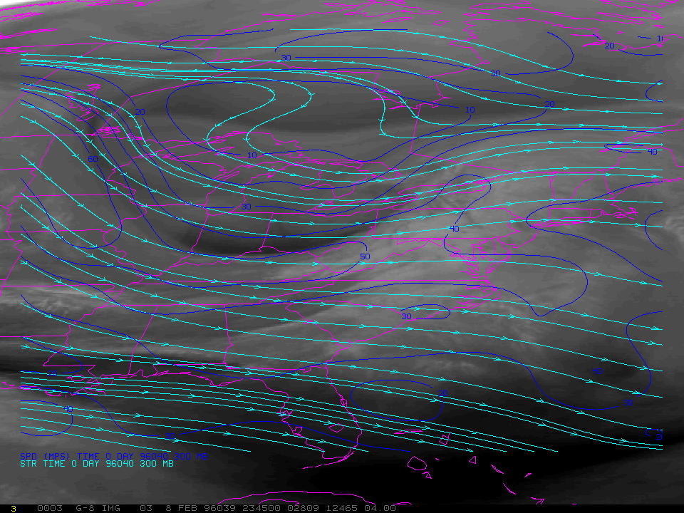
A shortwave and associated cold front were approaching the central Applalchians and mid-Atlantic states late in the day on 08 February 1996. GOES-8 water vapor animation showed evidence of increasing upper-level diffluence over that region, followed by rapidly cooling cloud tops over West Virginia with the arrival of a 50 mps jet streak. NCEP QPF guidance had targeted the central Appalachians and New England for 24-hour precipitation totals of 0.25 inches or less, but rainfall amounts of 0.50 to just over 1.00 inch were recorded with the passage of this system across West Virginia (23:00 UT national radar composite).