04 November 1995 -- Lake Effect Snow
GOES-8 Sounder Derived Product Image -- Precipitable Water
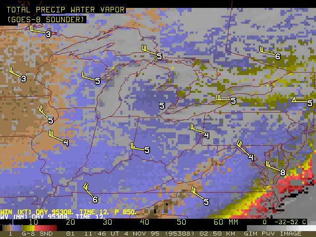
GOES-8 Sounder Derived Product Image -- Precipitable Water
|
|
GOES-8 Sounder Derived Product Image -- Precipitable Water
|
