31 March - 01 April 1997
New England "Blizzard of '97"
GOES-8 IR Channel 4 (MB curve)
|
IR Channel 3 (water vapor)
|
|
GOES-8 IR Channel 4 (MB curve)
|
IR Channel 3 (water vapor)
|
- Surface low over VA bombed out as it lifted northward to just off New England coast
- Moist Atlantic inflow (50 knots at 850 hPa)
- Upper level diffluence, height falls, CAA sustained heavy snow
- Orographic enhancements
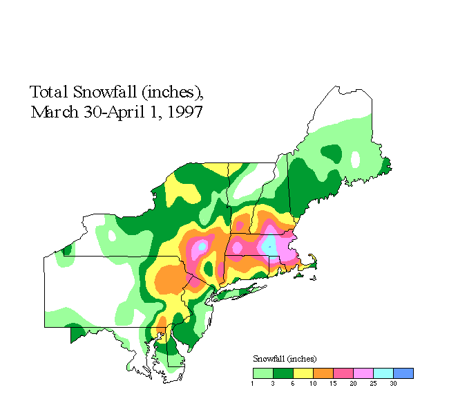
- 21-37 inches from PA/NJ to New England
- Winds 50-72 mph
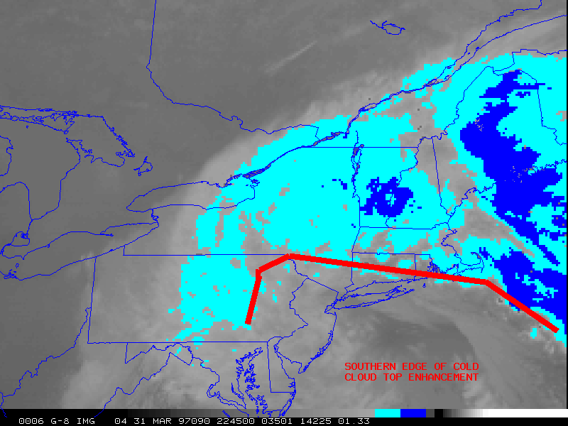
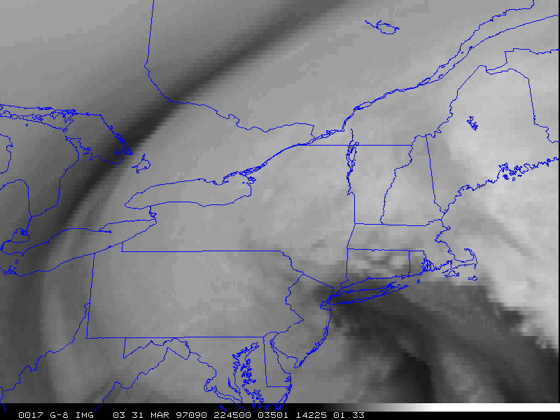
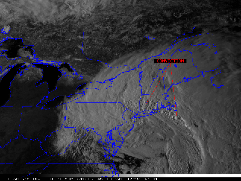
Note the position and movement of the southern edge of the cold cloud top enhancement on the IR animations. The E-W portion of the southern edge persisted across southern New England (southeastern NY into MA/CT/RI) during the entire 15-hour animation time period. Snowfall amounts within about 1 degree latitude north of this line were in the 15-30 inch range. Also significant was the "scalloped" appearance of the moist edge on water vapor imagery, and the textured appearance in the visible imagery, indicating convection feeding into the southern edge of the heavy snow region and reinforcing precipitation rates. The southern edge of the cold cloud top enhancement rotated southeastward across eastern PA into NJ. The sustained motion of the boundary along with the lack of convection feeding into the heavy snow band resulted in lower snowfall totals (generally 6-15 inches).
Additional details of this storm can be found at NCEP/HPC.
|
|
