|
|
|
|
|
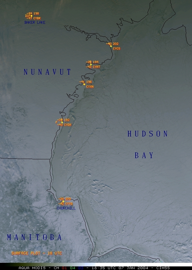
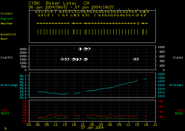
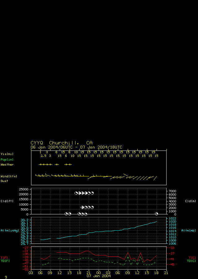
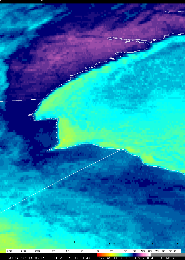
Cold temperatures were experienced in central Canada on 07 January 2004, as Baker Lake, Nunavut (station ID CYBK) recorded their first -50 F [-45.6 C] minimum temperature of the winter season (following a high temperature on the previous day of -44 F [-42.2 C]). Churchill, Manitoba (station ID CYYQ) recorded a minimum temperature of -44 F (-42.2 C) on the morning of 07 January.
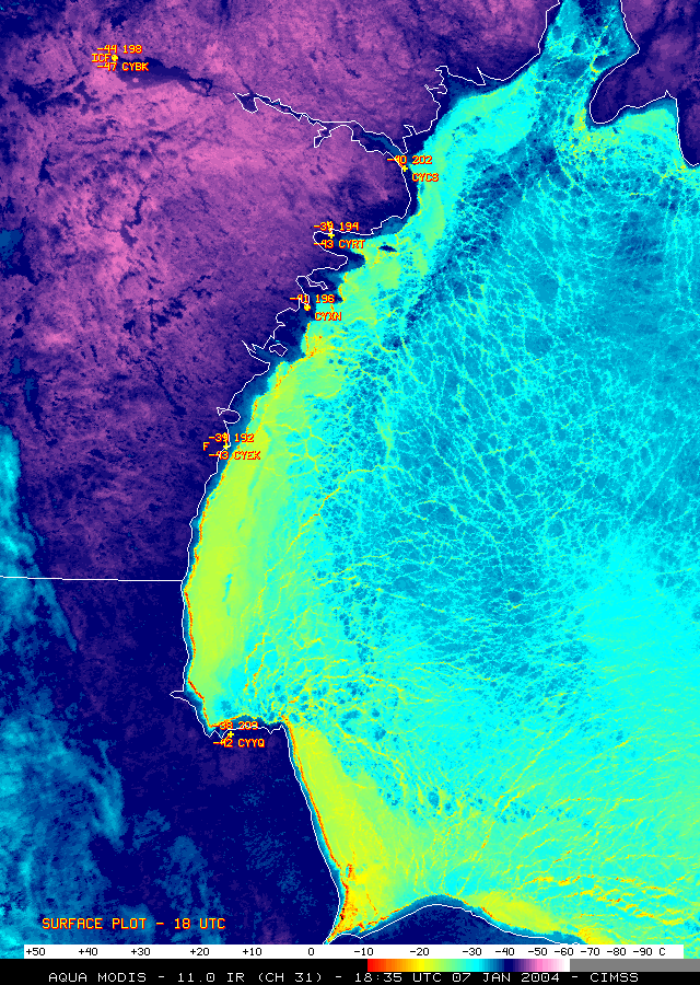
The daytime clear-sky Aqua MODIS 3-channel composite ("true-color") image (above, left) shows that the western portion of Hudson Bay is nearly completely frozen. The 11.0 micrometer longwave InfraRed (IR) image (above, right) reveals significant variability in the amount of heat radiating from the ice surface, especially along the western edge of Hudson Bay, where warmer brightness temperatures (-10 to -20 C, red to yellow enhancement) are seen -- these differences in temperature are due to variations in ice thickness, and therefore differences in the amount of heat conducted through the ice surface from the warmer water below. Surface brightness temperatures as cold as -58 F (-50 C, violet enhancement) are evident across much of the northwestern portion of the image (compared to temperatures as cold as -54 C [-48 C] using the GOES-12 IR channel).

