|
|
|
|
|
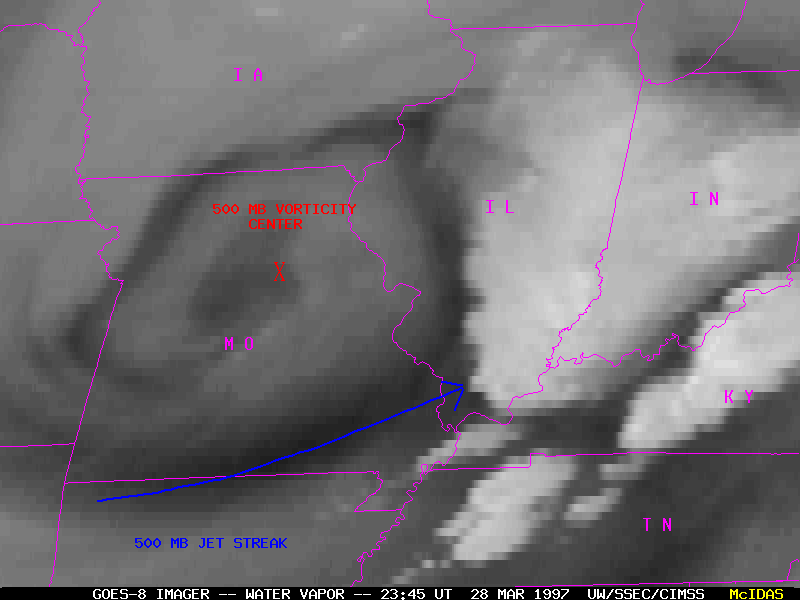
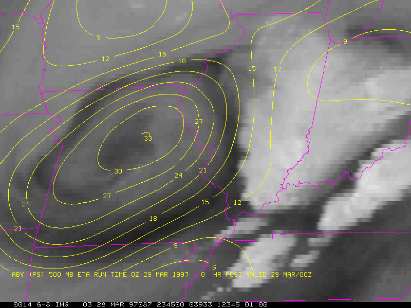
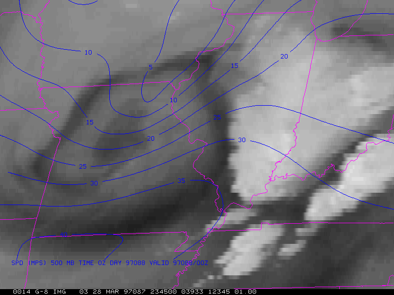
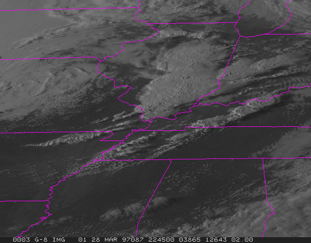
GOES-8 water vapor imagery and numerical model data showed a mid-tropospheric vorticity lobe and jet streak propagating eastward toward a surface cold front that was moving through the region. The approach of colder and drier air in the mid-troposphere coupled with increasing low-level moisture along and ahead of the cold front led to moderate to strong convective instability over much of the Ohio and Tennessee valleys. Overshooting thunderstorm tops are clearly seen on a GOES-8 visible image from 22:45 UTC.
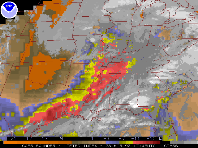
One measure of convective instability is the lifted index, which can be derived using GOES sounder data. GOES-8 sounder-derived lifted indices less than -7 began to expand northward into southeast Missouri and southern Illinois a few hours before convection began to form over that region. This case demonstrates the value of realtime GOES sounder products as an aid to forecasting convective weather events.