03 May 1999 -- GOES-8 Imager Visible
Oklahoma Tornado Outbreak
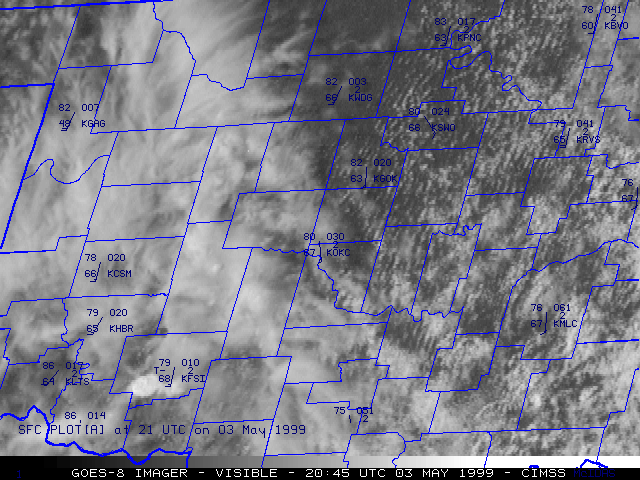
This loop of GOES-8 visible imagery with hourly surface reports shows the explosive development of supercell convection across Oklahoma on 03 May 1999. Several "overshooting tops" can be seen protruding above the anvil surface, marking the locations of the most vigorous updraft regions.
 A loop of Twin Lakes OK WSR-88D base reflectivity and Oklahoma Mesonet surface reports can be seen here. [courtesy of the Oklahoma Climatological Survey, and Jim LaDue, NOAA/OSF/OTB]
